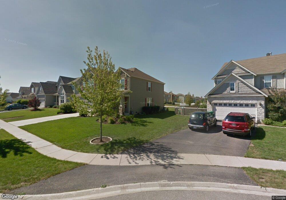
1272 Sandy Dr Antioch, IL 60002
Estimated Value: $417,000 - $427,000
4
Beds
3
Baths
2,554
Sq Ft
$165/Sq Ft
Est. Value
About This Home
This home is located at 1272 Sandy Dr, Antioch, IL 60002 and is currently estimated at $420,846, approximately $164 per square foot. 1272 Sandy Dr is a home located in Lake County with nearby schools including Antioch Community High School.
Ownership History
Date
Name
Owned For
Owner Type
Purchase Details
Closed on
Sep 27, 2004
Sold by
Neumann Homes Inc
Bought by
Zaveson Mark D and Zaveson Linda
Current Estimated Value
Home Financials for this Owner
Home Financials are based on the most recent Mortgage that was taken out on this home.
Original Mortgage
$203,435
Outstanding Balance
$101,561
Interest Rate
5.89%
Mortgage Type
Purchase Money Mortgage
Estimated Equity
$319,285
Create a Home Valuation Report for This Property
The Home Valuation Report is an in-depth analysis detailing your home's value as well as a comparison with similar homes in the area
Home Values in the Area
Average Home Value in this Area
Purchase History
| Date | Buyer | Sale Price | Title Company |
|---|---|---|---|
| Zaveson Mark D | $254,500 | Chicago Title |
Source: Public Records
Mortgage History
| Date | Status | Borrower | Loan Amount |
|---|---|---|---|
| Open | Zaveson Mark D | $203,435 |
Source: Public Records
Tax History Compared to Growth
Tax History
| Year | Tax Paid | Tax Assessment Tax Assessment Total Assessment is a certain percentage of the fair market value that is determined by local assessors to be the total taxable value of land and additions on the property. | Land | Improvement |
|---|---|---|---|---|
| 2024 | $12,683 | $117,210 | $9,399 | $107,811 |
| 2023 | $11,797 | $104,952 | $8,416 | $96,536 |
| 2022 | $11,797 | $93,247 | $10,848 | $82,399 |
| 2021 | $11,137 | $87,008 | $10,122 | $76,886 |
| 2020 | $10,952 | $84,605 | $9,842 | $74,763 |
| 2019 | $11,077 | $80,908 | $9,412 | $71,496 |
| 2018 | $9,835 | $71,992 | $10,504 | $61,488 |
| 2017 | $9,745 | $68,525 | $9,998 | $58,527 |
| 2016 | $9,519 | $66,131 | $9,649 | $56,482 |
| 2015 | $7,351 | $64,449 | $9,404 | $55,045 |
| 2014 | $6,963 | $65,978 | $11,404 | $54,574 |
| 2012 | $6,441 | $65,978 | $11,404 | $54,574 |
Source: Public Records
Map
Nearby Homes
- 1062 Neuhaven Dr
- 1055 Christine Ln
- 1214 Jerome Ct
- 1063 Joy Ct
- 1056 Deertrail Ct
- 1082 Holly Dr
- 1286 Goldfinch Ln
- 1328 Blue Heron Cir
- 631 Hidden Creek Dr
- 39930 Savage Rd
- 1101 N Deep Lake Rd
- 895 Timber Lake Dr
- 42909 N Deep Lake Rd
- 865 Sterling Heights Dr
- 336 Oakhill Ct
- 41092 N Deep Lake Rd
- 20215 W Miller Rd
- 19900 128th St Unit 44
- 19900 128th St Unit 317
- 19900 128th St Unit 210
- 1268 Sandy Dr
- 1280 Sandy Dr
- 1266 Sandy Dr
- 1259 Bradford Ln
- 1099 Neuhaven Dr
- 1284 Sandy Dr
- 1095 Neuhaven Dr
- 1264 Sandy Dr
- 1262 Sandy Dr
- 1253 Bradford Ln
- 1089 Neuhaven Dr
- 1288 Sandy Dr
- 1083 Neuhaven Dr
- 1247 Bradford Ln
- 1098 Mackenzie Dr
- 1089 Devon Dr
- 1081 Devon Dr
- 1094 Mackenzie Dr
- 1076 Neuhaven Dr
- 1114 Mackenzie Dr