12726 133rd St Burlington, IA 52601
Estimated Value: $222,000 - $298,000
3
Beds
1
Bath
1,744
Sq Ft
$143/Sq Ft
Est. Value
About This Home
This home is located at 12726 133rd St, Burlington, IA 52601 and is currently estimated at $249,704, approximately $143 per square foot. 12726 133rd St is a home located in Des Moines County with nearby schools including Mediapolis Elementary School, Mediapolis Community Middle School, and Mediapolis High School.
Ownership History
Date
Name
Owned For
Owner Type
Purchase Details
Closed on
Oct 5, 2018
Sold by
Brissey Michael L and Porter Wendy L
Bought by
Brissey Michael L and Porter Wendy L
Current Estimated Value
Purchase Details
Closed on
May 4, 2010
Sold by
Johnson Bryuce L and Johnson Debra J
Bought by
Brissey Michael L
Home Financials for this Owner
Home Financials are based on the most recent Mortgage that was taken out on this home.
Original Mortgage
$92,000
Interest Rate
5.5%
Mortgage Type
Adjustable Rate Mortgage/ARM
Purchase Details
Closed on
May 3, 2010
Sold by
Johnson Bryuce L and Johnson Debra J
Bought by
Brissey Michael L
Home Financials for this Owner
Home Financials are based on the most recent Mortgage that was taken out on this home.
Original Mortgage
$92,000
Interest Rate
5.5%
Mortgage Type
Adjustable Rate Mortgage/ARM
Create a Home Valuation Report for This Property
The Home Valuation Report is an in-depth analysis detailing your home's value as well as a comparison with similar homes in the area
Home Values in the Area
Average Home Value in this Area
Purchase History
| Date | Buyer | Sale Price | Title Company |
|---|---|---|---|
| Brissey Michael L | -- | -- | |
| Brissey Michael L | $105,000 | None Available | |
| Brissey Michael L | $105,000 | None Available |
Source: Public Records
Mortgage History
| Date | Status | Borrower | Loan Amount |
|---|---|---|---|
| Previous Owner | Brissey Michael L | $92,000 | |
| Previous Owner | Brissey Michael L | $92,000 |
Source: Public Records
Tax History Compared to Growth
Tax History
| Year | Tax Paid | Tax Assessment Tax Assessment Total Assessment is a certain percentage of the fair market value that is determined by local assessors to be the total taxable value of land and additions on the property. | Land | Improvement |
|---|---|---|---|---|
| 2025 | $1,778 | $190,800 | $34,800 | $156,000 |
| 2024 | $1,778 | $171,000 | $34,800 | $136,200 |
| 2023 | $1,922 | $171,000 | $34,800 | $136,200 |
| 2022 | $1,878 | $160,400 | $34,800 | $125,600 |
| 2021 | $1,878 | $160,400 | $34,800 | $125,600 |
| 2020 | $2,014 | $160,400 | $34,800 | $125,600 |
| 2019 | $1,588 | $160,400 | $34,800 | $125,600 |
| 2018 | $1,554 | $123,300 | $25,500 | $97,800 |
| 2017 | $1,554 | $122,400 | $0 | $0 |
| 2016 | $1,548 | $122,400 | $0 | $0 |
| 2015 | $1,548 | $122,400 | $0 | $0 |
| 2014 | $1,570 | $116,000 | $0 | $0 |
Source: Public Records
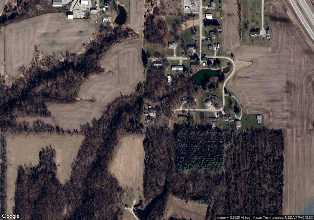
Map
Nearby Homes
- 12731 U S 61
- 13087 Cedar Hills Dr
- 13186 Cedar Hills Dr
- 12251 Celestia Dr
- TBD Iowa City Rd
- 11475 Plank Rd
- 11738 Greenwood Dr
- 11000 Wildlife Lakes Dr
- 11779 Greenwood Dr
- 10976 Wood Duck Cove Dr
- 11161 Iroquois Rd
- 11047 137th Ave
- 10591 Rolling Hills Dr
- 11345 Timberlake Dr
- 14876 Washington Rd Unit 136
- 14876 Washington Rd Unit 87
- 14876 Washington Rd Unit 174
- 14876 Washington Rd Unit 166
- 14876 Washington Rd Unit 192
- 14876 Washington Rd Unit 125
- 12678 133rd St
- 12667 133rd St
- 0 133rd St
- 12679 134th St
- 12713 134th St
- 12633 133rd St
- 12647 134th St
- 12686 134th St
- 12615 133rd St
- 12668 134th St
- 12614 134th St
- 13412 127th Ave
- 0 Pfeiff Rd Unit 6304296
- 0 Pfeiff Rd Unit 6175537
- 13420 127th Ave
- 13420 127th Ave
- 12520 Pfeiff Rd
- 12986 127th Ave
- 12987 127th Ave
- 13384 Highway 61