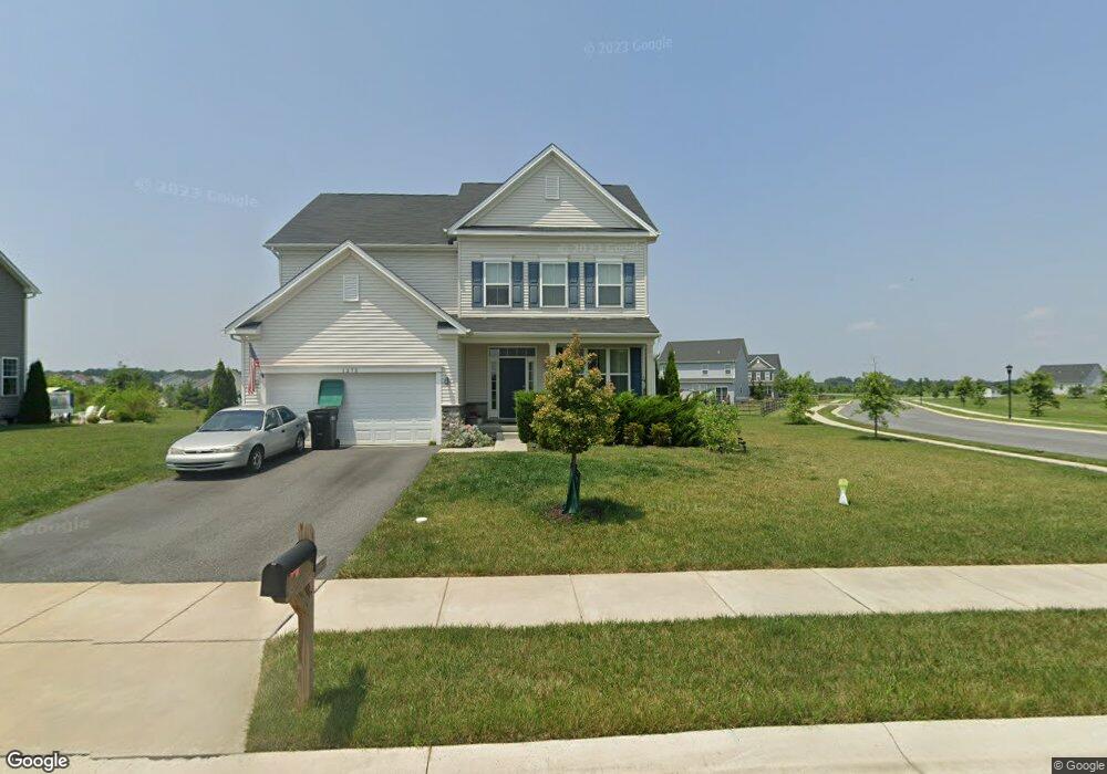
1273 N Olmsted Pkwy Middletown, DE 19709
Estimated Value: $531,000 - $604,000
3
Beds
3
Baths
2,346
Sq Ft
$240/Sq Ft
Est. Value
About This Home
This home is located at 1273 N Olmsted Pkwy, Middletown, DE 19709 and is currently estimated at $562,153, approximately $239 per square foot. 1273 N Olmsted Pkwy is a home with nearby schools including Southern Elementary School and Gunning Bedford Middle School.
Ownership History
Date
Name
Owned For
Owner Type
Purchase Details
Closed on
Jun 8, 2017
Sold by
Calatlantic Group Inc
Bought by
Chaves Patricia
Current Estimated Value
Home Financials for this Owner
Home Financials are based on the most recent Mortgage that was taken out on this home.
Original Mortgage
$303,666
Outstanding Balance
$255,171
Interest Rate
4.4%
Mortgage Type
FHA
Estimated Equity
$306,982
Purchase Details
Closed on
Jul 28, 2016
Sold by
Hyetts Corner Llc
Bought by
Calatlantic Group Inc
Create a Home Valuation Report for This Property
The Home Valuation Report is an in-depth analysis detailing your home's value as well as a comparison with similar homes in the area
Home Values in the Area
Average Home Value in this Area
Purchase History
| Date | Buyer | Sale Price | Title Company |
|---|---|---|---|
| Chaves Patricia | $309,269 | None Available | |
| Calatlantic Group Inc | -- | Attorney |
Source: Public Records
Mortgage History
| Date | Status | Borrower | Loan Amount |
|---|---|---|---|
| Open | Chaves Patricia | $303,666 |
Source: Public Records
Tax History Compared to Growth
Tax History
| Year | Tax Paid | Tax Assessment Tax Assessment Total Assessment is a certain percentage of the fair market value that is determined by local assessors to be the total taxable value of land and additions on the property. | Land | Improvement |
|---|---|---|---|---|
| 2024 | $3,429 | $98,600 | $11,900 | $86,700 |
| 2023 | $3,134 | $98,600 | $11,900 | $86,700 |
| 2022 | $3,264 | $98,600 | $11,900 | $86,700 |
| 2021 | $3,262 | $98,600 | $11,900 | $86,700 |
| 2020 | $3,283 | $98,600 | $11,900 | $86,700 |
| 2019 | $3,393 | $98,600 | $11,900 | $86,700 |
| 2018 | $3,230 | $98,600 | $11,900 | $86,700 |
| 2017 | $209 | $98,600 | $11,900 | $86,700 |
| 2016 | $186 | $6,800 | $6,800 | $0 |
| 2015 | $186 | $6,800 | $6,800 | $0 |
| 2014 | $187 | $6,800 | $6,800 | $0 |
Source: Public Records
Map
Nearby Homes
- 218 Rossnakill Rd
- 1218 N Olmsted Pkwy
- 1221 N Olmsted Pkwy
- 832 Lissicasey Loop
- 1169 S Olmsted Pkwy
- 467 Hyetts Corner Rd
- 420 Cicero Crossing
- 1814 S Pollock Way
- 1553 E Matisse Dr
- 0 Port Penn Rd
- 3502 Pipewell Ln
- 704 Bullen Dr
- 3031 Ivyhouse Ln
- 3029 Ivyhouse Ln
- 1422 Pennfield Dr
- 3134 Pett Level Dr
- 3225 Way
- Kerr Plan at K. Hovnanian’s® Four Seasons at Pennfield
- Aberdeen II Plan at K. Hovnanian’s® Four Seasons at Pennfield
- Carver Plan at K. Hovnanian’s® Four Seasons at Pennfield
- 1271 N Olmsted Pkwy
- 200 Saffron Cir
- 600 Paprika Place
- 1269 N Olmsted Pkwy
- 1270 N Olmsted Pkwy
- 602 Paprika Place
- 1267 N Olmsted Pkwy
- 1268 N Olmsted Pkwy
- 202 Saffron Cir
- 604 Paprika Place
- 203 Saffron Cir
- 606 Paprika Place
- 1266 N Olmsted Pkwy
- 204 Saffron Cir
- 601 Paprika Place
- 603 Paprika Place
- 205 Saffron Cir
- 605 Paprika Place
- 608 Paprika Place
- 206 Saffron Cir