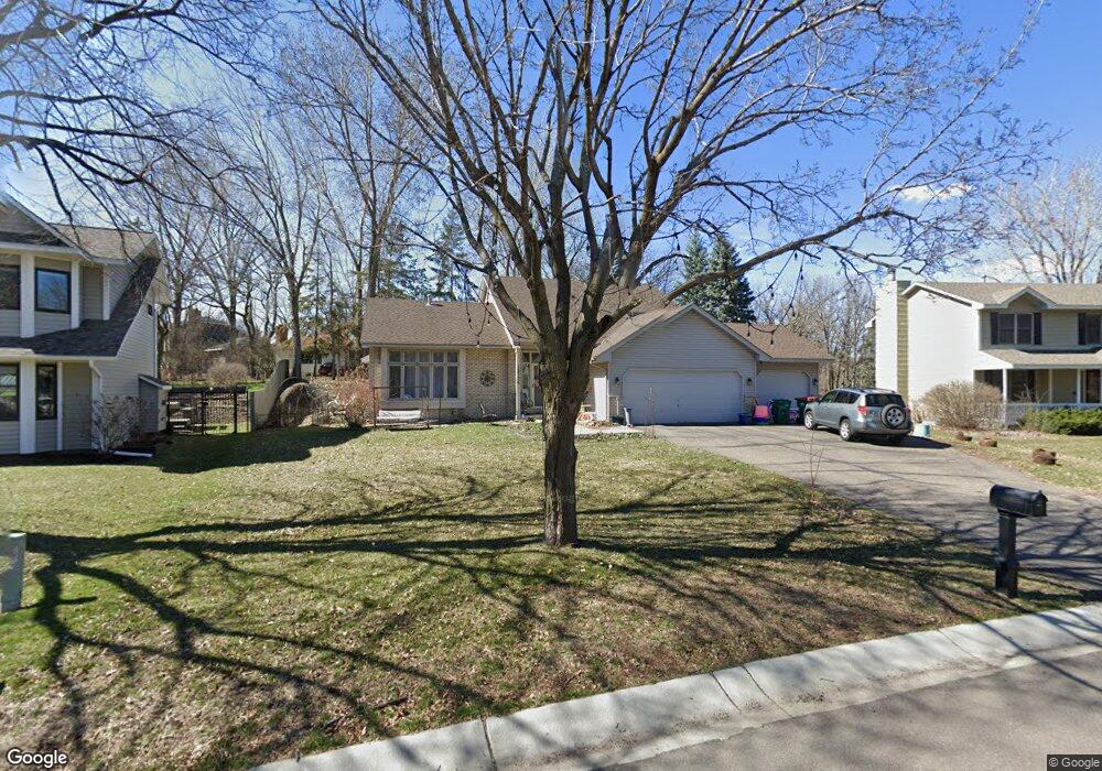
12736 Ibis St NW Coon Rapids, MN 55448
Estimated Value: $419,000 - $449,000
4
Beds
3
Baths
2,842
Sq Ft
$152/Sq Ft
Est. Value
About This Home
This home is located at 12736 Ibis St NW, Coon Rapids, MN 55448 and is currently estimated at $432,218, approximately $152 per square foot. 12736 Ibis St NW is a home located in Anoka County with nearby schools including Lucile Bruner Elementary School, Morris Bye Elementary School, and Laughlin Junior/Senior High School.
Ownership History
Date
Name
Owned For
Owner Type
Purchase Details
Closed on
May 30, 2019
Sold by
Arntson Timothy J and Arntson Bonita M
Bought by
Dabrowski Michelle
Current Estimated Value
Home Financials for this Owner
Home Financials are based on the most recent Mortgage that was taken out on this home.
Original Mortgage
$294,566
Outstanding Balance
$261,640
Interest Rate
4.62%
Mortgage Type
FHA
Estimated Equity
$170,578
Create a Home Valuation Report for This Property
The Home Valuation Report is an in-depth analysis detailing your home's value as well as a comparison with similar homes in the area
Home Values in the Area
Average Home Value in this Area
Purchase History
| Date | Buyer | Sale Price | Title Company |
|---|---|---|---|
| Dabrowski Michelle | $300,000 | The Title Group Inc |
Source: Public Records
Mortgage History
| Date | Status | Borrower | Loan Amount |
|---|---|---|---|
| Open | Dabrowski Michelle | $294,566 |
Source: Public Records
Tax History Compared to Growth
Tax History
| Year | Tax Paid | Tax Assessment Tax Assessment Total Assessment is a certain percentage of the fair market value that is determined by local assessors to be the total taxable value of land and additions on the property. | Land | Improvement |
|---|---|---|---|---|
| 2025 | $4,523 | $403,500 | $90,000 | $313,500 |
| 2024 | $4,523 | $402,500 | $87,000 | $315,500 |
| 2023 | $5,019 | $392,600 | $72,000 | $320,600 |
| 2022 | $3,854 | $399,400 | $72,000 | $327,400 |
| 2021 | $3,545 | $326,300 | $56,000 | $270,300 |
| 2020 | $3,516 | $313,800 | $56,000 | $257,800 |
| 2019 | $3,326 | $299,000 | $56,000 | $243,000 |
| 2018 | $3,260 | $276,100 | $0 | $0 |
| 2017 | $3,114 | $263,000 | $0 | $0 |
| 2016 | $3,169 | $246,400 | $0 | $0 |
| 2015 | -- | $246,400 | $50,000 | $196,400 |
| 2014 | -- | $205,400 | $35,400 | $170,000 |
Source: Public Records
Map
Nearby Homes
- 1930 127th Cir NW
- 12554 Grouse St NW
- 1520 129th Ave NW
- 1593 126th Ln NW
- 1687 131st Ln NW
- 12796 Bluebird St NW
- 1450 126th Ln NW
- 1776 133rd Ave NW
- 12760 Raven St NW
- 12365 Jay St NW
- 1625 124th Ave NW
- 2147 125th Ln NW
- 2068 124th Ln NW
- 12463 Drake St NW
- 1234 128th Cir NW
- 13416 Swallow St NW
- 1727 121st Ln NW
- 13519 Partridge Cir NW
- 12488 Unity St NW
- 13182 Zion St NW
- 12730 Ibis St NW
- 12746 Ibis St NW
- 1812 127th Ln NW
- 1805 127th Ln NW
- 12735 Ibis St NW
- 12727 Ibis St NW
- 12754 Ibis St NW
- 1820 127th Ln NW
- 12729 Killdeer St NW
- 12743 Ibis St NW
- 12762 Ibis St NW
- 12713 Killdeer St NW
- 12737 Killdeer St NW
- 1813 127th Ln NW
- 1828 127th Ln NW
- 12751 Ibis St NW
- 12709 Killdeer St NW
- 12770 Ibis St NW
- 1821 127th Ln NW
- 1754 128th Ave NW