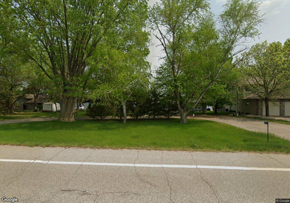
12739 County Road 9 NE Spicer, MN 56288
Estimated Value: $320,000 - $527,000
--
Bed
1
Bath
1,351
Sq Ft
$307/Sq Ft
Est. Value
About This Home
This home is located at 12739 County Road 9 NE, Spicer, MN 56288 and is currently estimated at $414,262, approximately $306 per square foot. 12739 County Road 9 NE is a home located in Kandiyohi County with nearby schools including Prairie Woods Elementary School, New London-Spicer Middle School, and New London-Spicer Senior High School.
Ownership History
Date
Name
Owned For
Owner Type
Purchase Details
Closed on
Oct 27, 2021
Sold by
Davis Richard A and Davis Beulah B
Bought by
Donner Kateri Ann and Donner Bob Gary
Current Estimated Value
Home Financials for this Owner
Home Financials are based on the most recent Mortgage that was taken out on this home.
Original Mortgage
$175,000
Outstanding Balance
$160,402
Interest Rate
3.01%
Mortgage Type
New Conventional
Estimated Equity
$253,860
Create a Home Valuation Report for This Property
The Home Valuation Report is an in-depth analysis detailing your home's value as well as a comparison with similar homes in the area
Home Values in the Area
Average Home Value in this Area
Purchase History
| Date | Buyer | Sale Price | Title Company |
|---|---|---|---|
| Donner Kateri Ann | $349,000 | None Available |
Source: Public Records
Mortgage History
| Date | Status | Borrower | Loan Amount |
|---|---|---|---|
| Open | Donner Kateri Ann | $175,000 |
Source: Public Records
Tax History Compared to Growth
Tax History
| Year | Tax Paid | Tax Assessment Tax Assessment Total Assessment is a certain percentage of the fair market value that is determined by local assessors to be the total taxable value of land and additions on the property. | Land | Improvement |
|---|---|---|---|---|
| 2025 | $4,748 | $351,800 | $228,900 | $122,900 |
| 2024 | $4,612 | $337,100 | $228,900 | $108,200 |
| 2023 | $4,488 | $328,000 | $218,000 | $110,000 |
| 2022 | $4,724 | $319,300 | $218,000 | $101,300 |
| 2021 | $4,282 | $264,200 | $178,100 | $86,100 |
| 2020 | $4,184 | $250,900 | $174,400 | $76,500 |
| 2019 | $4,158 | $244,000 | $167,200 | $76,800 |
| 2018 | $3,986 | $240,500 | $167,200 | $73,300 |
| 2017 | $3,928 | $232,900 | $167,200 | $65,700 |
| 2016 | $3,882 | $2,232 | $0 | $0 |
| 2015 | -- | $0 | $0 | $0 |
| 2014 | -- | $0 | $0 | $0 |
Source: Public Records
Map
Nearby Homes
- 4316 133rd Ave NE
- 4808 132nd Ave NE Unit 25
- 5078 132nd Ave NE
- 5288 132nd Ave NE Unit C7
- 5288 (R22) 53rd St NE
- 5288 (R24) 53rd St NE
- 5272 (R26) 53rd St NE
- 5288 (R19) 53rd St NE
- 13205 (R17) 53rd St NE
- 5288 (R23) 53rd St NE
- 4539 141st Ave NE
- 10957 Highway 71 NE
- 6844 140th Ave NE
- 621 Loretta Cir
- 403 Miller St
- 6567 150th Ave NE
- - Agnes St & 6th Ave Bypass
- 311 131st Ave NE
- 263 Lake Ave N
- 14224 Skyline Dr
- 12763 County Road 9 NE
- 12707 County Road 9 NE
- 12681 County Road 9 NE
- 12801 42nd St NE
- 12655 County Road 9 NE
- 12821 42nd St NE
- 12611 County Road 9 NE
- 12549 County Road 9 NE
- 12535 County Road 9 NE
- 12919 42nd St NE
- 12916 42nd St NE
- 12931 42nd St NE
- 12479 County Road 9 NE
- 12953 42nd St NE
- 12953 12953 Ne 42 Street--
- 12953 NE 42 St
- 12960 42nd St NE
- 12979 42nd St NE
- 13010 42nd St NE
- 12457 County Road 9 NE