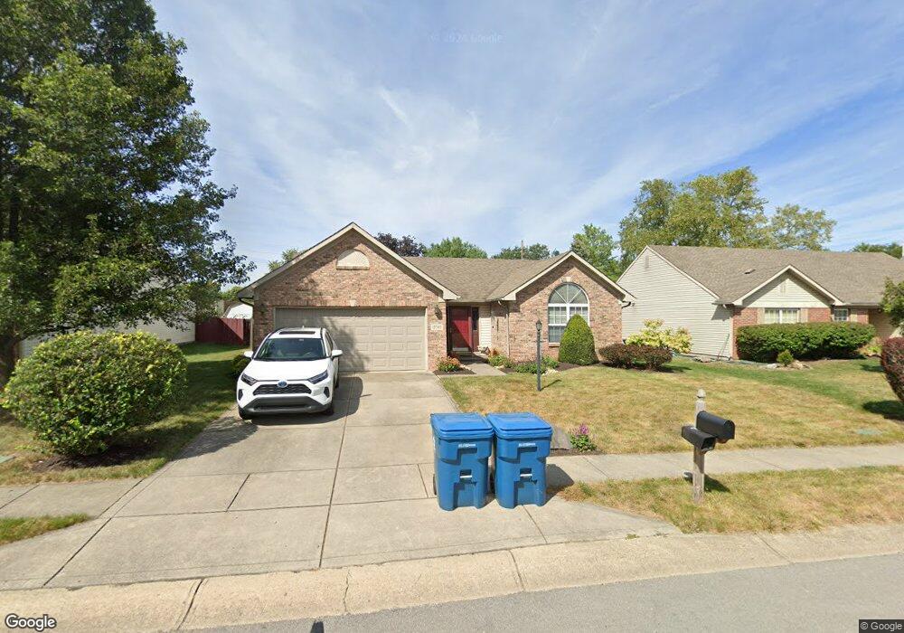
12740 Sovereign Ln Fishers, IN 46038
Estimated Value: $311,000 - $318,000
3
Beds
2
Baths
1,419
Sq Ft
$221/Sq Ft
Est. Value
About This Home
This home is located at 12740 Sovereign Ln, Fishers, IN 46038 and is currently estimated at $313,745, approximately $221 per square foot. 12740 Sovereign Ln is a home located in Hamilton County with nearby schools including Cumberland Road Elementary School, East Middle School, and Fishers Junior High School.
Ownership History
Date
Name
Owned For
Owner Type
Purchase Details
Closed on
Sep 3, 2008
Sold by
West Linda M
Bought by
Loughmiller Brock
Current Estimated Value
Home Financials for this Owner
Home Financials are based on the most recent Mortgage that was taken out on this home.
Original Mortgage
$105,600
Outstanding Balance
$70,708
Interest Rate
6.66%
Mortgage Type
Purchase Money Mortgage
Estimated Equity
$243,037
Purchase Details
Closed on
Aug 2, 2004
Sold by
Mcclelland Sonja K
Bought by
West Linda M
Home Financials for this Owner
Home Financials are based on the most recent Mortgage that was taken out on this home.
Original Mortgage
$65,000
Interest Rate
6.34%
Mortgage Type
New Conventional
Create a Home Valuation Report for This Property
The Home Valuation Report is an in-depth analysis detailing your home's value as well as a comparison with similar homes in the area
Home Values in the Area
Average Home Value in this Area
Purchase History
| Date | Buyer | Sale Price | Title Company |
|---|---|---|---|
| Loughmiller Brock | -- | None Available | |
| West Linda M | -- | -- |
Source: Public Records
Mortgage History
| Date | Status | Borrower | Loan Amount |
|---|---|---|---|
| Open | Loughmiller Brock | $105,600 | |
| Previous Owner | West Linda M | $65,000 |
Source: Public Records
Tax History Compared to Growth
Tax History
| Year | Tax Paid | Tax Assessment Tax Assessment Total Assessment is a certain percentage of the fair market value that is determined by local assessors to be the total taxable value of land and additions on the property. | Land | Improvement |
|---|---|---|---|---|
| 2024 | $2,482 | $250,400 | $38,000 | $212,400 |
| 2023 | $2,482 | $238,900 | $38,000 | $200,900 |
| 2022 | $2,458 | $219,900 | $38,000 | $181,900 |
| 2021 | $1,998 | $184,500 | $38,000 | $146,500 |
| 2020 | $1,726 | $165,400 | $38,000 | $127,400 |
| 2019 | $1,644 | $159,400 | $34,800 | $124,600 |
| 2018 | $1,505 | $150,100 | $34,800 | $115,300 |
| 2017 | $1,380 | $142,800 | $34,800 | $108,000 |
| 2016 | $1,342 | $140,800 | $34,800 | $106,000 |
| 2014 | $1,073 | $127,000 | $37,100 | $89,900 |
| 2013 | $1,073 | $126,100 | $37,100 | $89,000 |
Source: Public Records
Map
Nearby Homes
- 12959 Shandon Ln
- 12677 Ladson St
- 12991 Wingstem Ct
- 10066 Perlita Place
- 11798 & 11842 E 131st St
- 13068 Lamarque Place
- 10150 Beresford Ct
- 13125 Zinfandel Place
- 12966 Pleasant View Ln
- 13048 Ross Crossing
- 10513 Blue Springs Ln
- 10175 Pamona Ct
- 10671 Pleasant View Ln
- 9080 Teaneck Dr
- 12126 Blue Springs Ln
- 9050 Sparta Dr
- 13068 Raritan Dr
- 12638 Granite Ridge Cir
- 10523 Hollowood Ct
- 12541 Trester Ln
- 12746 Sovereign Ln
- 12732 Sovereign Ln
- 12752 Sovereign Ln
- 12726 Sovereign Ln
- 12739 Sovereign Ln
- 12731 Sovereign Ln
- 12758 Sovereign Ln
- 12698 Sovereign Ln
- 12747 Sovereign Ln
- 12849 Longleaf Ln
- 12725 Sovereign Ln
- 12845 Longleaf Ln
- 12853 Longleaf Ln
- 12751 Sovereign Ln
- 12695 Sovereign Ln
- 12764 Sovereign Ln
- 12694 Sovereign Ln
- 9746 Greystoke Ct
- 9744 Greystoke Ct
- 12857 Longleaf Ln