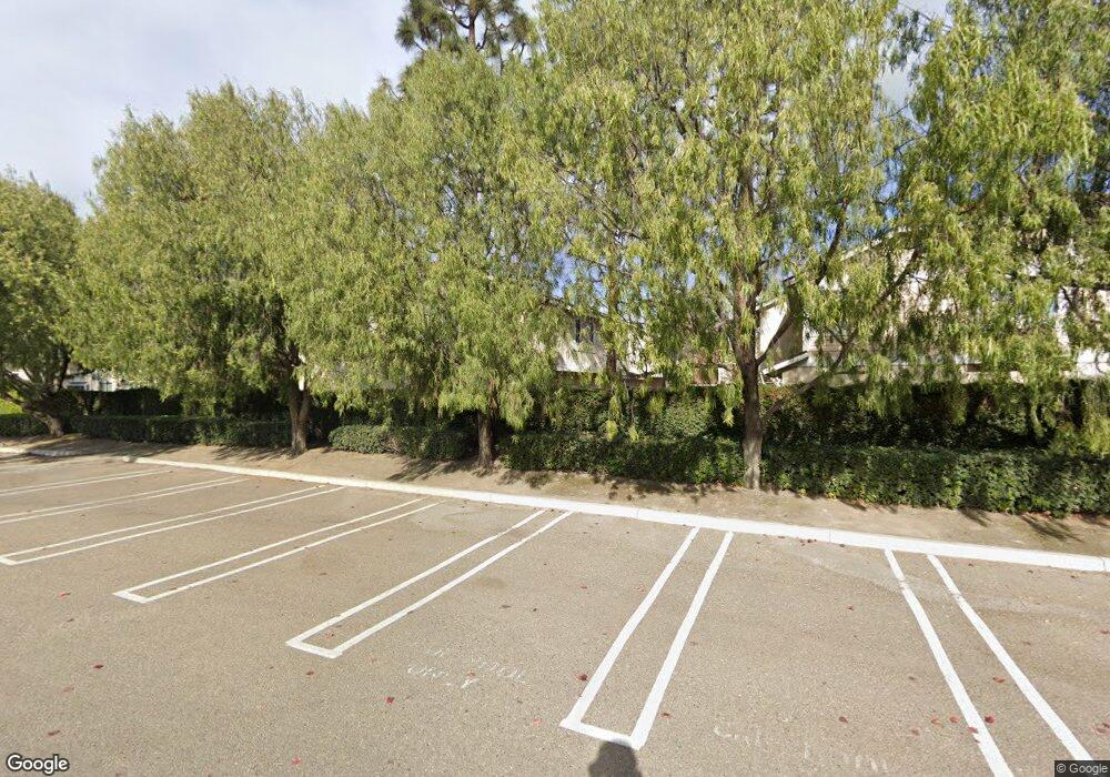
12741 Springbrook Way Stanton, CA 90680
Estimated Value: $668,626 - $701,000
3
Beds
2
Baths
1,094
Sq Ft
$624/Sq Ft
Est. Value
About This Home
This home is located at 12741 Springbrook Way, Stanton, CA 90680 and is currently estimated at $682,907, approximately $624 per square foot. 12741 Springbrook Way is a home located in Orange County with nearby schools including Wakeham Elementary School, Alamitos Intermediate School, and Pacifica High School.
Ownership History
Date
Name
Owned For
Owner Type
Purchase Details
Closed on
Feb 17, 1998
Sold by
Gill Diana K
Bought by
Osullivan Thomas
Current Estimated Value
Home Financials for this Owner
Home Financials are based on the most recent Mortgage that was taken out on this home.
Original Mortgage
$123,750
Outstanding Balance
$22,122
Interest Rate
7.11%
Estimated Equity
$660,785
Create a Home Valuation Report for This Property
The Home Valuation Report is an in-depth analysis detailing your home's value as well as a comparison with similar homes in the area
Home Values in the Area
Average Home Value in this Area
Purchase History
| Date | Buyer | Sale Price | Title Company |
|---|---|---|---|
| Osullivan Thomas | $137,500 | Benefit Land Title Company |
Source: Public Records
Mortgage History
| Date | Status | Borrower | Loan Amount |
|---|---|---|---|
| Open | Osullivan Thomas | $123,750 |
Source: Public Records
Tax History Compared to Growth
Tax History
| Year | Tax Paid | Tax Assessment Tax Assessment Total Assessment is a certain percentage of the fair market value that is determined by local assessors to be the total taxable value of land and additions on the property. | Land | Improvement |
|---|---|---|---|---|
| 2025 | $2,775 | $219,541 | $93,427 | $126,114 |
| 2024 | $2,775 | $215,237 | $91,595 | $123,642 |
| 2023 | $2,721 | $211,017 | $89,799 | $121,218 |
| 2022 | $2,662 | $206,880 | $88,038 | $118,842 |
| 2021 | $2,634 | $202,824 | $86,312 | $116,512 |
| 2020 | $2,597 | $200,745 | $85,427 | $115,318 |
| 2019 | $2,550 | $196,809 | $83,752 | $113,057 |
| 2018 | $2,499 | $192,950 | $82,109 | $110,841 |
| 2017 | $2,463 | $189,167 | $80,499 | $108,668 |
| 2016 | $2,365 | $185,458 | $78,920 | $106,538 |
| 2015 | $2,332 | $182,673 | $77,735 | $104,938 |
| 2014 | $2,278 | $179,095 | $76,212 | $102,883 |
Source: Public Records
Map
Nearby Homes
- 7737 Ferndale Cir Unit D
- 13202 Hoover St Unit 18
- 13202 Hoover St Unit 42
- 12683 Ferndale Cir
- 7700 Lampson Ave Unit 94
- 7700 Lampson Ave Unit 117
- 7700 Lampson Ave Unit 52
- 7700 Lampson Ave Unit 15
- 7700 Lampson Ave Unit 138
- 12651 Glendale Cir
- 12640 Briarglen Loop Unit F
- 8051 Acacia Ave Unit 23
- 12620 Briarglen Loop Unit B
- 8111 Stanford Ave Unit 128
- 8111 Stanford Ave Unit 98
- 8111 Stanford Ave
- 8111 Stanford Ave Unit 127
- 13282 Beach Terrace Dr
- 13472 Iowa St
- 13523 Cobblestone Ln
- 12745 Springbrook Way Unit 471
- 7728 Meadowbrook Way
- 12740 Rosebrook Way Unit 452
- 12742 Rosebrook Way
- 12744 Rosebrook Way
- 12747 Rosebrook Way Unit 448
- 12745 Rosebrook Way Unit 447
- 12743 Rosebrook Way
- 12741 Rosebrook Way
- 398 Sunrise Ln
- 376 Sunrise Ln
- 372 Sunrise Ln
- 373 Sunrise Ln
- 352 Sunrise Ln
- 7702 Clearbrook Way Unit 441
- 7705 Clearbrook Way Unit 438
- 12740 Springbrook Way
- 7732 Eastbrook Way Unit 479
- 7730 Eastbrook Way Unit 478
- 12742 Springbrook Way Unit 475
