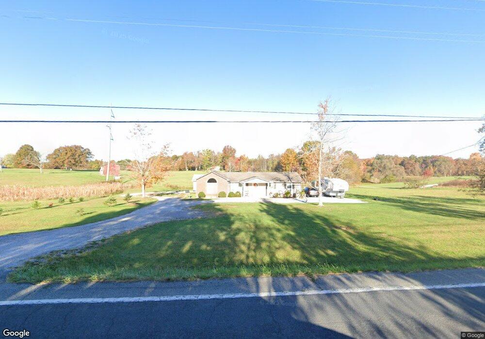
12745 Highway 127 N Crossville, TN 38571
Estimated Value: $121,000 - $238,000
--
Bed
1
Bath
1,475
Sq Ft
$126/Sq Ft
Est. Value
About This Home
This home is located at 12745 Highway 127 N, Crossville, TN 38571 and is currently estimated at $186,492, approximately $126 per square foot. 12745 Highway 127 N is a home located in Cumberland County with nearby schools including North Cumberland Elementary School and Stone Memorial High School.
Ownership History
Date
Name
Owned For
Owner Type
Purchase Details
Closed on
Dec 29, 2020
Sold by
Key Michael and Key Jill
Bought by
Allred Kayron
Current Estimated Value
Purchase Details
Closed on
Nov 25, 2015
Sold by
Allred Kayron S
Bought by
Allred Kayron S and Key Michael
Purchase Details
Closed on
May 22, 2015
Sold by
Wyatt Barbara A
Bought by
Allred Kayron S
Purchase Details
Closed on
Aug 16, 2007
Sold by
Allred Gradis
Bought by
Allred David
Create a Home Valuation Report for This Property
The Home Valuation Report is an in-depth analysis detailing your home's value as well as a comparison with similar homes in the area
Home Values in the Area
Average Home Value in this Area
Purchase History
| Date | Buyer | Sale Price | Title Company |
|---|---|---|---|
| Allred Kayron | -- | None Available | |
| Allred Kayron S | $40,000 | -- | |
| Allred Kayron S | $110,000 | -- | |
| Allred David | -- | -- |
Source: Public Records
Tax History Compared to Growth
Tax History
| Year | Tax Paid | Tax Assessment Tax Assessment Total Assessment is a certain percentage of the fair market value that is determined by local assessors to be the total taxable value of land and additions on the property. | Land | Improvement |
|---|---|---|---|---|
| 2025 | $366 | $32,275 | $2,500 | $29,775 |
| 2024 | $366 | $32,275 | $2,500 | $29,775 |
| 2023 | $0 | $32,275 | $0 | $0 |
| 2022 | $366 | $32,275 | $2,500 | $29,775 |
| 2021 | $261 | $16,675 | $2,125 | $14,550 |
| 2020 | $261 | $16,675 | $2,125 | $14,550 |
| 2019 | $261 | $16,675 | $2,125 | $14,550 |
| 2018 | $261 | $16,675 | $2,125 | $14,550 |
| 2017 | $251 | $16,675 | $2,125 | $14,550 |
| 2016 | $244 | $16,000 | $2,125 | $13,875 |
| 2015 | $311 | $20,800 | $6,800 | $14,000 |
| 2014 | $312 | $20,808 | $0 | $0 |
Source: Public Records
Map
Nearby Homes
- 279 Catoosa Ridge Dr
- 0 Hollow Lane - 35 Acres
- 410 Old Elmore Rd
- 21 Bluff View Loop
- 127 Bluff View Loop
- 60 Greenview Ln
- 145 Windswept Dr
- 0 Ashmor Dr
- 140 Colby Cir
- 0 Hollow Ln
- 257 Colby Cir
- 850 Colby Cir
- 307 Colby Cir
- 815 Colby Cir
- 1052 Catoosa Ridge Dr
- 11229 Highway 127 N
- 0 Catoosa Ridge Dr Unit 1317345
- 0 Catoosa Ridge Dr Unit 1252274
- 0 Catoosa Ridge Dr Unit 1253971
- 0 Catoosa Ridge Dr Unit 1317343
- 200 Hinch Mountain Rd
- 200 Hinch Mountain Rd Unit 200ac
- 12688 Highway 127 N
- 72 Bear Creek Rd
- 27 Bear Creek Rd
- 137 Hinds Rd
- 33 Hinch Mountain Rd
- 12917 Highway 127 N
- 28 Hinch Mountain Rd
- 113 Hinds Rd
- 12933 Highway 127 N
- 247 Hinds Rd
- 177 Bear Creek Rd
- 197 Bear Creek Rd
- 32 Old Elmore Rd
- 12481 Highway 127 N
- 12480 Highway 127 N
- 10350 127
- 13050 Highway 127 N
- 10350 Hwy 127 N