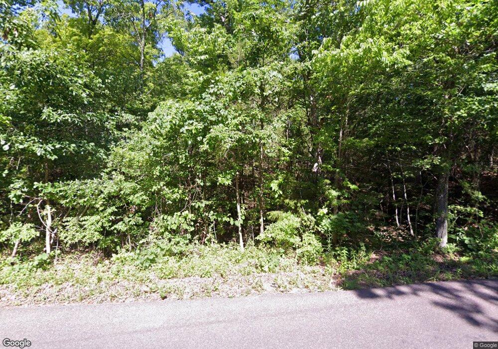
12747 Ware Rd de Soto, MO 63020
Estimated Value: $290,903 - $329,000
2
Beds
1
Bath
1,120
Sq Ft
$279/Sq Ft
Est. Value
About This Home
This home is located at 12747 Ware Rd, de Soto, MO 63020 and is currently estimated at $312,301, approximately $278 per square foot. 12747 Ware Rd is a home located in Jefferson County with nearby schools including Grandview Elementary School, Grandview Middle School, and Grandview High School.
Ownership History
Date
Name
Owned For
Owner Type
Purchase Details
Closed on
May 21, 2008
Sold by
Mcclanahan Carl R and Mcclanahan Carl Robert
Bought by
Hopkins Scott A
Current Estimated Value
Home Financials for this Owner
Home Financials are based on the most recent Mortgage that was taken out on this home.
Original Mortgage
$130,853
Outstanding Balance
$82,413
Interest Rate
5.86%
Mortgage Type
Purchase Money Mortgage
Estimated Equity
$229,888
Create a Home Valuation Report for This Property
The Home Valuation Report is an in-depth analysis detailing your home's value as well as a comparison with similar homes in the area
Home Values in the Area
Average Home Value in this Area
Purchase History
| Date | Buyer | Sale Price | Title Company |
|---|---|---|---|
| Hopkins Scott A | -- | Investors Title Company |
Source: Public Records
Mortgage History
| Date | Status | Borrower | Loan Amount |
|---|---|---|---|
| Open | Hopkins Scott A | $130,853 |
Source: Public Records
Tax History Compared to Growth
Tax History
| Year | Tax Paid | Tax Assessment Tax Assessment Total Assessment is a certain percentage of the fair market value that is determined by local assessors to be the total taxable value of land and additions on the property. | Land | Improvement |
|---|---|---|---|---|
| 2025 | $1,641 | $24,400 | $6,800 | $17,600 |
| 2024 | $1,641 | $22,800 | $6,800 | $16,000 |
| 2023 | $1,641 | $22,800 | $6,800 | $16,000 |
| 2022 | $1,637 | $22,800 | $6,800 | $16,000 |
| 2021 | $1,639 | $22,800 | $6,800 | $16,000 |
| 2020 | $1,552 | $21,000 | $5,700 | $15,300 |
| 2019 | $1,552 | $21,000 | $5,700 | $15,300 |
| 2018 | $1,557 | $21,000 | $5,700 | $15,300 |
| 2017 | $1,483 | $21,000 | $5,700 | $15,300 |
| 2016 | $1,411 | $19,600 | $5,700 | $13,900 |
| 2015 | $1,289 | $19,600 | $5,700 | $13,900 |
| 2013 | $1,289 | $19,000 | $5,100 | $13,900 |
Source: Public Records
Map
Nearby Homes
- 12711 Dude Ln
- 0 Ware Rd Unit MIS25066260
- 6734 Breckenridge Farms Rd
- 6471 State Road H
- 12658 Dry Creek Rd
- 150 Dubuque Ln
- 449 Woodsorrel Dr
- 0 Cedar Hollow Rd Unit MIS25047602
- 5 Cedar Hollow Rd
- 6 Cedar Hollow Rd
- 1 Cedar Hollow Rd
- 4 Cedar Hollow Rd
- 3 Cedar Hollow Rd
- 2 Cedar Hollow Rd
- 13160 Mammoth Rd
- 6135 Tall Cedars Rd
- 11027 State Road Ww
- 12219 Peter Moore Ln
- 6230 Big River Heights Rd
- 430 Dodson Ln
