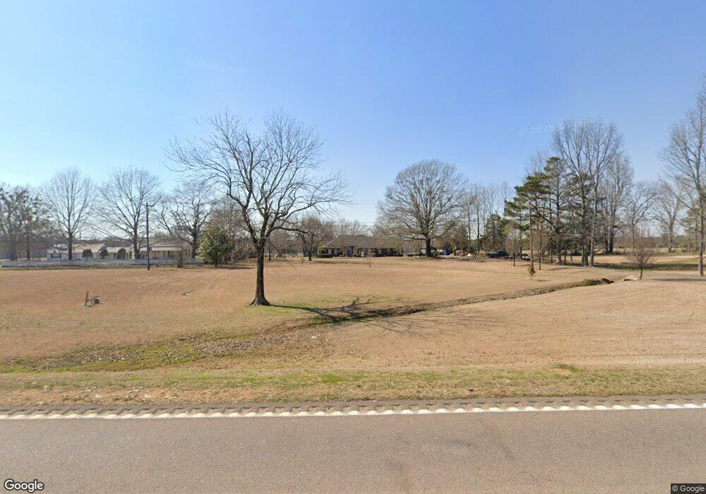
12749 Ms Highway 15 Mantee, MS 39751
Estimated Value: $258,693 - $328,000
3
Beds
--
Bath
2,672
Sq Ft
$114/Sq Ft
Est. Value
About This Home
This home is located at 12749 Ms Highway 15, Mantee, MS 39751 and is currently estimated at $304,564, approximately $113 per square foot. 12749 Ms Highway 15 is a home with nearby schools including East Webster Elementary School and East Webster High School.
Ownership History
Date
Name
Owned For
Owner Type
Purchase Details
Closed on
Aug 25, 2015
Sold by
Ware Courtney P and Ware Ricky D
Bought by
White Paul Lance and White Amanda Miles
Current Estimated Value
Home Financials for this Owner
Home Financials are based on the most recent Mortgage that was taken out on this home.
Original Mortgage
$126,000
Outstanding Balance
$99,335
Interest Rate
4.02%
Mortgage Type
Purchase Money Mortgage
Estimated Equity
$205,229
Create a Home Valuation Report for This Property
The Home Valuation Report is an in-depth analysis detailing your home's value as well as a comparison with similar homes in the area
Home Values in the Area
Average Home Value in this Area
Purchase History
| Date | Buyer | Sale Price | Title Company |
|---|---|---|---|
| White Paul Lance | -- | -- |
Source: Public Records
Mortgage History
| Date | Status | Borrower | Loan Amount |
|---|---|---|---|
| Open | White Paul Lance | $126,000 |
Source: Public Records
Tax History Compared to Growth
Tax History
| Year | Tax Paid | Tax Assessment Tax Assessment Total Assessment is a certain percentage of the fair market value that is determined by local assessors to be the total taxable value of land and additions on the property. | Land | Improvement |
|---|---|---|---|---|
| 2024 | $1,797 | $18,163 | $1,226 | $16,937 |
| 2023 | $1,823 | $18,163 | $1,226 | $16,937 |
| 2022 | $1,773 | $18,163 | $1,226 | $16,937 |
| 2021 | $1,662 | $17,280 | $1,226 | $16,054 |
| 2020 | $1,667 | $17,280 | $1,226 | $16,054 |
| 2019 | $1,667 | $17,280 | $1,226 | $16,054 |
| 2018 | $1,653 | $17,280 | $1,226 | $16,054 |
| 2017 | $1,672 | $17,094 | $1,226 | $15,868 |
| 2016 | $1,676 | $17,094 | $1,226 | $15,868 |
| 2015 | -- | $15,046 | $976 | $14,070 |
| 2014 | -- | $15,046 | $976 | $14,070 |
| 2013 | -- | $13,739 | $826 | $12,913 |
Source: Public Records
Map
Nearby Homes
- 140 Pate Rd
- 0 Mississippi 46 Unit 25-1215
- 10733 Mississippi 15
- 560 Jack Forrester Rd
- Ms-46
- 2475 Mississippi 15
- 0 Dixie Rd Unit LotWP001 19523079
- 4 Hohenlinden Rd
- 2 Hohenlinden Rd
- 1222 Hohenlinden Rd
- 0 Hohenlinden Rd
- 0 Jackson Rd ( Cr263)
- 348 Quail Hollow Ln
- 351 Quail Hollow Ln
- 166 Denney Rd
- 3394 Mississippi 50
- 483 Savannah Lake Rd
- 00 Cr 454
- Cr 454
- 0 Bluitt Rd
- 12681 Ms Highway 15
- 12529 Ms Highway 15
- 12766 Ms Highway 15
- 12681 Hwy 15
- 12758 Ms Highway 15
- 12609 Ms Highway 15
- 12546 Ms Highway 15
- 12819 Ms Highway 15
- 1756 Highway 15 S
- 12971 Ms Highway 15
- 765 Pine Bluff Rd
- 13046 Ms Highway 15
- 13106 Ms Highway 15
- 840 Pine Bluff Rd
- 13220 Ms Highway 15
- 13218 Ms Highway 15
- 13310 Ms Highway 15
- 550 Pine Bluff Rd
- 13328 Ms Highway 15
- 1286 Pine Bluff Rd