1275 Fire Rock Loop Unit 20 Templeton, CA 93465
Estimated Value: $1,737,000 - $2,346,000
4
Beds
5
Baths
3,961
Sq Ft
$529/Sq Ft
Est. Value
About This Home
This home is located at 1275 Fire Rock Loop Unit 20, Templeton, CA 93465 and is currently estimated at $2,095,845, approximately $529 per square foot. 1275 Fire Rock Loop Unit 20 is a home located in San Luis Obispo County with nearby schools including Pat Butler Elementary School, George H. Flamson Middle School, and Paso Robles High School.
Ownership History
Date
Name
Owned For
Owner Type
Purchase Details
Closed on
Mar 9, 2017
Sold by
Diamond M Investments Llc
Bought by
Vanvleck Keith W and Vanvleck Van Vleck
Current Estimated Value
Purchase Details
Closed on
Aug 20, 2013
Sold by
R E Future Llc
Bought by
Diamond M Investments Llc
Purchase Details
Closed on
Jan 4, 2011
Sold by
Weyrich Development Company Inc
Bought by
Re Future Llc
Create a Home Valuation Report for This Property
The Home Valuation Report is an in-depth analysis detailing your home's value as well as a comparison with similar homes in the area
Purchase History
| Date | Buyer | Sale Price | Title Company |
|---|---|---|---|
| Vanvleck Keith W | $1,095,000 | Fidelity National Title Co | |
| Diamond M Investments Llc | $175,000 | Fidelity National Title Co | |
| Re Future Llc | $8,230,000 | First American Title Ins Co |
Source: Public Records
Tax History
| Year | Tax Paid | Tax Assessment Tax Assessment Total Assessment is a certain percentage of the fair market value that is determined by local assessors to be the total taxable value of land and additions on the property. | Land | Improvement |
|---|---|---|---|---|
| 2025 | $13,447 | $1,270,835 | $464,232 | $806,603 |
| 2024 | $13,204 | $1,245,918 | $455,130 | $790,788 |
| 2023 | $13,204 | $1,221,489 | $446,206 | $775,283 |
| 2022 | $12,977 | $1,197,539 | $437,457 | $760,082 |
| 2021 | $12,723 | $1,174,059 | $428,880 | $745,179 |
| 2020 | $12,593 | $1,162,022 | $424,483 | $737,539 |
| 2019 | $12,346 | $1,139,238 | $416,160 | $723,078 |
| 2018 | $12,104 | $1,116,900 | $408,000 | $708,900 |
| 2017 | $10,275 | $992,573 | $210,730 | $781,843 |
| 2016 | $10,073 | $973,112 | $206,599 | $766,513 |
| 2015 | $9,919 | $958,496 | $203,496 | $755,000 |
| 2014 | $1,778 | $175,000 | $175,000 | $0 |
Source: Public Records
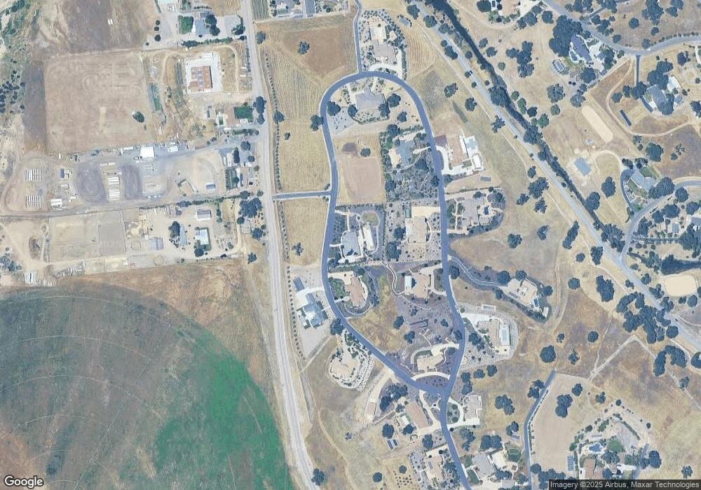
Map
Nearby Homes
- 1320 Fire Rock Loop
- 1810 LOT 28 Fire Rock Loop
- 1410 Fire Rock Loop
- 1880 Fire Rock Loop
- 1920 Fire Rock Loop
- 1505 Barley Grain Rd
- 2220 Battering Rock Rd
- 1655 Barley Grain Rd
- 1690 Barley Grain Rd
- 2264 Lake Ysabel Rd
- 829 Saint Andrews Cir
- 795 Angus St
- 2438 Battering Rock Rd
- 1720 Willowbank Ln
- 470 Kenton Ct
- 192 Sandbar Ct
- 907 Saint Ann Dr
- 911 Saint Ann Dr
- 1736 Wade Dr
- 350 Robles Rd
- 1275 Fire Rock Loop
- 22 Fire Rock Loop
- 18 Fire Rock Loop
- 1225 Fire Rock Loop Unit 19
- 1225 Fire Rock Loop
- 1585 Fire Rock Loop
- 1585 Fire Rock Loop Unit 24
- 1280 Fire Rock Loop
- 1280 Fire Rock Loop Unit 8
- 1315 Fire Rock Loop
- 1315 Fire Rock Loop Unit 21
- 1625 Fire Rock Loop
- 1625 Fire Rock Loop Unit 25
- 1535 Fire Rock Loop Unit 23
- 1535 Fire Rock Loop
- 0 Fire Rock Loop Unit PR1069399
- 1240 Fire Rock Loop
- 1240 Fire Rock Loop Unit 7
- 1320 Fire Rock Loop Unit 9
- 1560 Fire Rock Loop
Your Personal Tour Guide
Ask me questions while you tour the home.