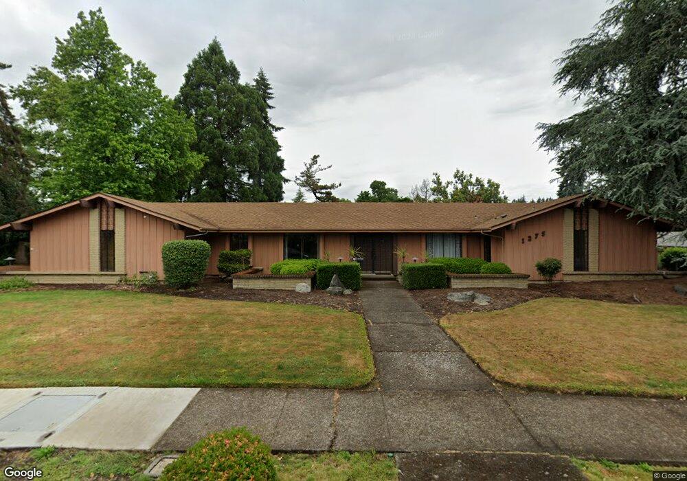
1275 Flintridge Ave Eugene, OR 97401
Cal Young NeighborhoodEstimated Value: $692,000 - $809,501
4
Beds
3
Baths
3,077
Sq Ft
$245/Sq Ft
Est. Value
About This Home
This home is located at 1275 Flintridge Ave, Eugene, OR 97401 and is currently estimated at $755,125, approximately $245 per square foot. 1275 Flintridge Ave is a home located in Lane County with nearby schools including Willagillespie Elementary School, Cal Young Middle School, and Sheldon High School.
Ownership History
Date
Name
Owned For
Owner Type
Purchase Details
Closed on
Sep 30, 2014
Sold by
Brewer Linda D
Bought by
Randall Ronald Patrick and Hustwaite Karen L
Current Estimated Value
Home Financials for this Owner
Home Financials are based on the most recent Mortgage that was taken out on this home.
Original Mortgage
$280,000
Outstanding Balance
$213,180
Interest Rate
4.07%
Mortgage Type
New Conventional
Estimated Equity
$541,945
Create a Home Valuation Report for This Property
The Home Valuation Report is an in-depth analysis detailing your home's value as well as a comparison with similar homes in the area
Home Values in the Area
Average Home Value in this Area
Purchase History
| Date | Buyer | Sale Price | Title Company |
|---|---|---|---|
| Randall Ronald Patrick | $350,000 | Western Title & Escrow Co |
Source: Public Records
Mortgage History
| Date | Status | Borrower | Loan Amount |
|---|---|---|---|
| Open | Randall Ronald Patrick | $280,000 |
Source: Public Records
Tax History Compared to Growth
Tax History
| Year | Tax Paid | Tax Assessment Tax Assessment Total Assessment is a certain percentage of the fair market value that is determined by local assessors to be the total taxable value of land and additions on the property. | Land | Improvement |
|---|---|---|---|---|
| 2025 | $9,940 | $510,148 | -- | -- |
| 2024 | $9,816 | $495,290 | -- | -- |
| 2023 | $9,816 | $480,865 | $0 | $0 |
| 2022 | $9,196 | $466,860 | $0 | $0 |
| 2021 | $8,637 | $453,263 | $0 | $0 |
| 2020 | $8,589 | $440,062 | $0 | $0 |
| 2019 | $8,187 | $427,245 | $0 | $0 |
| 2018 | $7,671 | $402,719 | $0 | $0 |
| 2017 | $7,265 | $402,719 | $0 | $0 |
| 2016 | $7,039 | $390,989 | $0 | $0 |
| 2015 | $6,789 | $379,601 | $0 | $0 |
| 2014 | $6,464 | $368,545 | $0 | $0 |
Source: Public Records
Map
Nearby Homes
- 1215 Cedar Ridge Dr
- 2280 Tabor St
- 1332 Jeppesen Ave
- 1861 Happy Ln
- 1641 Chasa St
- 2415 Norkenzie Rd
- 1750 Tabor St
- 1455 Holly Ave
- 1500 Norkenzie Rd Unit 43
- 1982 Shiloh St
- 1632 Larkspur Loop
- 1637 Larkspur Loop
- 1798 Carmel Ave
- 1585 Farm House Dr
- 3409 Lakeside Dr
- 1059 Cal Young Rd
- 1170 Cal Young Rd
- 1475 Green Acres Rd Unit 125
- 3338 Lakeside Dr
- 1254 Rio Glen Dr
- 1240 Inglewood Ave
- 1285 Flintridge Ave
- 1225 Flintridge Ave
- 1220 Inglewood Ave
- 1260 Inglewood Ave
- 1260 Flintridge Ave
- 2115 Ridgeway Dr
- 1240 Flintridge Ave
- 1290 Inglewood Ave
- 1280 Flintridge Ave
- 1305 Flintridge Ave
- 2095 Ridgeway Dr
- 2125 Ridgeway Dr
- 1210 Inglewood Ave
- 1300 Inglewood Ave
- 1300 Corum Ave
- 1315 Flintridge Ave
- 1265 Inglewood Ave
- 2145 Ironwood St
- 1245 Inglewood Ave