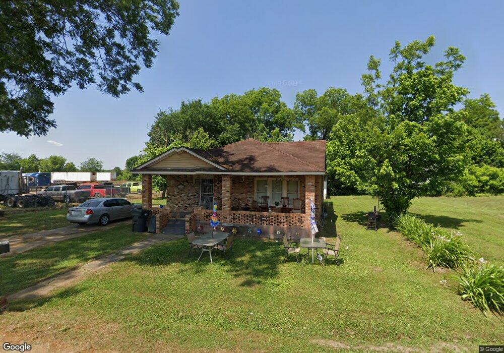
1275 Gwynn Rd Nesbit, MS 38651
Estimated Value: $217,000 - $220,000
2
Beds
1
Bath
1,100
Sq Ft
$199/Sq Ft
Est. Value
About This Home
This home is located at 1275 Gwynn Rd, Nesbit, MS 38651 and is currently estimated at $218,500, approximately $198 per square foot. 1275 Gwynn Rd is a home located in DeSoto County with nearby schools including Oak Grove Central Elementary School, Hernando Hills Elementary, and Hernando Elementary School.
Ownership History
Date
Name
Owned For
Owner Type
Purchase Details
Closed on
May 6, 2023
Sold by
T & H Llc
Bought by
Lamb Construction And Equipment Service Llc
Current Estimated Value
Purchase Details
Closed on
Jul 18, 2018
Sold by
Nabors Dale E
Bought by
T & H Llc
Home Financials for this Owner
Home Financials are based on the most recent Mortgage that was taken out on this home.
Original Mortgage
$81,717
Interest Rate
4.5%
Mortgage Type
Commercial
Purchase Details
Closed on
Jan 28, 2005
Sold by
Williams Emma L and Jackson Earlean W
Bought by
Nabors Dale E and Nabors Samantha E
Create a Home Valuation Report for This Property
The Home Valuation Report is an in-depth analysis detailing your home's value as well as a comparison with similar homes in the area
Home Values in the Area
Average Home Value in this Area
Purchase History
| Date | Buyer | Sale Price | Title Company |
|---|---|---|---|
| Lamb Construction And Equipment Service Llc | -- | None Listed On Document | |
| Lamb Construction And Equipment Service Llc | -- | None Listed On Document | |
| T & H Llc | -- | None Available | |
| Nabors Dale E | -- | None Available |
Source: Public Records
Mortgage History
| Date | Status | Borrower | Loan Amount |
|---|---|---|---|
| Previous Owner | T & H Llc | $81,717 |
Source: Public Records
Tax History
| Year | Tax Paid | Tax Assessment Tax Assessment Total Assessment is a certain percentage of the fair market value that is determined by local assessors to be the total taxable value of land and additions on the property. | Land | Improvement |
|---|---|---|---|---|
| 2025 | $948 | $8,139 | $1,500 | $6,639 |
| 2024 | $851 | $6,132 | $1,500 | $4,632 |
| 2023 | $851 | $6,132 | $0 | $0 |
| 2022 | $851 | $6,132 | $1,500 | $4,632 |
| 2021 | $851 | $6,132 | $1,500 | $4,632 |
| 2020 | $799 | $5,762 | $1,500 | $4,262 |
| 2019 | $799 | $5,762 | $1,500 | $4,262 |
| 2017 | $769 | $9,532 | $5,516 | $4,016 |
| 2016 | $737 | $5,516 | $1,500 | $4,016 |
| 2015 | $737 | $9,532 | $5,516 | $4,016 |
| 2014 | $720 | $5,516 | $0 | $0 |
| 2013 | $720 | $5,516 | $0 | $0 |
Source: Public Records
Map
Nearby Homes
- 1620 Gwynn Rd
- 1547 Breckenridge Dr
- 1009 Collie Dr
- 956 Collie Dr
- 944 Collie Dr
- 932 Collie Dr
- 1802 Millers Cove
- 896 Andys Way
- 0 Highway 51 Unit 2319030
- 1948 Ava Dr
- 630 Millers Way
- 0 Old Highway 51 N Unit 4141927
- 0 U S Highway 51
- 834 Rodeo Way
- 0 Jackson Rd
- 1209 Flint Lock Cove
- 00 Hwy 51 N State White Oak St
- 0 Highway 51 N
- 193 Crockett Loop E
- 502 Bolivar Dr
- 1485 Gwynn Rd
- 1440 Gwynn Rd
- 1460 Gwynn Rd
- 999 Dean Rd
- 3 Whitney Rd
- 100 Gwynn Rd
- Lot #25 Dean Heights S D
- 0 Dean Rd Unit 2249546
- 0 Dean Rd Unit 2223717
- 0 Dean Rd Unit 2201159
- 0 Dean Rd Unit 2237797
- 0 Dean Rd Unit 2213383
- 0 Dean Rd Unit 4073295
- 0 Dean Rd Unit 4060464
- 0 Dean Rd Unit 2261192
- 0 Dean Rd Unit 2267039
- 31 Dean Rd
- 0 Dean Rd Unit 2290950
- 789 Dean Rd
- 1160 Dean Rd
Your Personal Tour Guide
Ask me questions while you tour the home.