Estimated Value: $428,000 - $689,148
2
Beds
1
Bath
1,085
Sq Ft
$528/Sq Ft
Est. Value
About This Home
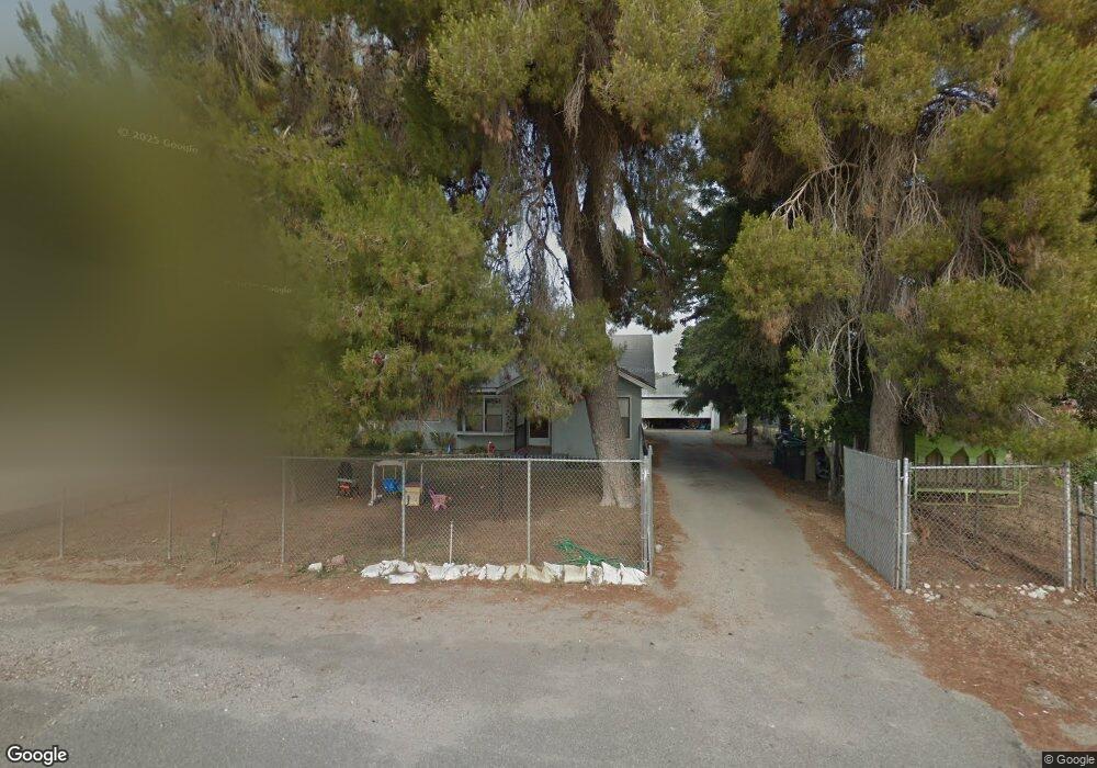
This home is located at 1275 N Sanderson Ave, Hemet, CA 92545 and is currently estimated at $572,787, approximately $527 per square foot. 1275 N Sanderson Ave is a home located in Riverside County with nearby schools including Cawston Elementary School, Rancho Viejo Middle School, and Tahquitz High School.
Ownership History
Date
Name
Owned For
Owner Type
Purchase Details
Closed on
Jul 5, 2017
Sold by
Campbell Robert A
Bought by
Campbell Sher Hung
Current Estimated Value
Purchase Details
Closed on
Jul 8, 2004
Sold by
Duffy Neal E and Duffy Roberta N
Bought by
Campbell Robert A and Campbell Hsueher Hung
Home Financials for this Owner
Home Financials are based on the most recent Mortgage that was taken out on this home.
Original Mortgage
$280,000
Outstanding Balance
$133,243
Interest Rate
5.5%
Mortgage Type
Purchase Money Mortgage
Estimated Equity
$439,544
Create a Home Valuation Report for This Property
The Home Valuation Report is an in-depth analysis detailing your home's value as well as a comparison with similar homes in the area
Home Values in the Area
Average Home Value in this Area
Purchase History
| Date | Buyer | Sale Price | Title Company |
|---|---|---|---|
| Campbell Sher Hung | -- | None Available | |
| Campbell Robert A | $475,000 | Chicago Title Co |
Source: Public Records
Mortgage History
| Date | Status | Borrower | Loan Amount |
|---|---|---|---|
| Open | Campbell Robert A | $280,000 |
Source: Public Records
Tax History Compared to Growth
Tax History
| Year | Tax Paid | Tax Assessment Tax Assessment Total Assessment is a certain percentage of the fair market value that is determined by local assessors to be the total taxable value of land and additions on the property. | Land | Improvement |
|---|---|---|---|---|
| 2025 | $7,406 | $662,009 | $168,485 | $493,524 |
| 2023 | $7,406 | $636,305 | $161,944 | $474,361 |
| 2022 | $7,165 | $623,829 | $158,769 | $465,060 |
| 2021 | $7,046 | $611,598 | $155,656 | $455,942 |
| 2020 | $6,947 | $605,327 | $154,060 | $451,267 |
| 2019 | $6,794 | $593,459 | $151,040 | $442,419 |
| 2018 | $6,581 | $581,824 | $148,079 | $433,745 |
| 2017 | $6,502 | $570,417 | $145,176 | $425,241 |
| 2016 | $6,454 | $559,233 | $142,330 | $416,903 |
Source: Public Records
Map
Nearby Homes
- 1245 Auburn St
- 1053 Indiangrass Dr
- 1151 Tori Dr
- 1060 Saltbush Ln
- 3141 Christianne Cir
- 1048 Paintbrush Trail
- 2096 Wild Thyme Place
- 3070 Sherry Dr
- 3060 Sherry Dr
- 3455 Sugar Maple Ct
- 1982 Connor Ln
- 1981 Connor Ln
- 3831 Wild Sienna Trail
- 1977 Connor Ln
- 1966 El Milagro Rd
- Residence 1 Plan at Kirby Estates
- Residence 3 Plan at Kirby Estates
- Residence 2 Plan at Kirby Estates
- 1957 El Milagro Rd
- 1939 El Milagro Rd
- 3364 Catalina Ave
- 1301 N Sanderson Ave
- 3384 Catalina Ave
- 1270 Hollister Ln
- 3414 Catalina Ave
- 3434 Catalina Ave
- 1285 Auburn St
- 1256 Hollister Ln
- 1275 Auburn St
- 3379 Catalina Ave
- 3454 Catalina Ave
- 3236 Linder St
- 3409 Catalina Ave
- 1240 Hollister Ln
- 1265 Auburn St
- 3429 Catalina Ave
- 3474 Catalina Ave
- 3216 Linder St
- 3384 Coronado Ave
- 1226 Hollister Ln