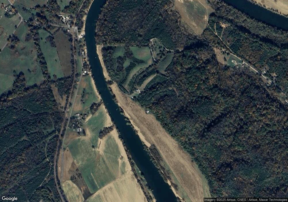
1275 Old Solomon Ferry Rd Newport, TN 37821
Estimated Value: $373,000 - $429,318
--
Bed
2
Baths
1,862
Sq Ft
$214/Sq Ft
Est. Value
About This Home
This home is located at 1275 Old Solomon Ferry Rd, Newport, TN 37821 and is currently estimated at $398,580, approximately $214 per square foot. 1275 Old Solomon Ferry Rd is a home located in Cocke County with nearby schools including Centerview Elementary School and Cocke County High School.
Ownership History
Date
Name
Owned For
Owner Type
Purchase Details
Closed on
Nov 29, 2017
Sold by
Jacobs Doris J
Bought by
Burns Tyonia S
Current Estimated Value
Home Financials for this Owner
Home Financials are based on the most recent Mortgage that was taken out on this home.
Original Mortgage
$148,750
Outstanding Balance
$82,811
Interest Rate
3.94%
Mortgage Type
Unknown
Estimated Equity
$315,769
Purchase Details
Closed on
May 22, 2017
Sold by
Jacobs Doris J
Bought by
Burns Tyonia Sue
Create a Home Valuation Report for This Property
The Home Valuation Report is an in-depth analysis detailing your home's value as well as a comparison with similar homes in the area
Home Values in the Area
Average Home Value in this Area
Purchase History
| Date | Buyer | Sale Price | Title Company |
|---|---|---|---|
| Burns Tyonia S | $175,000 | None Available | |
| Burns Tyonia Sue | $15,386 | -- |
Source: Public Records
Mortgage History
| Date | Status | Borrower | Loan Amount |
|---|---|---|---|
| Open | Burns Tyonia S | $148,750 |
Source: Public Records
Tax History Compared to Growth
Tax History
| Year | Tax Paid | Tax Assessment Tax Assessment Total Assessment is a certain percentage of the fair market value that is determined by local assessors to be the total taxable value of land and additions on the property. | Land | Improvement |
|---|---|---|---|---|
| 2024 | $767 | $55,875 | $23,375 | $32,500 |
| 2023 | $767 | $29,950 | $23,375 | $6,575 |
| 2022 | $768 | $29,950 | $23,375 | $6,575 |
| 2021 | $938 | $29,950 | $23,375 | $6,575 |
| 2020 | $938 | $36,575 | $24,750 | $11,825 |
| 2019 | $1,003 | $35,425 | $23,925 | $11,500 |
| 2018 | $1,003 | $35,425 | $23,925 | $11,500 |
| 2017 | $1,027 | $35,425 | $23,925 | $11,500 |
| 2016 | $878 | $35,425 | $23,925 | $11,500 |
| 2015 | $752 | $33,925 | $23,925 | $10,000 |
| 2014 | $752 | $33,925 | $23,925 | $10,000 |
| 2013 | $752 | $31,350 | $20,625 | $10,725 |
Source: Public Records
Map
Nearby Homes
- 5972 Leepers Ferry Rd
- 3582 Baker Springs Rd
- 5715 Fishing Rod Ln
- 1570 River Path
- 0 Old White Pine Rd
- 1558 River Path
- 1540 River Path
- 1559 River Path
- 1555 River Path Unit 36
- 1555 River Path
- 5704 Long Creek Rd
- 3451 Baker Springs Rd
- 1516 River Path
- 215 Songbird Way
- 216 Songbird Way
- 210 Songbird Way
- 1515 River Path Unit 46
- 1515 River Path
- 1509 River Path
- 6059 Leepers Ferry Rd
- 6043 Leepers Ferry Rd
- 6037 Leepers Ferry Rd
- 6031 Leepers Ferry Rd
- 1245 Old Solomon Ferry Rd
- 5984 Leepers Ferry Rd
- 1237 Old Solomon Ferry Rd
- 6085 Leepers Ferry Rd
- 6175 Leepers Ferry Rd
- 1032 River Rd
- 1178 River Rd
- 1180 River Rd
- 1111 River Rd
- 5941 Keller Rd
- 1161 River Rd
- 1175 River Rd
- 1131 River Rd
- 1224 River Rd
- 1215 River Rd
- 5865 Keller Rd
