Estimated Value: $360,648 - $402,000
4
Beds
2
Baths
3,240
Sq Ft
$118/Sq Ft
Est. Value
About This Home
This home is located at 1275 Wigton Rd, Lucas, OH 44843 and is currently estimated at $381,324, approximately $117 per square foot. 1275 Wigton Rd is a home located in Richland County with nearby schools including Lucas Elementary School, Lucas Heritage Middle School, and Lucas High School.
Ownership History
Date
Name
Owned For
Owner Type
Purchase Details
Closed on
Feb 24, 2006
Sold by
Evans Arlene L
Bought by
Anschutz Douglas H and Anschutz Kelly R
Current Estimated Value
Home Financials for this Owner
Home Financials are based on the most recent Mortgage that was taken out on this home.
Original Mortgage
$175,500
Outstanding Balance
$96,707
Interest Rate
5.75%
Mortgage Type
Fannie Mae Freddie Mac
Estimated Equity
$284,617
Create a Home Valuation Report for This Property
The Home Valuation Report is an in-depth analysis detailing your home's value as well as a comparison with similar homes in the area
Home Values in the Area
Average Home Value in this Area
Purchase History
| Date | Buyer | Sale Price | Title Company |
|---|---|---|---|
| Anschutz Douglas H | $195,000 | Chicago Title |
Source: Public Records
Mortgage History
| Date | Status | Borrower | Loan Amount |
|---|---|---|---|
| Open | Anschutz Douglas H | $175,500 |
Source: Public Records
Tax History Compared to Growth
Tax History
| Year | Tax Paid | Tax Assessment Tax Assessment Total Assessment is a certain percentage of the fair market value that is determined by local assessors to be the total taxable value of land and additions on the property. | Land | Improvement |
|---|---|---|---|---|
| 2024 | $3,642 | $86,580 | $16,540 | $70,040 |
| 2023 | $3,642 | $86,580 | $16,540 | $70,040 |
| 2022 | $3,323 | $70,510 | $14,780 | $55,730 |
| 2021 | $3,330 | $70,510 | $14,780 | $55,730 |
| 2020 | $3,384 | $70,510 | $14,780 | $55,730 |
| 2019 | $3,092 | $60,540 | $12,530 | $48,010 |
| 2018 | $3,182 | $60,540 | $12,530 | $48,010 |
| 2017 | $3,204 | $60,540 | $12,530 | $48,010 |
| 2016 | $3,327 | $63,750 | $11,390 | $52,360 |
| 2015 | $3,327 | $63,750 | $11,390 | $52,360 |
| 2014 | $3,343 | $63,750 | $11,390 | $52,360 |
| 2012 | $1,646 | $63,750 | $11,390 | $52,360 |
Source: Public Records
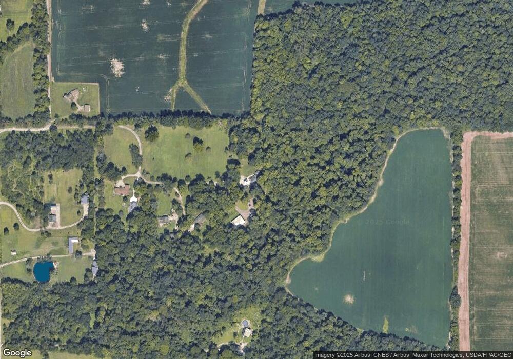
Map
Nearby Homes
- 174 W Main St
- 27 E Main St
- 0 Mount Zion Rd Unit 9069748
- 0 Moffett Rd
- 1679 Pulver Rd
- 0 Peterson Rd
- 0 State Route 39 & I-71 Northeast Quadrant
- 0 State Route 39 & I-71 Southeast Quadrant
- 929 Antionette Dr
- 0 McBride Road Parcel # 1 Unit 9066028
- 2750 Lutz Ave
- 1875 Mansfield Lucas Rd
- 76 Ford Rd N
- 0 Mcelroy Rd
- 2061 Washington North Rd
- 155 Ford Rd N Unit Lot 30
- 155 Ford Rd N
- 598 Impala Dr
- 1135 E Hanley Rd
- 2364 Satinwood Dr
- 1263 Wigton Rd
- 1363 Wigton Rd
- 1257 Wigton Rd
- 1251 Wigton Rd
- 1317 Wigton Rd
- 1291 Wigton Rd
- 1397 Wigton Rd
- 1211 Wigton Rd
- 0 Wigton Rd
- 1138 Wigton Rd
- 1421 Wigton Rd
- 1350 Wigton Rd
- 1286 Wigton Rd
- 2629 Kerr Rd
- 1101 Wigton Rd
- 1130 Wigton Rd
- 1296 Wigton Rd
- 1400 Wigton Rd
- 2595 Kerr Rd
- 2565 Kerr Rd Unit 2567