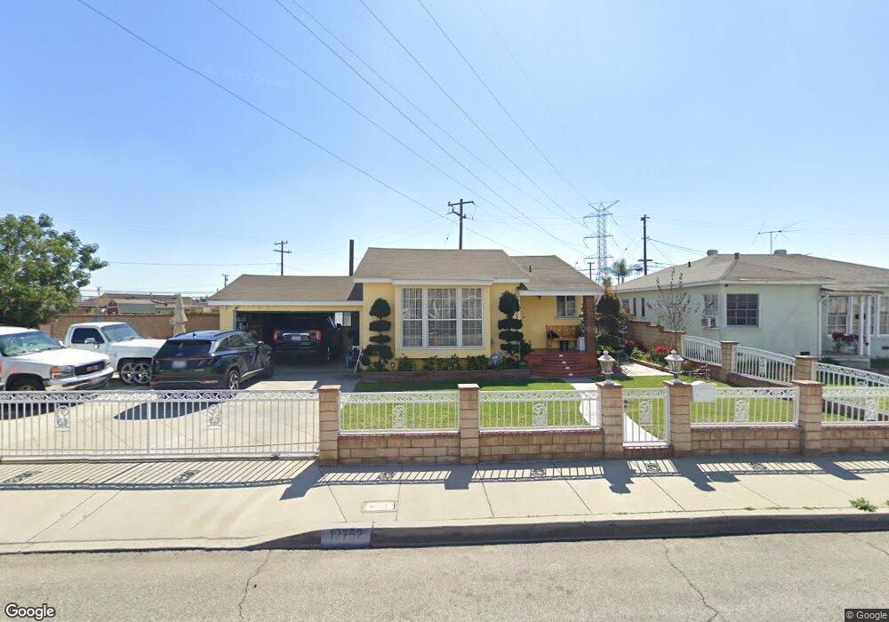
12752 Ledford St Baldwin Park, CA 91706
Estimated Value: $702,000 - $749,000
4
Beds
2
Baths
1,096
Sq Ft
$660/Sq Ft
Est. Value
About This Home
This home is located at 12752 Ledford St, Baldwin Park, CA 91706 and is currently estimated at $723,444, approximately $660 per square foot. 12752 Ledford St is a home located in Los Angeles County with nearby schools including De Anza Elementary, Sierra Vista Middle School, and Sierra Vista High.
Ownership History
Date
Name
Owned For
Owner Type
Purchase Details
Closed on
May 21, 2021
Sold by
Deloera Roberto and Deloera Irma Patricia
Bought by
De Loera Living Trust and De Loera
Current Estimated Value
Purchase Details
Closed on
Feb 21, 2001
Sold by
Quiroz Pedro C and Quiroz Josefa A
Bought by
Deloera Roberto
Home Financials for this Owner
Home Financials are based on the most recent Mortgage that was taken out on this home.
Original Mortgage
$157,528
Interest Rate
6.97%
Mortgage Type
FHA
Create a Home Valuation Report for This Property
The Home Valuation Report is an in-depth analysis detailing your home's value as well as a comparison with similar homes in the area
Home Values in the Area
Average Home Value in this Area
Purchase History
| Date | Buyer | Sale Price | Title Company |
|---|---|---|---|
| De Loera Living Trust | -- | None Listed On Document | |
| Deloera Roberto | $160,000 | Landsafe Title |
Source: Public Records
Mortgage History
| Date | Status | Borrower | Loan Amount |
|---|---|---|---|
| Previous Owner | Deloera Roberto | $157,528 |
Source: Public Records
Tax History Compared to Growth
Tax History
| Year | Tax Paid | Tax Assessment Tax Assessment Total Assessment is a certain percentage of the fair market value that is determined by local assessors to be the total taxable value of land and additions on the property. | Land | Improvement |
|---|---|---|---|---|
| 2025 | $3,381 | $241,070 | $154,439 | $86,631 |
| 2024 | $3,381 | $236,344 | $151,411 | $84,933 |
| 2023 | $3,345 | $231,711 | $148,443 | $83,268 |
| 2022 | $3,400 | $227,169 | $145,533 | $81,636 |
| 2021 | $3,348 | $222,716 | $142,680 | $80,036 |
| 2020 | $3,340 | $220,433 | $141,217 | $79,216 |
| 2019 | $3,154 | $216,112 | $138,449 | $77,663 |
| 2018 | $2,945 | $211,876 | $135,735 | $76,141 |
| 2016 | $2,770 | $203,651 | $130,465 | $73,186 |
| 2015 | $2,841 | $200,593 | $128,506 | $72,087 |
| 2014 | $2,805 | $196,664 | $125,989 | $70,675 |
Source: Public Records
Map
Nearby Homes
- 12828 Hensel St
- 765 Frazier St
- 3220 Syracuse Ave
- 12944 Bess Ave
- 12557 Pinehurst St
- 3160 Athol St
- 12703 Fairgrove Ave
- 3903 Gilman Rd
- 3452 Durfee Ave
- 13120 Dart St Unit E
- 3855 Gilman Rd
- 3443 Syracuse Ave
- 2720 2724 Durfee Ave
- 3840 Durfee Ave
- 3109 Robinette Ave
- 3717 Durfee Ave
- 12432 Valley Blvd
- 3425 Athol St
- 3920 Maxson Rd Unit B
- 12132 Ferris Rd
- 12748 Ledford St
- 12742 Ledford St
- 12749 Hensel St
- 12751 Ledford St
- 12757 Ledford St
- 12743 Hensel St
- 12738 Ledford St
- 12745 Ledford St
- 12763 Ledford St
- 629 Westcott Ave
- 12741 Ledford St
- 635 Westcott Ave
- 623 Westcott Ave
- 12732 Ledford St
- 645 Westcott Ave
- 12739 Hensel St
- 12735 Ledford St
- 617 Westcott Ave
- 12746 Valens St
- 12714 Dalewood St