12756 Vincent Dr Mantua, OH 44255
Estimated Value: $151,000 - $177,150
2
Beds
1
Bath
1,216
Sq Ft
$137/Sq Ft
Est. Value
About This Home
This home is located at 12756 Vincent Dr, Mantua, OH 44255 and is currently estimated at $166,788, approximately $137 per square foot. 12756 Vincent Dr is a home located in Portage County with nearby schools including Crestwood Primary School, Crestwood Intermediate School, and Crestwood Middle School.
Ownership History
Date
Name
Owned For
Owner Type
Purchase Details
Closed on
May 18, 2006
Sold by
Vasbinder William R and Vasbinder Gertrude A
Bought by
Braden Rodney W
Current Estimated Value
Home Financials for this Owner
Home Financials are based on the most recent Mortgage that was taken out on this home.
Original Mortgage
$85,000
Outstanding Balance
$49,957
Interest Rate
6.66%
Mortgage Type
Purchase Money Mortgage
Estimated Equity
$116,831
Purchase Details
Closed on
Jan 1, 1990
Bought by
Vasbinder William R
Create a Home Valuation Report for This Property
The Home Valuation Report is an in-depth analysis detailing your home's value as well as a comparison with similar homes in the area
Home Values in the Area
Average Home Value in this Area
Purchase History
| Date | Buyer | Sale Price | Title Company |
|---|---|---|---|
| Braden Rodney W | $85,000 | Aurora Title | |
| Vasbinder William R | -- | -- |
Source: Public Records
Mortgage History
| Date | Status | Borrower | Loan Amount |
|---|---|---|---|
| Open | Braden Rodney W | $85,000 |
Source: Public Records
Tax History Compared to Growth
Tax History
| Year | Tax Paid | Tax Assessment Tax Assessment Total Assessment is a certain percentage of the fair market value that is determined by local assessors to be the total taxable value of land and additions on the property. | Land | Improvement |
|---|---|---|---|---|
| 2024 | $2,196 | $54,780 | $8,540 | $46,240 |
| 2023 | $1,888 | $40,150 | $7,490 | $32,660 |
| 2022 | $1,802 | $40,150 | $7,490 | $32,660 |
| 2021 | $1,802 | $40,150 | $7,490 | $32,660 |
| 2020 | $1,689 | $35,630 | $7,490 | $28,140 |
| 2019 | $1,664 | $35,630 | $7,490 | $28,140 |
| 2018 | $1,563 | $32,480 | $7,490 | $24,990 |
| 2017 | $1,563 | $32,480 | $7,490 | $24,990 |
| 2016 | $1,531 | $32,480 | $7,490 | $24,990 |
| 2015 | $1,562 | $32,480 | $7,490 | $24,990 |
| 2014 | $1,594 | $32,480 | $7,490 | $24,990 |
| 2013 | $1,578 | $32,480 | $7,490 | $24,990 |
Source: Public Records
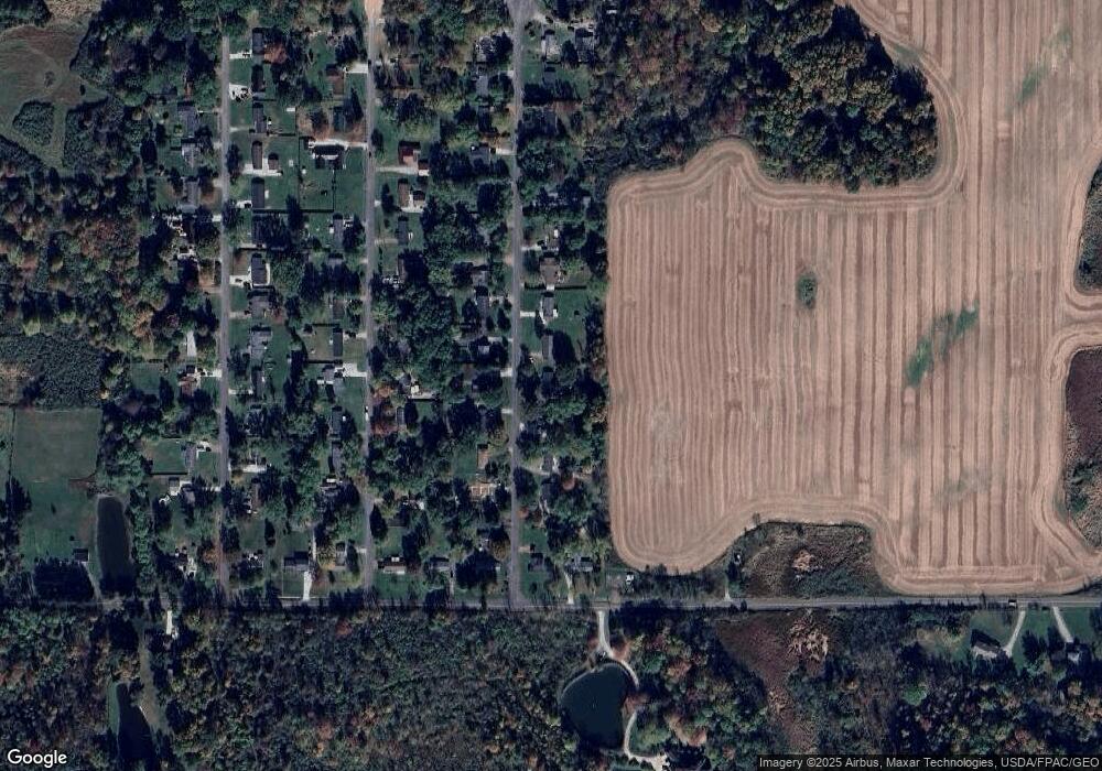
Map
Nearby Homes
- 12845 Vincent Dr
- 3444 Winchell Rd
- 12298 Chamberlain Rd
- 483 Townline Rd
- 290 Townline Rd
- 12167 Mantua Center Rd
- 990 Whisperwood Ln
- 1130 Winchell Rd
- 0 Bartholomew Rd Unit 21957397
- 679 Deep Woods Dr
- 9800 North Blvd
- 9836 Cleveland Dr
- 651 Parker Rd
- 200 Greentree Cir
- 8930 Crackel Rd
- 18420 May Ct
- 831 Meadowbrook Dr
- 11470 Bowen Rd
- 11166 Loris Ave
- 9550 Weathervane Dr
- 12766 Vincent Dr
- 12746 Vincent Dr
- 12776 Vincent Dr
- 12736 Vincent Dr
- 12755 Vincent Dr
- 12765 Vincent Dr
- 12745 Vincent Dr
- 12786 Vincent Dr
- 12775 Vincent Dr
- 12726 Vincent Dr
- 12725 Vincent Dr
- 12785 Vincent Dr
- 12796 Vincent Dr
- 12754 Samuel Dr
- 12764 Samuel Dr
- 12744 Samuel Dr
- 12734 Samuel Dr
- 12774 Samuel Dr
- 12828 Vincent Dr
- 12795 Vincent Dr