12759 Sam Black Rd Midland, NC 28107
Estimated Value: $343,000 - $444,000
3
Beds
2
Baths
1,780
Sq Ft
$221/Sq Ft
Est. Value
About This Home
This home is located at 12759 Sam Black Rd, Midland, NC 28107 and is currently estimated at $393,939, approximately $221 per square foot. 12759 Sam Black Rd is a home located in Cabarrus County with nearby schools including Bethel Elementary School, C.C. Griffin Middle School, and Central Cabarrus High School.
Ownership History
Date
Name
Owned For
Owner Type
Purchase Details
Closed on
Aug 7, 2014
Sold by
Thornton Rita T
Bought by
Cross Larry and Cross Terry T
Current Estimated Value
Home Financials for this Owner
Home Financials are based on the most recent Mortgage that was taken out on this home.
Original Mortgage
$167,475
Outstanding Balance
$128,080
Interest Rate
4.19%
Mortgage Type
VA
Estimated Equity
$265,859
Purchase Details
Closed on
May 17, 2013
Sold by
Thornton Rita T
Bought by
Little Henry Trent
Purchase Details
Closed on
Apr 29, 2013
Sold by
Thornton Richard
Bought by
Thornton Rita T
Purchase Details
Closed on
Apr 29, 2005
Sold by
Mcguirt John J and Mcguirt Patricia M
Bought by
Thornton Richard J and Thornton Rita T
Purchase Details
Closed on
Jul 1, 1987
Purchase Details
Closed on
Dec 1, 1985
Create a Home Valuation Report for This Property
The Home Valuation Report is an in-depth analysis detailing your home's value as well as a comparison with similar homes in the area
Home Values in the Area
Average Home Value in this Area
Purchase History
| Date | Buyer | Sale Price | Title Company |
|---|---|---|---|
| Cross Larry | $175,000 | None Available | |
| Little Henry Trent | -- | None Available | |
| Thornton Rita T | -- | None Available | |
| Thornton Rita T | -- | None Available | |
| Thornton Richard J | $202,000 | -- | |
| -- | $75,000 | -- | |
| -- | $62,000 | -- |
Source: Public Records
Mortgage History
| Date | Status | Borrower | Loan Amount |
|---|---|---|---|
| Open | Cross Larry | $167,475 |
Source: Public Records
Tax History Compared to Growth
Tax History
| Year | Tax Paid | Tax Assessment Tax Assessment Total Assessment is a certain percentage of the fair market value that is determined by local assessors to be the total taxable value of land and additions on the property. | Land | Improvement |
|---|---|---|---|---|
| 2025 | $2,290 | $338,750 | $60,080 | $278,670 |
| 2024 | $2,290 | $338,750 | $60,080 | $278,670 |
| 2023 | $1,654 | $196,890 | $30,040 | $166,850 |
| 2022 | $1,654 | $196,890 | $30,040 | $166,850 |
| 2021 | $1,654 | $196,890 | $30,040 | $166,850 |
| 2020 | $1,654 | $196,890 | $30,040 | $166,850 |
| 2019 | $1,519 | $180,870 | $33,200 | $147,670 |
| 2018 | $1,447 | $180,870 | $33,200 | $147,670 |
| 2017 | $1,411 | $180,870 | $33,200 | $147,670 |
| 2016 | $1,411 | $131,170 | $41,110 | $90,060 |
| 2015 | $980 | $127,880 | $41,110 | $86,770 |
| 2014 | $980 | $127,880 | $41,110 | $86,770 |
Source: Public Records
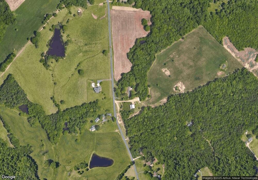
Map
Nearby Homes
- 2224 Pope Rd
- 13221 Brandywine Ln
- 11855 Sam Black Rd
- 12467 Ritchie Rd
- 11500 Beagle St
- 12350 Hartwood Rd
- 12617 Hill Pine Rd
- 12639 Hill Pine Rd
- 0 Troutman Rd
- 3327 Flagler Cir
- 3419 Brickyard Ln
- 3228 Maya Ln
- 3359 Flagler Cir
- 12611 Forager Place
- 12591 Forager Place
- Plan 2338 Modeled at Midland Crossing
- Plan 2177 at Midland Crossing
- Plan 3147 at Midland Crossing
- Plan 2074 at Midland Crossing
- Plan 1445 at Midland Crossing
- 12770 Sam Black Rd
- 12800 Sam Black Rd
- 12901 Sam Black Rd
- 12875 Sam Black Rd
- 12650 Sam Black Rd
- 12889 Sam Black Rd
- 12509 Sam Black Rd
- 12933 Sam Black Rd
- 12933 Sam Black Rd
- 12400 Sam Black Rd
- 13049 Sam Black Rd
- 12883 Sam Black Rd
- 12901 Lanecrest Rd
- 13064 Sam Black Rd
- 13056 Cabarrus Station Rd
- 13089 Sam Black Rd
- 13000 Lanecrest Rd
- 13040 Cabarrus Station Rd
- 13036 Cabarrus Station Rd
- 13001 Lanecrest Rd