1276 Simpson Highway 540 Mendenhall, MS 39114
Estimated Value: $234,000 - $446,000
--
Bed
--
Bath
1,544
Sq Ft
$214/Sq Ft
Est. Value
About This Home
This home is located at 1276 Simpson Highway 540, Mendenhall, MS 39114 and is currently estimated at $330,740, approximately $214 per square foot. 1276 Simpson Highway 540 is a home located in Simpson County with nearby schools including Mendenhall Elementary School, Mendenhall Junior High School, and Mendenhall High School.
Ownership History
Date
Name
Owned For
Owner Type
Purchase Details
Closed on
Sep 6, 2024
Sold by
Buller Evelyn and Buller Eldon
Bought by
Buller Sarah Vanessa
Current Estimated Value
Purchase Details
Closed on
Mar 4, 2024
Sold by
Crotwell Leslie Chance
Bought by
Buller Evelyn and Buller Eldon
Purchase Details
Closed on
Sep 12, 2022
Sold by
Sarah Chance
Bought by
Crotwell Leslie Chance
Purchase Details
Closed on
Apr 8, 2021
Sold by
Black Neta
Bought by
Chance Sarah
Create a Home Valuation Report for This Property
The Home Valuation Report is an in-depth analysis detailing your home's value as well as a comparison with similar homes in the area
Home Values in the Area
Average Home Value in this Area
Purchase History
| Date | Buyer | Sale Price | Title Company |
|---|---|---|---|
| Buller Sarah Vanessa | -- | None Listed On Document | |
| Buller Evelyn | -- | None Listed On Document | |
| Buller Evelyn | -- | None Listed On Document | |
| Crotwell Leslie Chance | -- | -- | |
| Crotwell Leslie Chance | -- | None Listed On Document | |
| Chance Sarah | -- | None Available |
Source: Public Records
Tax History Compared to Growth
Tax History
| Year | Tax Paid | Tax Assessment Tax Assessment Total Assessment is a certain percentage of the fair market value that is determined by local assessors to be the total taxable value of land and additions on the property. | Land | Improvement |
|---|---|---|---|---|
| 2024 | $1,940 | $19,675 | $0 | $0 |
| 2023 | $1,940 | $19,024 | $0 | $0 |
| 2022 | $1,280 | $19,117 | $0 | $0 |
| 2021 | $1,921 | $19,152 | $0 | $0 |
| 2020 | $1,772 | $17,775 | $0 | $0 |
| 2019 | $1,718 | $18,025 | $0 | $0 |
| 2018 | $1,722 | $18,061 | $0 | $0 |
| 2017 | $1,718 | $18,022 | $0 | $0 |
| 2016 | $1,620 | $17,769 | $0 | $0 |
| 2015 | $1,550 | $17,685 | $0 | $0 |
| 2014 | $1,543 | $17,612 | $0 | $0 |
Source: Public Records
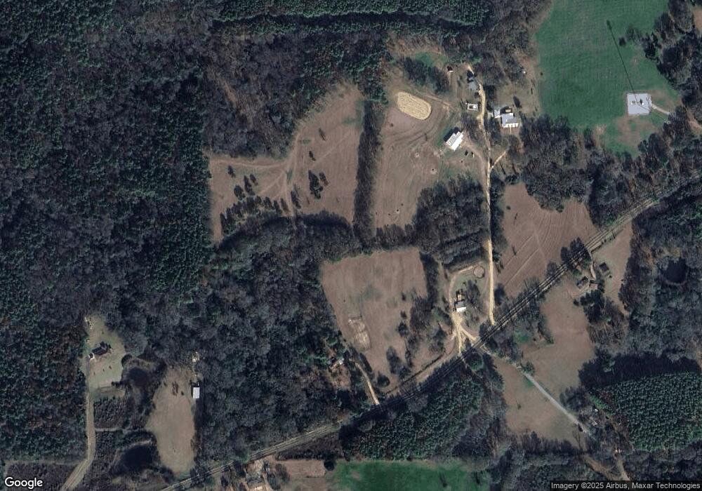
Map
Nearby Homes
- 1912 Poplar Springs Rd
- 0 Layton Jones Rd
- 00 Kiley Bailey Rd Unit Parcel 12
- 00 Kiley Bailey Rd Unit Parcel 11
- 00 Kiley Bailey Rd Unit Parcel 10
- 00 Kiley Bailey Rd Unit Parcel 9
- 00 Kiley Bailey Rd Unit Parcel 8
- 00 Kiley Bailey Rd Unit Parcel 7
- 193 Blackwell Rd
- 0 R T Womack Rd Unit 4120704
- 0 Mississippi 540
- 242 Dan George Rd
- 0 Poplar Springs Rd Unit 11538171
- 250 Everett Church Rd
- 250 - 274 Everett Church Rd
- 274 Everett Church Rd
- 825 Poplar Springs Rd
- 2200 Highway 541 None
- 115 Laurelwood Trail Rd
- 1321 Simpson Highway 540
- 136 Coyote Ln
- 124 Jack Davis Rd
- 205 Kiley Welch Rd
- 1251 Simpson Highway 540
- 1226 Simpson Highway 540
- 1242 Simpson Highway 540
- 166 Kiley Welch Rd
- 127 Layton and Jones Rd
- 1398 Simpson Highway 540
- 122 Layton and Jones Rd
- 000 Blackwell Rd
- 2889 Highway 541 N
- 1195 Simpson Highway 540
- 214 Jack Davis Rd
- 139 Cedar Rd
- 123 Cedar Rd
- 221 Jack Davis Rd
- 197 Layton and Jones Rd
- 2936 Highway 541 N