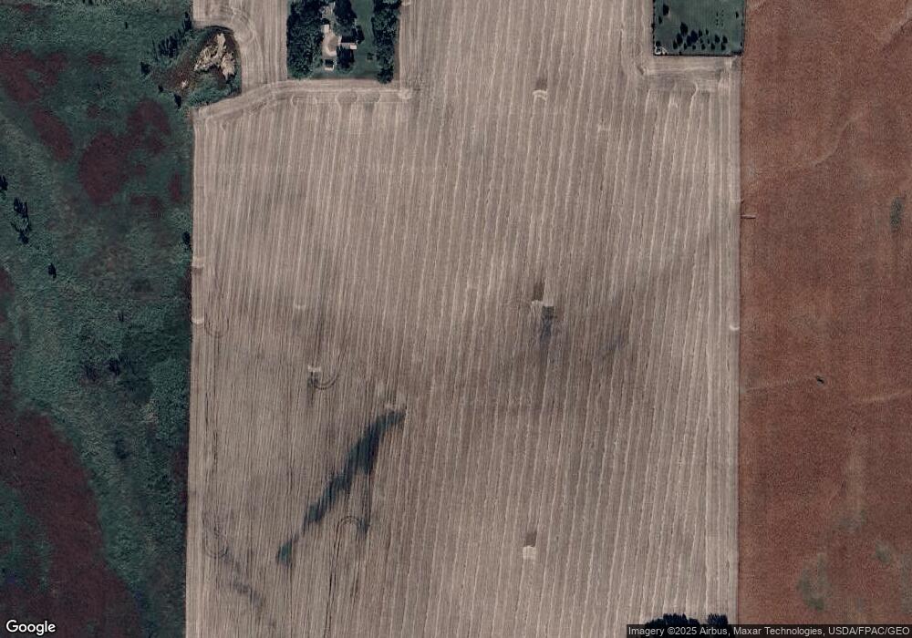
12769 180th St Hutchinson, MN 55350
Estimated Value: $351,000 - $426,417
3
Beds
2
Baths
1,939
Sq Ft
$200/Sq Ft
Est. Value
About This Home
This home is located at 12769 180th St, Hutchinson, MN 55350 and is currently estimated at $388,709, approximately $200 per square foot. 12769 180th St is a home located in McLeod County with nearby schools including Lincoln Elementary School, Lakeside Elementary School, and Glencoe-Silver Lake Jr. High School.
Ownership History
Date
Name
Owned For
Owner Type
Purchase Details
Closed on
Jun 12, 2019
Sold by
Krych Joshua J and Krych Lori B
Bought by
Peterson Jeremiah S and Peteson Carissa L
Current Estimated Value
Home Financials for this Owner
Home Financials are based on the most recent Mortgage that was taken out on this home.
Original Mortgage
$257,050
Outstanding Balance
$226,010
Interest Rate
4.1%
Mortgage Type
New Conventional
Estimated Equity
$162,699
Create a Home Valuation Report for This Property
The Home Valuation Report is an in-depth analysis detailing your home's value as well as a comparison with similar homes in the area
Home Values in the Area
Average Home Value in this Area
Purchase History
| Date | Buyer | Sale Price | Title Company |
|---|---|---|---|
| Peterson Jeremiah S | $265,000 | Title Mark Hutchinson |
Source: Public Records
Mortgage History
| Date | Status | Borrower | Loan Amount |
|---|---|---|---|
| Open | Peterson Jeremiah S | $257,050 |
Source: Public Records
Tax History Compared to Growth
Tax History
| Year | Tax Paid | Tax Assessment Tax Assessment Total Assessment is a certain percentage of the fair market value that is determined by local assessors to be the total taxable value of land and additions on the property. | Land | Improvement |
|---|---|---|---|---|
| 2024 | $1,870 | $258,900 | $118,700 | $140,200 |
| 2023 | $1,900 | $258,900 | $118,700 | $140,200 |
| 2022 | $1,490 | $259,900 | $118,700 | $141,200 |
| 2021 | $1,504 | $172,300 | $82,800 | $89,500 |
| 2020 | $1,410 | $170,400 | $82,800 | $87,600 |
| 2019 | $1,294 | $160,000 | $75,200 | $84,800 |
| 2018 | $1,220 | $0 | $0 | $0 |
| 2017 | $1,026 | $0 | $0 | $0 |
| 2016 | $988 | $0 | $0 | $0 |
| 2015 | $858 | $0 | $0 | $0 |
| 2014 | -- | $0 | $0 | $0 |
Source: Public Records
Map
Nearby Homes
- XXX Cr4 Major Ave
- 10536 186th St
- 17566 Ideal Ave
- TBD (XXXX) Century Lane and Main St
- 117 et al Main St W
- 319 Summit Ave
- 208 Cleveland St SE
- 21243 Kale Dr
- 316 Lake Ave N
- 208 Main St E
- 217 Grove Ave N
- XXXX Route 7
- 107 Century Ln
- 213 Century Ln
- XXX Main St
- 17242 Garden Ave
- 1025 5th Ave SE
- 839 Hilltop Dr NE
- 505/515 Hilltop Canyon NE
- 1332 Southfork Dr SE
