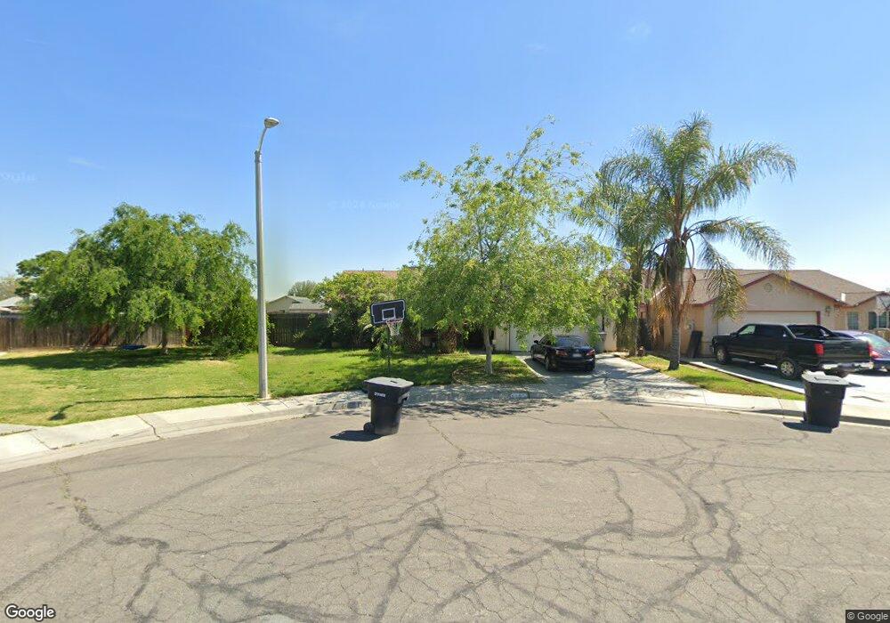
1277 Armstrong Dr Hanford, CA 93230
Estimated Value: $312,000 - $357,067
3
Beds
2
Baths
1,276
Sq Ft
$270/Sq Ft
Est. Value
About This Home
This home is located at 1277 Armstrong Dr, Hanford, CA 93230 and is currently estimated at $344,267, approximately $269 per square foot. 1277 Armstrong Dr is a home located in Kings County with nearby schools including Martin Luther King Jr. Elementary School, Woodrow Wilson Junior High School, and Hanford West High School.
Ownership History
Date
Name
Owned For
Owner Type
Purchase Details
Closed on
Dec 23, 2005
Sold by
Jaime Rafael G and Jaime Claudia
Bought by
Torres Artemio S
Current Estimated Value
Home Financials for this Owner
Home Financials are based on the most recent Mortgage that was taken out on this home.
Original Mortgage
$233,700
Outstanding Balance
$104,218
Interest Rate
3%
Mortgage Type
Fannie Mae Freddie Mac
Estimated Equity
$240,049
Purchase Details
Closed on
Nov 4, 2004
Sold by
Hakkoh Development Inc
Bought by
Jaime Rafael G and Jaime Claudia
Home Financials for this Owner
Home Financials are based on the most recent Mortgage that was taken out on this home.
Original Mortgage
$121,698
Interest Rate
5.79%
Mortgage Type
FHA
Create a Home Valuation Report for This Property
The Home Valuation Report is an in-depth analysis detailing your home's value as well as a comparison with similar homes in the area
Home Values in the Area
Average Home Value in this Area
Purchase History
| Date | Buyer | Sale Price | Title Company |
|---|---|---|---|
| Torres Artemio S | $246,000 | United Independent Title | |
| Jaime Rafael G | $147,000 | Stewart Title Co |
Source: Public Records
Mortgage History
| Date | Status | Borrower | Loan Amount |
|---|---|---|---|
| Open | Torres Artemio S | $233,700 | |
| Previous Owner | Jaime Rafael G | $121,698 | |
| Closed | Jaime Rafael G | $30,000 |
Source: Public Records
Tax History Compared to Growth
Tax History
| Year | Tax Paid | Tax Assessment Tax Assessment Total Assessment is a certain percentage of the fair market value that is determined by local assessors to be the total taxable value of land and additions on the property. | Land | Improvement |
|---|---|---|---|---|
| 2025 | $3,540 | $336,176 | $88,826 | $247,350 |
| 2023 | $3,540 | $323,124 | $85,378 | $237,746 |
| 2022 | $3,461 | $316,789 | $83,704 | $233,085 |
| 2021 | $2,497 | $230,000 | $75,000 | $155,000 |
| 2020 | $2,492 | $225,000 | $70,000 | $155,000 |
| 2019 | $2,160 | $195,000 | $65,000 | $130,000 |
| 2018 | $1,882 | $172,000 | $65,000 | $107,000 |
| 2017 | $1,744 | $159,000 | $65,000 | $94,000 |
| 2016 | $1,578 | $143,325 | $60,000 | $83,325 |
| 2015 | $1,514 | $136,500 | $60,000 | $76,500 |
| 2014 | $1,275 | $115,522 | $30,136 | $85,386 |
Source: Public Records
Map
Nearby Homes
- 1292 Monterey Ave
- 1292 S Monterey Ave
- 1426 W Sidonia St
- 1577 S Barberry Place
- 1577 S Barberry Place Unit Ho53
- 1405 Arthur St
- 1589 S Barberry Place Unit Ho54
- 1240 Washington St
- 1575 Bluejay Cir
- 11071 Hume Ave
- Lot 128 1502 S Autumn Breeze Rd
- 11431 11th Ave
- 1485 S Autumn Breeze Ct Unit Ho61
- 1469 S Autumn Breeze Ct Unit Holl59
- 1523 S Autumn Breeze Ct Unit Holl66
- 1638 Acres Way
- Lot 61 1485 S Autumn Breeze Rd
- 735 Manor Ave
- Lot 63 1501 S Autumn Breeze Rd
- Lot 65 1517 S Autumn Breeze Rd
- 1267 Armstrong Dr
- 1305 Armstrong Dr
- 1266 Armstrong Dr
- 1311 Armstrong Dr
- 1198 W Edison Ct
- 1321 Butternut Dr
- 1290 Armstrong Dr
- 1255 Milpas St
- 1274 Armstrong Dr
- 1273 Milpas St
- 1308 Armstrong Dr
- 1281 Milpas St
- 1209 Milpas St
- 1223 Milpas St
- 1327 Butternut Dr
- 1174 W Edison Ct
- 1316 Armstrong Dr
- 1301 Carmel Way
- 1173 W Edison Ct
- 1301 Pasteur Ct