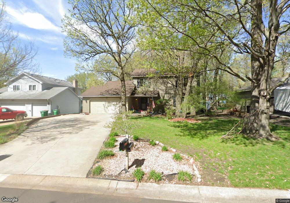
12770 Raven St NW Coon Rapids, MN 55448
Estimated Value: $437,000 - $492,000
4
Beds
3
Baths
1,847
Sq Ft
$247/Sq Ft
Est. Value
About This Home
This home is located at 12770 Raven St NW, Coon Rapids, MN 55448 and is currently estimated at $456,342, approximately $247 per square foot. 12770 Raven St NW is a home located in Anoka County with nearby schools including Lucile Bruner Elementary School, Morris Bye Elementary School, and Laughlin Junior/Senior High School.
Ownership History
Date
Name
Owned For
Owner Type
Purchase Details
Closed on
Jul 30, 2018
Sold by
Santrach Paul and Santrach Shelley
Bought by
Johnsen Rianna Shea and Johnsen Derek William
Current Estimated Value
Home Financials for this Owner
Home Financials are based on the most recent Mortgage that was taken out on this home.
Original Mortgage
$324,022
Outstanding Balance
$282,136
Interest Rate
4.62%
Mortgage Type
FHA
Estimated Equity
$174,206
Create a Home Valuation Report for This Property
The Home Valuation Report is an in-depth analysis detailing your home's value as well as a comparison with similar homes in the area
Home Values in the Area
Average Home Value in this Area
Purchase History
| Date | Buyer | Sale Price | Title Company |
|---|---|---|---|
| Johnsen Rianna Shea | $330,000 | Executive Title |
Source: Public Records
Mortgage History
| Date | Status | Borrower | Loan Amount |
|---|---|---|---|
| Open | Johnsen Rianna Shea | $324,022 |
Source: Public Records
Tax History Compared to Growth
Tax History
| Year | Tax Paid | Tax Assessment Tax Assessment Total Assessment is a certain percentage of the fair market value that is determined by local assessors to be the total taxable value of land and additions on the property. | Land | Improvement |
|---|---|---|---|---|
| 2025 | $4,679 | $422,400 | $90,000 | $332,400 |
| 2024 | $4,679 | $409,800 | $87,000 | $322,800 |
| 2023 | $4,450 | $411,600 | $72,000 | $339,600 |
| 2022 | $3,875 | $419,200 | $72,000 | $347,200 |
| 2021 | $3,475 | $322,500 | $56,000 | $266,500 |
| 2020 | $3,823 | $308,100 | $56,000 | $252,100 |
| 2019 | $3,594 | $309,000 | $56,000 | $253,000 |
| 2018 | $3,486 | $296,300 | $0 | $0 |
| 2017 | $3,118 | $279,400 | $0 | $0 |
| 2016 | $3,192 | $248,000 | $0 | $0 |
| 2015 | $3,105 | $248,000 | $50,000 | $198,000 |
| 2014 | -- | $209,700 | $35,400 | $174,300 |
Source: Public Records
Map
Nearby Homes
- 12760 Raven St NW
- 2147 125th Ln NW
- 12888 Nightingale St NW
- 1930 127th Cir NW
- 2068 124th Ln NW
- 2675 128th Ave NW
- 12759 Ibis St NW
- 12365 Jay St NW
- 12554 Grouse St NW
- 13182 Zion St NW
- 13416 Swallow St NW
- 1593 126th Ln NW
- 1687 131st Ln NW
- 1776 133rd Ave NW
- 1520 129th Ave NW
- 1727 121st Ln NW
- 2740 132nd Ln NW
- 1450 126th Ln NW
- 12463 Drake St NW
- 13182 Crane St NW
- 12780 Raven St NW
- 12775 Swallow St NW
- 12790 Raven St NW
- 12785 Swallow St NW
- 12765 Swallow St NW
- 2196 128th Ave NW
- 12795 Swallow St NW
- 12800 Raven St NW
- 12805 Swallow St NW
- 2220 127th Ln NW
- 2170 128th Ave NW
- 2230 127th Ln NW
- 12810 Raven St NW
- 12772 Swallow St NW
- 2195 128th Ave NW
- 12782 Swallow St NW
- 2240 127th Ln NW
- 12815 Swallow St NW
- 12762 Swallow St NW
- 12792 Swallow St NW