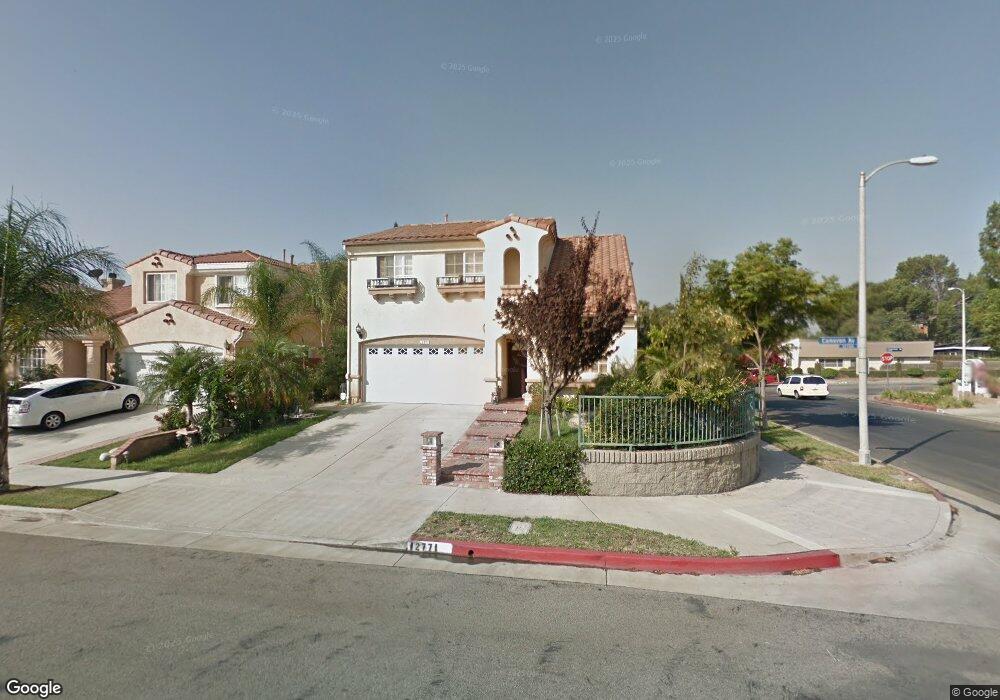
12771 Cameron Ave Sylmar, CA 91342
Estimated Value: $851,305 - $868,000
4
Beds
3
Baths
1,699
Sq Ft
$506/Sq Ft
Est. Value
About This Home
This home is located at 12771 Cameron Ave, Sylmar, CA 91342 and is currently estimated at $859,826, approximately $506 per square foot. 12771 Cameron Ave is a home located in Los Angeles County with nearby schools including Harding Street Elementary School, San Fernando Middle School, and San Fernando Senior High School.
Ownership History
Date
Name
Owned For
Owner Type
Purchase Details
Closed on
Dec 9, 2002
Sold by
Gladstone Premier Homes Llc
Bought by
Benedicto Esmael and Barrientos Maelaine
Current Estimated Value
Home Financials for this Owner
Home Financials are based on the most recent Mortgage that was taken out on this home.
Original Mortgage
$236,000
Outstanding Balance
$95,961
Interest Rate
5.5%
Estimated Equity
$763,865
Create a Home Valuation Report for This Property
The Home Valuation Report is an in-depth analysis detailing your home's value as well as a comparison with similar homes in the area
Home Values in the Area
Average Home Value in this Area
Purchase History
| Date | Buyer | Sale Price | Title Company |
|---|---|---|---|
| Benedicto Esmael | $295,000 | Stewart |
Source: Public Records
Mortgage History
| Date | Status | Borrower | Loan Amount |
|---|---|---|---|
| Open | Benedicto Esmael | $236,000 | |
| Closed | Benedicto Esmael | $44,250 |
Source: Public Records
Tax History
| Year | Tax Paid | Tax Assessment Tax Assessment Total Assessment is a certain percentage of the fair market value that is determined by local assessors to be the total taxable value of land and additions on the property. | Land | Improvement |
|---|---|---|---|---|
| 2025 | $5,383 | $427,237 | $213,763 | $213,474 |
| 2024 | $5,383 | $418,861 | $209,572 | $209,289 |
| 2023 | $5,280 | $410,649 | $205,463 | $205,186 |
| 2022 | $5,034 | $402,598 | $201,435 | $201,163 |
| 2021 | $4,964 | $394,705 | $197,486 | $197,219 |
| 2019 | $4,816 | $383,000 | $191,630 | $191,370 |
| 2018 | $4,759 | $375,491 | $187,873 | $187,618 |
| 2016 | $4,536 | $360,913 | $180,579 | $180,334 |
| 2015 | $4,471 | $355,493 | $177,867 | $177,626 |
| 2014 | $4,491 | $348,530 | $174,383 | $174,147 |
Source: Public Records
Map
Nearby Homes
- 12801 Gladstone Ave
- 13238 Klein Ct
- 13182 Fernmont St
- 13266 Foothill Blvd
- 12745 N Watt Ln Unit B
- 12745 N Watt Ln Unit B
- 12800 N Watt Ln Unit D
- 13100 Foothill Blvd
- 12807 N Watt Ln Unit D
- 12820 N Watt Ln Unit C
- 12476 Adelphia Ave
- 12837 N Watt Ln Unit A
- 13384 Foothill Blvd
- 13277 Maclay St
- 13182 Cutler Place
- 13220 Tripoli Ave
- 13197 Cutler Place
- 1617 Knox St
- 13522 Island Palms Ln
- 1075 N Maclay Ave Unit 14
- 12767 Cameron Ave
- 12763 Cameron Ave
- 13097 Alexander St
- 13093 Alexander St
- 12759 Cameron Ave
- 12772 Cameron Ave
- 12768 Cameron Ave
- 13087 Alexander St
- 12764 Cameron Ave
- 12755 Cameron Ave
- 13081 Alexander St
- 12761 Gladstone Ave
- 12749 Gladstone Ave
- 13118 Harps St
- 13074 Alexander St
- 13112 Harps St
- 12769 Gladstone Ave
- 12751 Cameron Ave
- 13106 Harps St
- 13045 Hagar St
Your Personal Tour Guide
Ask me questions while you tour the home.