1278 Charles Ave West Branch, IA 52358
Estimated Value: $294,000 - $477,000
4
Beds
2
Baths
1,484
Sq Ft
$283/Sq Ft
Est. Value
About This Home
This home is located at 1278 Charles Ave, West Branch, IA 52358 and is currently estimated at $420,418, approximately $283 per square foot. 1278 Charles Ave is a home with nearby schools including Hoover Elementary School, West Branch Middle School, and West Branch High School.
Ownership History
Date
Name
Owned For
Owner Type
Purchase Details
Closed on
Nov 7, 2022
Sold by
Woodward Shannon C and Woodward Anne R
Bought by
Worrell Joshua P and Worrell Stephanie K
Current Estimated Value
Purchase Details
Closed on
Jun 3, 2005
Sold by
Tjarks Jason D and Tjarks Alicia E
Bought by
Rodriguez Enrigue and Rodriguez Carrie
Create a Home Valuation Report for This Property
The Home Valuation Report is an in-depth analysis detailing your home's value as well as a comparison with similar homes in the area
Home Values in the Area
Average Home Value in this Area
Purchase History
| Date | Buyer | Sale Price | Title Company |
|---|---|---|---|
| Worrell Joshua P | $166,000 | -- | |
| Worrell Joshua P | $166,000 | None Listed On Document | |
| Rodriguez Enrigue | $15,000 | None Available |
Source: Public Records
Tax History Compared to Growth
Tax History
| Year | Tax Paid | Tax Assessment Tax Assessment Total Assessment is a certain percentage of the fair market value that is determined by local assessors to be the total taxable value of land and additions on the property. | Land | Improvement |
|---|---|---|---|---|
| 2025 | $5,070 | $454,010 | $140,000 | $314,010 |
| 2024 | $5,070 | $415,110 | $107,400 | $307,710 |
| 2023 | $4,782 | $400,000 | $107,400 | $292,600 |
| 2022 | $4,464 | $330,330 | $73,130 | $257,200 |
| 2021 | $4,264 | $330,330 | $73,130 | $257,200 |
| 2020 | $4,148 | $293,620 | $65,000 | $228,620 |
| 2019 | $3,568 | $282,410 | $65,000 | $228,620 |
| 2018 | $3,494 | $282,410 | $0 | $0 |
| 2017 | $3,494 | $252,090 | $0 | $0 |
| 2016 | $3,552 | $252,090 | $0 | $0 |
| 2015 | $3,588 | $252,090 | $0 | $0 |
| 2014 | $3,588 | $254,160 | $0 | $0 |
Source: Public Records
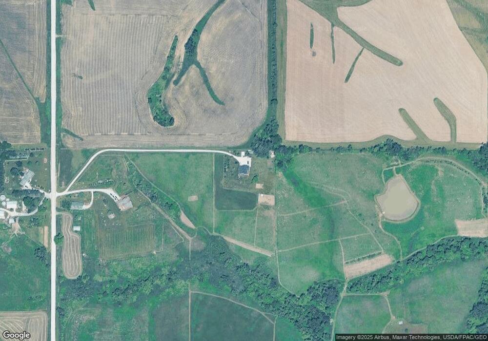
Map
Nearby Homes
- 1612 Cedar St
- 0 185th St at Dixon Ave
- 185th St
- 0 185th St & Dixon Ave
- 325 Elm St
- 3149 Oasis Rd NE
- 12 Bradley Ln Unit AB12
- 27 Bradley Ln Unit AC27
- 63 Eisenhower St Unit GB63
- T.B.D. 275th St
- 33 Lou Henry Ln Unit AM33
- 35 Lou Henry Ln Unit AM35
- 3 Grant St Unit GR3
- 0 340th St NE Unit 2507765
- 521 N 4th St Unit Louise Court Condos
- 557 N 4th St
- 121 Northridge Dr Unit 121-139
- 4 Lazy Brook Dr
- 426 N 1st St
- 110 Northside Dr