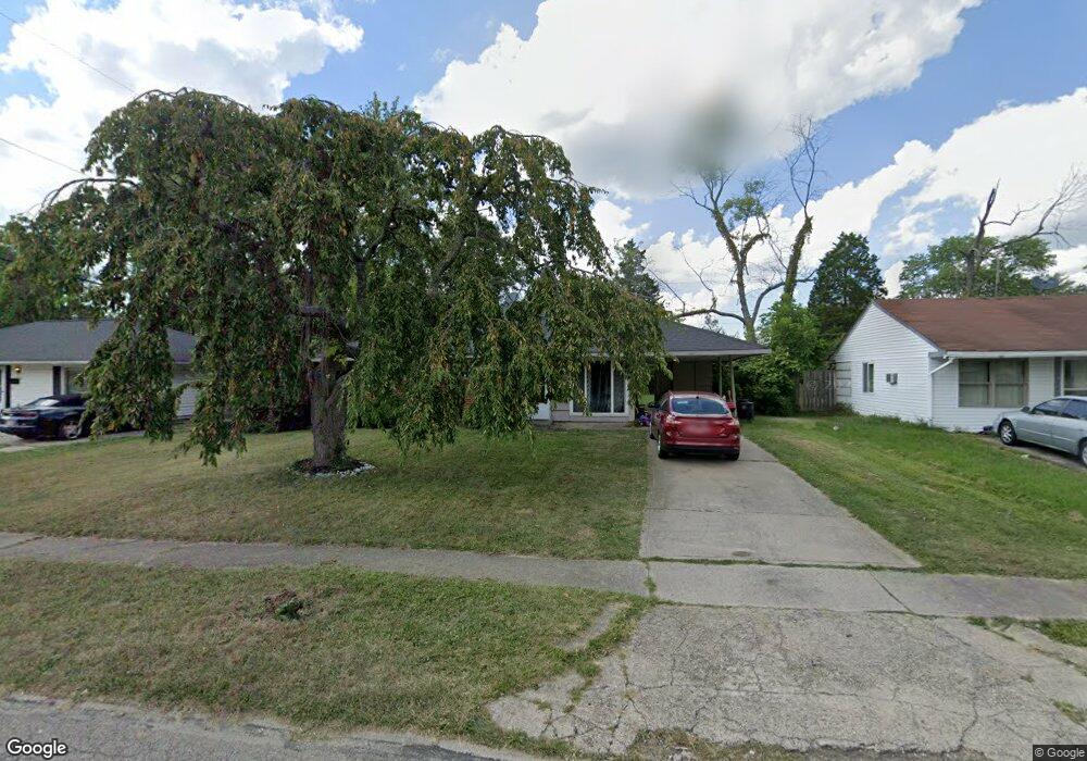
1278 Landis Ln Cincinnati, OH 45231
Finneytown NeighborhoodEstimated Value: $121,000 - $166,000
3
Beds
1
Bath
918
Sq Ft
$154/Sq Ft
Est. Value
About This Home
This home is located at 1278 Landis Ln, Cincinnati, OH 45231 and is currently estimated at $141,280, approximately $153 per square foot. 1278 Landis Ln is a home located in Hamilton County with nearby schools including Mt Healthy High School, St. Vivian School, and Central Baptist Academy.
Ownership History
Date
Name
Owned For
Owner Type
Purchase Details
Closed on
Jun 3, 2016
Sold by
Golden Real Estate
Bought by
Generation Two Properties Llc
Current Estimated Value
Purchase Details
Closed on
Feb 19, 2010
Sold by
Deutsche Bank National Trust Company
Bought by
Curtis Daniel and Curtis Leatha
Purchase Details
Closed on
Jan 23, 2009
Sold by
Gillespie Dennis
Bought by
Deutsche Bank National Trust Company
Create a Home Valuation Report for This Property
The Home Valuation Report is an in-depth analysis detailing your home's value as well as a comparison with similar homes in the area
Home Values in the Area
Average Home Value in this Area
Purchase History
| Date | Buyer | Sale Price | Title Company |
|---|---|---|---|
| Generation Two Properties Llc | $42,500 | Chicago Title | |
| Curtis Daniel | $14,000 | Attorney | |
| Deutsche Bank National Trust Company | $26,000 | None Available |
Source: Public Records
Tax History
| Year | Tax Paid | Tax Assessment Tax Assessment Total Assessment is a certain percentage of the fair market value that is determined by local assessors to be the total taxable value of land and additions on the property. | Land | Improvement |
|---|---|---|---|---|
| 2025 | $2,071 | $28,942 | $5,355 | $23,587 |
| 2024 | $1,775 | $28,942 | $5,355 | $23,587 |
| 2023 | $1,657 | $28,942 | $5,355 | $23,587 |
| 2022 | $1,095 | $13,741 | $5,299 | $8,442 |
| 2021 | $1,090 | $13,741 | $5,299 | $8,442 |
| 2020 | $1,076 | $13,741 | $5,299 | $8,442 |
| 2019 | $1,074 | $12,723 | $4,907 | $7,816 |
| 2018 | $1,079 | $12,723 | $4,907 | $7,816 |
| 2017 | $1,040 | $12,723 | $4,907 | $7,816 |
| 2016 | $400 | $4,655 | $4,403 | $252 |
| 2015 | $397 | $4,655 | $4,403 | $252 |
| 2014 | $394 | $4,655 | $4,403 | $252 |
| 2013 | $406 | $4,900 | $4,634 | $266 |
Source: Public Records
Map
Nearby Homes
- 1297 Landis Ln
- 8719 Hood Ct
- 8609 Balboa Dr
- 8771 Desoto Dr
- 7227 Bernard Ave
- 7352 Clovernook Ave
- 1144 Hempstead Dr
- 1116 Madeleine Cir
- 1476 Foxwood Dr
- 8943 Monsanto Dr
- 1481 Saint Clair Ave
- 8628 Mockingbird Ln
- 1101 Meadowind Ct
- 1052 Vacationland Dr
- 1055 Hempstead Dr
- 1500 Madison Ave
- 7374 Elizabeth St
- 1461 Kinney Ave
- 7929 Cherrywood Ct
- 7404 Joseph St
Your Personal Tour Guide
Ask me questions while you tour the home.