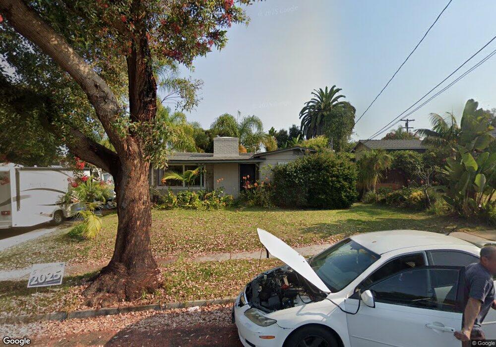
1278 Las Flores Dr Unit 82 Carlsbad, CA 92008
Olde Carlsbad NeighborhoodEstimated Value: $1,250,092 - $1,688,000
3
Beds
2
Baths
1,389
Sq Ft
$1,072/Sq Ft
Est. Value
About This Home
This home is located at 1278 Las Flores Dr Unit 82, Carlsbad, CA 92008 and is currently estimated at $1,488,773, approximately $1,071 per square foot. 1278 Las Flores Dr Unit 82 is a home located in San Diego County with nearby schools including Buena Vista Elementary, Carlsbad High School, and Sage Creek High.
Ownership History
Date
Name
Owned For
Owner Type
Purchase Details
Closed on
Aug 25, 2025
Sold by
Revocable Living Trust Agreement Of Vern and Campbell Michelle Martin
Bought by
Leftys On Las Flores Llc
Current Estimated Value
Purchase Details
Closed on
Aug 8, 2022
Sold by
Martin Vern W
Bought by
Revocable Living Trust
Purchase Details
Closed on
Nov 12, 1996
Sold by
Vanderswag Beth W and Vanderswag Helen M
Bought by
Martinn Vern W and Martin Margaret Ann
Create a Home Valuation Report for This Property
The Home Valuation Report is an in-depth analysis detailing your home's value as well as a comparison with similar homes in the area
Home Values in the Area
Average Home Value in this Area
Purchase History
| Date | Buyer | Sale Price | Title Company |
|---|---|---|---|
| Leftys On Las Flores Llc | -- | First American Title Company | |
| Revocable Living Trust | -- | Feist Vetter Knauf & Loy | |
| Martinn Vern W | $105,000 | First American Title Ins Co |
Source: Public Records
Tax History Compared to Growth
Tax History
| Year | Tax Paid | Tax Assessment Tax Assessment Total Assessment is a certain percentage of the fair market value that is determined by local assessors to be the total taxable value of land and additions on the property. | Land | Improvement |
|---|---|---|---|---|
| 2025 | $2,794 | $257,751 | $137,391 | $120,360 |
| 2024 | $2,794 | $252,698 | $134,698 | $118,000 |
| 2023 | $2,779 | $247,744 | $132,057 | $115,687 |
| 2022 | $2,737 | $242,887 | $129,468 | $113,419 |
| 2021 | $2,717 | $238,126 | $126,930 | $111,196 |
| 2020 | $2,700 | $235,685 | $125,629 | $110,056 |
| 2019 | $2,653 | $231,065 | $123,166 | $107,899 |
| 2018 | $2,544 | $226,535 | $120,751 | $105,784 |
| 2017 | $2,503 | $222,094 | $118,384 | $103,710 |
| 2016 | $2,404 | $217,740 | $116,063 | $101,677 |
| 2015 | $2,395 | $214,470 | $114,320 | $100,150 |
| 2014 | $2,357 | $210,270 | $112,081 | $98,189 |
Source: Public Records
Map
Nearby Homes
- 1280 Forest Ave
- 2435 Tuttle St
- 1107 Las Flores Dr
- 1080 Buena Place
- 2475 Jefferson St Unit 103
- 2525 Jefferson St Unit K
- 2525 Jefferson St Unit B
- 2535 Jefferson St Unit 10
- 774 Laguna Dr
- 2910 Highland Dr
- 1010 Grand Ave
- 800 Grand Ave Unit 105
- 2664 Roosevelt St
- 2670 Roosevelt St
- 2672 Roosevelt St
- 543 Laguna Dr Unit 3
- 2648 State St
- 2646 State St
- 2646 State St Unit D
- 2517 State St
- 1270 Las Flores Dr
- 1290 Las Flores Dr
- 2441 Pio Pico Dr
- 2445 Pio Pico Dr
- 1288 Las Flores Dr
- 1291 Las Flores Dr
- 1277 Las Flores Dr
- 2480 Pio Pico Dr
- 2450 Pio Pico Dr
- 2340 Moana Place
- 2440 Pio Pico Dr
- 2435 Pio Pico Dr
- 2339 Moana Place
- 1310 Chuparosa Way
- 1314 Chuparosa Way
- 2336 Moana Place
- 2420 Pio Pico Dr
- 1318 Chuparosa Way
- 2401 Pio Pico Dr
- 2335 Moana Place