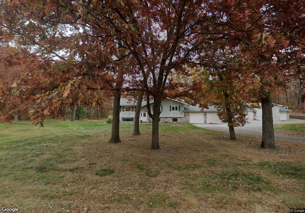
12780 12780 181st St N Scandia, MN 55047
Estimated Value: $543,000 - $576,754
4
Beds
2
Baths
1,440
Sq Ft
$390/Sq Ft
Est. Value
About This Home
This home is located at 12780 12780 181st St N, Scandia, MN 55047 and is currently estimated at $560,939, approximately $389 per square foot. 12780 12780 181st St N is a home located in Washington County with nearby schools including Scandia Elementary School, Forest Lake Area Middle School, and Forest Lake Area High School.
Ownership History
Date
Name
Owned For
Owner Type
Purchase Details
Closed on
Jan 26, 2018
Sold by
Weber Charles H and Weber Lois A
Bought by
Hocuk Christopher D and Hocuk Jennifer C
Current Estimated Value
Home Financials for this Owner
Home Financials are based on the most recent Mortgage that was taken out on this home.
Original Mortgage
$308,000
Outstanding Balance
$260,454
Interest Rate
3.93%
Mortgage Type
New Conventional
Estimated Equity
$300,485
Create a Home Valuation Report for This Property
The Home Valuation Report is an in-depth analysis detailing your home's value as well as a comparison with similar homes in the area
Home Values in the Area
Average Home Value in this Area
Purchase History
| Date | Buyer | Sale Price | Title Company |
|---|---|---|---|
| Hocuk Christopher D | $385,000 | Land Title Inc |
Source: Public Records
Mortgage History
| Date | Status | Borrower | Loan Amount |
|---|---|---|---|
| Open | Hocuk Christopher D | $308,000 |
Source: Public Records
Tax History Compared to Growth
Tax History
| Year | Tax Paid | Tax Assessment Tax Assessment Total Assessment is a certain percentage of the fair market value that is determined by local assessors to be the total taxable value of land and additions on the property. | Land | Improvement |
|---|---|---|---|---|
| 2024 | $6,858 | $471,000 | $133,600 | $337,400 |
| 2023 | $6,858 | $480,700 | $156,700 | $324,000 |
| 2022 | $3,902 | $467,900 | $156,700 | $311,200 |
| 2021 | $3,950 | $374,100 | $125,200 | $248,900 |
| 2020 | $3,842 | $373,100 | $125,200 | $247,900 |
| 2019 | $3,186 | $354,400 | $110,300 | $244,100 |
| 2018 | $2,776 | $289,400 | $92,300 | $197,100 |
| 2017 | $2,900 | $265,700 | $81,500 | $184,200 |
| 2016 | $2,836 | $258,600 | $79,700 | $178,900 |
| 2015 | $2,964 | $279,600 | $84,200 | $195,400 |
| 2013 | -- | $198,200 | $61,000 | $137,200 |
Source: Public Records
Map
Nearby Homes
- 12697 177th St N
- 18070 Olinda Trail N
- 19237 Meadowridge Ln N
- 13128 170th St N
- 19219 Meadowridge Trail N
- 19230 Meadowridge Trail N
- 19311 (Xxx) Newgate Ave N
- 19177 Meadowridge Trail N
- 19320 Meadowridge Trail N
- xxx Orwell Rd N
- 14273 Old Marine Trail N
- 19235 Larkspur Ave N
- 20xxx Maxwill Ave N
- 19085 Manning Trail N
- 10400 180th Street Ln N
- 17260 Keystone Ave N
- 13885 205th St N
- 13975 205th St N
- 13925 205th St N
- 13835 205th St N
- 12780 12780 181st-Street-n
- 12780 181st St N
- 12700 181st St N
- 12725 181st St N
- 12780 182nd St N
- 12727 181st St N
- 12810 182nd St N
- 12880 12880 182nd St N
- 12750 182nd St N
- 12885 182nd St N
- 12880 182nd St N
- 12850 182nd St N
- 12730 182nd St N
- 12700 182nd St N
- 12700 182nd St N
- 12620 181st St N
- 12670 182nd St N
- 12925 182nd St N
- 12665 181st St N
- 12640 182nd St N