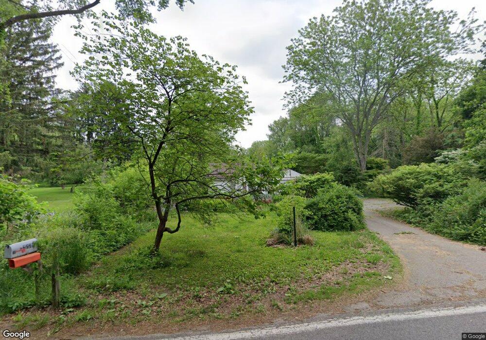
12780 Minges Rd S Battle Creek, MI 49015
Rural Southwest Battle Creek NeighborhoodEstimated Value: $171,000 - $222,000
3
Beds
1
Bath
850
Sq Ft
$223/Sq Ft
Est. Value
About This Home
This home is located at 12780 Minges Rd S, Battle Creek, MI 49015 and is currently estimated at $189,778, approximately $223 per square foot. 12780 Minges Rd S is a home located in Calhoun County with nearby schools including Lakeview Middle School, Lakeview High School, and Minges Hills Center for Children.
Ownership History
Date
Name
Owned For
Owner Type
Purchase Details
Closed on
Feb 29, 2008
Sold by
Camp Andrew
Bought by
Federal Home Loan Mortgage Corp
Current Estimated Value
Purchase Details
Closed on
Aug 7, 2006
Sold by
Preston Matthew A
Bought by
Camp Andrew
Home Financials for this Owner
Home Financials are based on the most recent Mortgage that was taken out on this home.
Original Mortgage
$87,900
Interest Rate
6.85%
Mortgage Type
New Conventional
Purchase Details
Closed on
Aug 8, 2002
Sold by
Wilholt Larry A and Wilholt Mills Nicole
Bought by
Preston Matthew A
Purchase Details
Closed on
Aug 9, 2001
Sold by
Smith Trust Nancy
Bought by
Wilholt Larry A and Wilholt Mills,Nicole
Purchase Details
Closed on
Mar 2, 2000
Sold by
Smith Nancy A
Bought by
Smith Trust Nancy A
Purchase Details
Closed on
Apr 24, 1999
Sold by
Smith Nancy
Create a Home Valuation Report for This Property
The Home Valuation Report is an in-depth analysis detailing your home's value as well as a comparison with similar homes in the area
Home Values in the Area
Average Home Value in this Area
Purchase History
| Date | Buyer | Sale Price | Title Company |
|---|---|---|---|
| Federal Home Loan Mortgage Corp | $93,602 | None Available | |
| Camp Andrew | $87,900 | Fatic | |
| Preston Matthew A | $75,000 | -- | |
| Wilholt Larry A | $49,000 | -- | |
| Smith Trust Nancy A | -- | -- | |
| -- | -- | -- |
Source: Public Records
Mortgage History
| Date | Status | Borrower | Loan Amount |
|---|---|---|---|
| Previous Owner | Camp Andrew | $87,900 |
Source: Public Records
Tax History Compared to Growth
Tax History
| Year | Tax Paid | Tax Assessment Tax Assessment Total Assessment is a certain percentage of the fair market value that is determined by local assessors to be the total taxable value of land and additions on the property. | Land | Improvement |
|---|---|---|---|---|
| 2025 | -- | $65,800 | $0 | $0 |
| 2024 | $2,349 | $63,724 | $0 | $0 |
| 2023 | $2,475 | $58,604 | $0 | $0 |
| 2022 | $2,015 | $56,517 | $0 | $0 |
| 2021 | $2,166 | $52,708 | $0 | $0 |
| 2020 | $2,515 | $49,964 | $0 | $0 |
| 2019 | $2,388 | $50,784 | $0 | $0 |
| 2018 | $2,388 | $43,768 | $17,019 | $26,749 |
| 2017 | $1,968 | $43,018 | $0 | $0 |
| 2016 | $2,157 | $41,649 | $0 | $0 |
| 2015 | $1,996 | $42,206 | $16,614 | $25,592 |
| 2014 | $1,996 | $44,626 | $16,614 | $28,012 |
Source: Public Records
Map
Nearby Homes
- 12740 Minges Rd S
- 12800 Minges Rd S
- 12601 Minges Rd S
- 12441 Minges Rd S
- 4293 Beckley Rd
- 118 Flora Ln
- 3494 Capital Ave SW
- 15 Timothy Ln
- 12350 Sonoma Rd
- V/L 4 Mile Rd
- 0 Beckley Rd Unit 25047007
- V/L Beckley Rd
- 292 W Hamilton Ln
- 4281 Watkins Rd
- 4275 Watkins Rd
- 220 Deer Path Ln
- 117 Pheasant Run
- 219 W Hamilton Ln
- 211 Beckwith Dr
- 29 Langley Rd E
- 12770 Minges Rd S
- 12790 Minges Rd S
- 12779 Minges Rd S
- 12775 Minges Rd S
- 12785 Minges Rd S
- 12767 Minges Rd S
- 12837 Minges Rd S
- 12766 Minges Rd S
- 12760 Minges Rd S
- 12860 Minges Rd S
- 12759 Minges Rd S
- 12869 Minges Rd S
- 12873 Minges Rd S
- 12733 Minges Rd S
- 12705 Minges Rd S
- 12700 Minges Rd S
- 12776 Minges Rd S
- 12693 Minges Rd S
- 12901 Minges Rd S
- 12613 Minges Rd S
