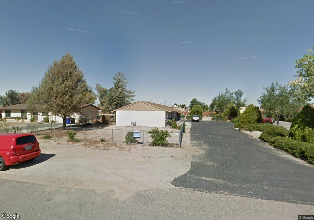
12780 Red Wing Rd Unit B Apple Valley, CA 92308
High Desert NeighborhoodEstimated Value: $343,000 - $493,000
2
Beds
2
Baths
2,184
Sq Ft
$189/Sq Ft
Est. Value
About This Home
This home is located at 12780 Red Wing Rd Unit B, Apple Valley, CA 92308 and is currently estimated at $413,453, approximately $189 per square foot. 12780 Red Wing Rd Unit B is a home located in San Bernardino County with nearby schools including Yucca Loma Elementary School and Apple Valley High School.
Ownership History
Date
Name
Owned For
Owner Type
Purchase Details
Closed on
Mar 5, 2015
Sold by
Dusenberry Richard C and Dusenberry Dorcas A
Bought by
The Dusenberry Craig Trust
Current Estimated Value
Purchase Details
Closed on
Dec 6, 2002
Sold by
Reeder Gail M
Bought by
Dusenberry Richard C and Dusenberry Dorcas A
Purchase Details
Closed on
Jul 10, 1996
Sold by
Bacorn Mildred Neva Trust and Gomez Sandra Blanche
Bought by
Reeder Gail M
Home Financials for this Owner
Home Financials are based on the most recent Mortgage that was taken out on this home.
Original Mortgage
$48,750
Interest Rate
4.25%
Create a Home Valuation Report for This Property
The Home Valuation Report is an in-depth analysis detailing your home's value as well as a comparison with similar homes in the area
Home Values in the Area
Average Home Value in this Area
Purchase History
| Date | Buyer | Sale Price | Title Company |
|---|---|---|---|
| The Dusenberry Craig Trust | -- | None Available | |
| Dusenberry Richard C | $110,000 | Chicago Title Co | |
| Reeder Gail M | $65,000 | Old Republic Title Company |
Source: Public Records
Mortgage History
| Date | Status | Borrower | Loan Amount |
|---|---|---|---|
| Previous Owner | Reeder Gail M | $48,750 |
Source: Public Records
Tax History
| Year | Tax Paid | Tax Assessment Tax Assessment Total Assessment is a certain percentage of the fair market value that is determined by local assessors to be the total taxable value of land and additions on the property. | Land | Improvement |
|---|---|---|---|---|
| 2025 | $2,075 | $159,320 | $20,279 | $139,041 |
| 2024 | $2,018 | $156,196 | $19,881 | $136,315 |
| 2023 | $1,998 | $153,133 | $19,491 | $133,642 |
| 2022 | $1,967 | $150,131 | $19,109 | $131,022 |
| 2021 | $1,922 | $147,187 | $18,734 | $128,453 |
| 2020 | $1,898 | $145,678 | $18,542 | $127,136 |
| 2019 | $1,863 | $142,821 | $18,178 | $124,643 |
| 2018 | $1,818 | $140,021 | $17,822 | $122,199 |
| 2017 | $1,792 | $137,276 | $17,473 | $119,803 |
| 2016 | $1,646 | $134,584 | $17,130 | $117,454 |
| 2015 | $1,621 | $132,563 | $16,873 | $115,690 |
| 2014 | $1,599 | $129,966 | $16,542 | $113,424 |
Source: Public Records
Map
Nearby Homes
- 12850 Lakota Rd
- 0 Matawan Rd
- 20958 Nisqually Rd
- 0 Rancho Rd Unit HD26024460
- 20726 Nisqually Rd
- 21275 Pocomoke Rd
- 21011 Ponca Rd
- 12765 Pocomoke Rd
- 21224 Vidal Ct
- 12655 Pocono Rd
- 13073 Mohawk Rd
- 12902 Casco Rd
- 2222 Ottawa Rd
- 12999 Algonquin Rd
- 13206 Winona Rd
- 13099 Pocono Rd
- 21189 Colombard Way
- 12744 Running Deer Rd
- 12563 Sarsi Ct
- 12443 Bannock Dr
- 12780 Red Wing Rd Unit A
- 12780 Red Wing Rd
- 12796 Red Wing Rd
- 12770 Red Wing Rd
- 12814 Red Wing Rd
- 12754 Red Wing Rd
- 12783 Kiowa Rd
- 12783 Redwing Rd
- 12795 Kiowa Rd
- 12769 Kiowa Rd Unit 3
- 12769 Kiowa Rd Unit 2
- 12769 Kiowa Rd Unit 1
- 12769 Kiowa Rd
- 12783 Red Wing Rd
- 12795 Red Wing Rd
- 12813 Kiowa Rd
- 12769 Red Wing Rd
- 12757 Kiowa Rd Unit 3
- 12757 Kiowa Rd Unit 2
- 12757 Kiowa Rd
Your Personal Tour Guide
Ask me questions while you tour the home.