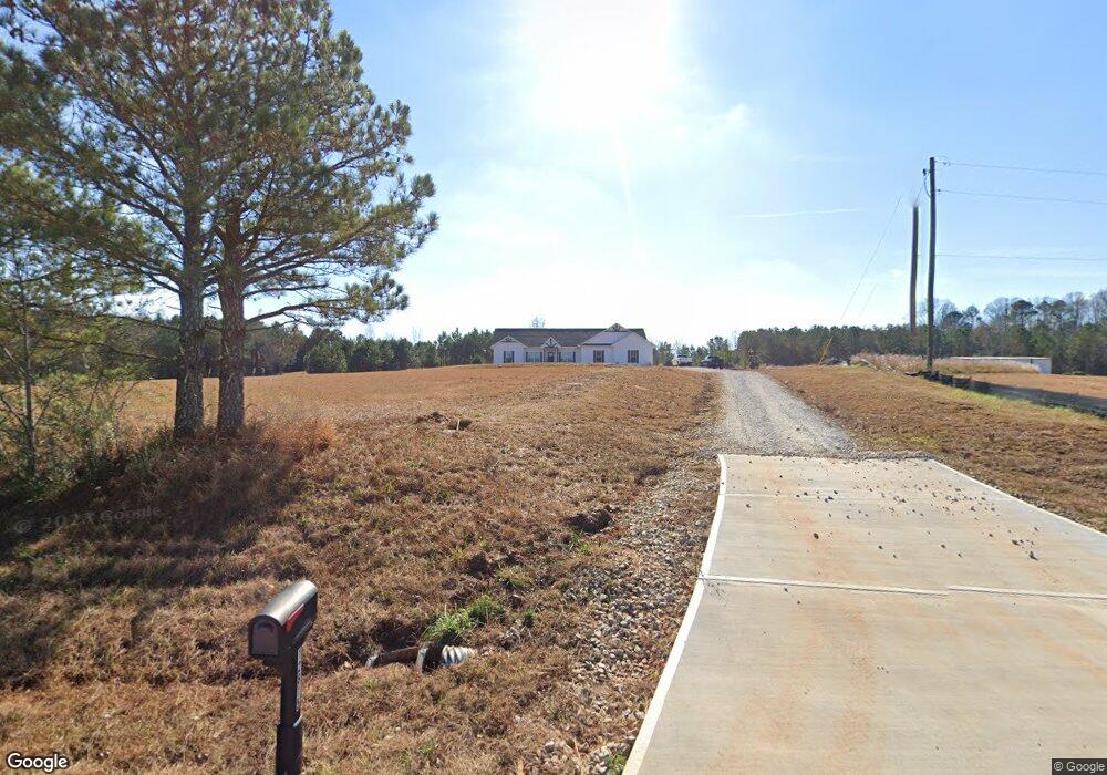
12787 Buchanan Hwy Temple, GA 30179
Estimated Value: $513,000 - $884,490
3
Beds
3
Baths
3,492
Sq Ft
$200/Sq Ft
Est. Value
About This Home
This home is located at 12787 Buchanan Hwy, Temple, GA 30179 and is currently estimated at $697,497, approximately $199 per square foot. 12787 Buchanan Hwy is a home located in Paulding County with nearby schools including Union Elementary School, Carl Scoggins Sr. Middle School, and South Paulding High School.
Ownership History
Date
Name
Owned For
Owner Type
Purchase Details
Closed on
Apr 22, 2022
Sold by
Prather Hoyt Tim
Bought by
Brown Brandi R and Brown Robert T
Current Estimated Value
Purchase Details
Closed on
May 23, 2014
Sold by
Prather Hoyt Tim
Purchase Details
Closed on
Jan 5, 2011
Sold by
Prather Hoyt Tim and Telitta Renea
Create a Home Valuation Report for This Property
The Home Valuation Report is an in-depth analysis detailing your home's value as well as a comparison with similar homes in the area
Home Values in the Area
Average Home Value in this Area
Purchase History
| Date | Buyer | Sale Price | Title Company |
|---|---|---|---|
| Brown Brandi R | -- | -- | |
| -- | -- | -- | |
| -- | -- | -- |
Source: Public Records
Tax History Compared to Growth
Tax History
| Year | Tax Paid | Tax Assessment Tax Assessment Total Assessment is a certain percentage of the fair market value that is determined by local assessors to be the total taxable value of land and additions on the property. | Land | Improvement |
|---|---|---|---|---|
| 2024 | $6,396 | $324,216 | $70,680 | $253,536 |
| 2023 | $6,437 | $310,104 | $67,200 | $242,904 |
| 2022 | $7,234 | $279,360 | $70,160 | $209,200 |
| 2021 | $6,454 | $223,960 | $50,240 | $173,720 |
| 2020 | $6,268 | $212,880 | $43,080 | $169,800 |
| 2019 | $5,670 | $190,040 | $37,320 | $152,720 |
| 2018 | $5,933 | $196,920 | $38,480 | $158,440 |
| 2017 | $5,625 | $186,000 | $38,480 | $147,520 |
Source: Public Records
Map
Nearby Homes
- 0 Hutcheson Rd Unit 10474278
- 0 Hutcheson Rd Unit 7537190
- 191 True Gospel Rd
- 138 W Fork Way
- 1035 Golden Rd
- 207 Ivey Terrace
- 207 Ivey Terrace Unit 27
- 209 Ivey Terrace Unit 28
- 209 Ivey Terrace
- 211 Ivey Terrace
- 211 Ivey Terrace Unit 29
- 213 Ivey Terrace
- 213 Ivey Terrace Unit 30
- 215 Ivey Terrace
- 217 Ivey Terrace Unit 32
- 217 Ivey Terrace
- 219 Ivey Terrace Unit 33
- 225 Ivey Terrace
- 807 Old Draketown Pass
- 300 Speight Rd
- 12783 Buchanan Hwy
- 2 Goldin Rd Unit B,2
- 0 Goldin Rd Unit 8270314
- 0 Goldin Rd Unit 8333204
- 0 Goldin Rd Unit 6853130
- 000 Goldin Rd
- 0 Goldin Rd Unit 8744864
- 0 Goldin Rd Unit 6687911
- 0 Goldin Rd Unit 8630632
- 890 Goodman Rd
- 12629 Buchanan Hwy
- 12603 Buchanan Hwy
- 12844 Buchanan Hwy
- 000 Hutcheson Rd
- 12994 Buchanan Hwy
- 13048 Buchanan Hwy
- 13064 Buchanan Hwy
- 12596 Buchanan Hwy
- 13066 Buchanan Hwy
- 2 Golden Rd Unit B,2