12797 Gibbs Rd Springport, MI 49284
Estimated Value: $239,000 - $503,000
3
Beds
2
Baths
1,833
Sq Ft
$186/Sq Ft
Est. Value
About This Home
This home is located at 12797 Gibbs Rd, Springport, MI 49284 and is currently estimated at $341,375, approximately $186 per square foot. 12797 Gibbs Rd is a home located in Jackson County with nearby schools including Springport Elementary School, Springport Middle School, and Springport High School.
Ownership History
Date
Name
Owned For
Owner Type
Purchase Details
Closed on
Mar 25, 2002
Sold by
Brown Dion Jeffery
Bought by
Brown Jodie L
Current Estimated Value
Home Financials for this Owner
Home Financials are based on the most recent Mortgage that was taken out on this home.
Original Mortgage
$191,800
Interest Rate
6.5%
Mortgage Type
Purchase Money Mortgage
Purchase Details
Closed on
Sep 29, 1998
Sold by
Buche Robert D
Bought by
Buche Jodie Lynn
Purchase Details
Closed on
Feb 23, 1998
Sold by
Buche Robert D
Bought by
Buche Jodie L
Create a Home Valuation Report for This Property
The Home Valuation Report is an in-depth analysis detailing your home's value as well as a comparison with similar homes in the area
Home Values in the Area
Average Home Value in this Area
Purchase History
| Date | Buyer | Sale Price | Title Company |
|---|---|---|---|
| Brown Jodie L | -- | Nta | |
| Buche Jodie Lynn | -- | -- | |
| Buche Jodie L | -- | -- |
Source: Public Records
Mortgage History
| Date | Status | Borrower | Loan Amount |
|---|---|---|---|
| Previous Owner | Brown Jodie L | $191,800 |
Source: Public Records
Tax History Compared to Growth
Tax History
| Year | Tax Paid | Tax Assessment Tax Assessment Total Assessment is a certain percentage of the fair market value that is determined by local assessors to be the total taxable value of land and additions on the property. | Land | Improvement |
|---|---|---|---|---|
| 2025 | $3,058 | $132,200 | $0 | $0 |
| 2024 | $950 | $120,800 | $0 | $0 |
| 2023 | $895 | $114,200 | $0 | $0 |
| 2022 | $1,912 | $105,500 | $0 | $0 |
| 2021 | $2,723 | $106,900 | $0 | $0 |
| 2020 | $824 | $102,400 | $0 | $0 |
| 2019 | $2,638 | $86,400 | $0 | $0 |
| 2018 | $2,585 | $72,800 | $0 | $0 |
| 2017 | $2,445 | $70,300 | $0 | $0 |
| 2016 | $769 | $70,300 | $70,300 | $0 |
| 2015 | -- | $74,700 | $74,700 | $0 |
| 2014 | -- | $81,300 | $0 | $0 |
| 2013 | -- | $81,300 | $81,300 | $0 |
Source: Public Records
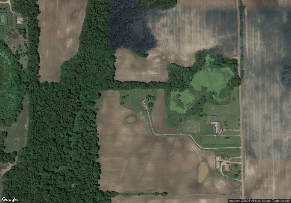
Map
Nearby Homes
- 12315 Kimler Rd
- 9760 Blue Heron
- 9733 Blue Heron
- 10870 Eaton Rapids Rd
- 8840 Houston Rd
- Lot C Stoney Ln
- 261 Mechanic St
- 7283 Peck Rd
- 598 E Main St
- 12333 Brown Rd
- 252 Bay Port Cir Unit 19
- 231 Bay Port Cir Unit 68
- 0 Green St
- 403 Green St
- 0 R-Drive N
- 29510 S Dr N
- Vl Tucker Rd Lot Unit WP001
- VL Tucker Rd Lot#wp001
- 10307 Holmes Hwy
- 9761 Brown Rd
- 12801 Gibbs Rd
- 12793 Gibbs Rd
- 9847 Springport Rd
- 12997 Holibaugh Rd
- 12501 Gibbs Rd
- 8090 Mast Trail
- 8116 Mast Trail
- 9671 Springport Rd
- 8095 Mast Trail
- 8146 Mast Trail
- 12462 Gibbs Rd
- 9685 Cockroft Rd
- 12817 Holibaugh Rd
- 12753 Holibaugh Rd
- 8214 Mast Trail
- 9938 Springport Rd
- 12725 Holibaugh Rd
- 8185 Mast Trail
- 9938 Holibaugh Rd
- 9509 Springport Rd