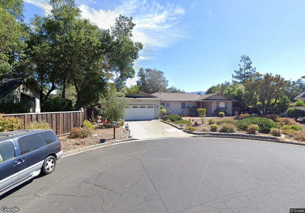
12799 Brookglen Ct Saratoga, CA 95070
West San Jose NeighborhoodEstimated Value: $3,881,000 - $4,061,000
4
Beds
2
Baths
2,311
Sq Ft
$1,717/Sq Ft
Est. Value
About This Home
This home is located at 12799 Brookglen Ct, Saratoga, CA 95070 and is currently estimated at $3,967,046, approximately $1,716 per square foot. 12799 Brookglen Ct is a home located in Santa Clara County with nearby schools including Argonaut Elementary School, Saratoga Elementary School, and Foothill Elementary School.
Ownership History
Date
Name
Owned For
Owner Type
Purchase Details
Closed on
Sep 23, 2010
Sold by
Pearson John M
Bought by
Yang Jeff and Yang Mei Ping
Current Estimated Value
Home Financials for this Owner
Home Financials are based on the most recent Mortgage that was taken out on this home.
Original Mortgage
$700,000
Outstanding Balance
$445,780
Interest Rate
3.75%
Mortgage Type
New Conventional
Estimated Equity
$3,521,266
Purchase Details
Closed on
Mar 26, 2002
Sold by
Pearson Lois J
Bought by
Pearson Lois J
Create a Home Valuation Report for This Property
The Home Valuation Report is an in-depth analysis detailing your home's value as well as a comparison with similar homes in the area
Home Values in the Area
Average Home Value in this Area
Purchase History
| Date | Buyer | Sale Price | Title Company |
|---|---|---|---|
| Yang Jeff | $1,200,000 | Fidelity National Title Co | |
| Pearson Lois J | -- | -- |
Source: Public Records
Mortgage History
| Date | Status | Borrower | Loan Amount |
|---|---|---|---|
| Open | Yang Jeff | $700,000 |
Source: Public Records
Tax History Compared to Growth
Tax History
| Year | Tax Paid | Tax Assessment Tax Assessment Total Assessment is a certain percentage of the fair market value that is determined by local assessors to be the total taxable value of land and additions on the property. | Land | Improvement |
|---|---|---|---|---|
| 2025 | $13,313 | $1,101,382 | $578,819 | $522,563 |
| 2024 | $13,313 | $1,079,787 | $567,470 | $512,317 |
| 2023 | $13,313 | $1,058,616 | $556,344 | $502,272 |
| 2022 | $13,015 | $1,037,860 | $545,436 | $492,424 |
| 2021 | $12,786 | $1,017,511 | $534,742 | $482,769 |
| 2020 | $12,507 | $1,007,078 | $529,259 | $477,819 |
| 2019 | $12,336 | $987,332 | $518,882 | $468,450 |
| 2018 | $12,104 | $967,973 | $508,708 | $459,265 |
| 2017 | $12,046 | $948,994 | $498,734 | $450,260 |
| 2016 | $11,673 | $930,387 | $488,955 | $441,432 |
| 2015 | $11,418 | $916,413 | $481,611 | $434,802 |
| 2014 | $11,161 | $898,462 | $472,177 | $426,285 |
Source: Public Records
Map
Nearby Homes
- 19423 Vineyard Ln
- 19113 Vineyard Ln
- 19437 Via Real Dr
- 13010 Glen Brae Dr
- 11010 Maple Place Unit 25-06 Plan 4
- 10750 Elm Cir Unit 88-17 Plan 2
- 10730 Elm Cir Unit 86-17 Plan 2
- Plan 2 at The Elms
- Plan 3 at The Elms
- Plan 4 at The Elms
- 11645 Redwood Place Unit 56-12 Plan 4
- 11315 Cottonwood Place Unit 39-09 Plan 3
- 11210 Cottonwood Place Unit 35-08 Plan 4
- 11115 Maple Place Unit 30-07
- 11220 Cottonwood Place Unit 36-08 Plan 2
- 11125 Maple Place Unit 31-07 Plan 2
- 11240 Cottonwood Place Unit 38-08 Plan 3
- 11145 Maple Place Unit 33-07 Plan 2
- 11155 Maple Place Unit 34-07 Plan 3
- 11040 Maple Place Unit 28-06 Plan 2
- 12787 Brookglen Ct
- 19161 Cox Ave
- 12790 Homes Dr
- 19201 Shubert Dr
- 12765 Brookglen Ct
- 12788 Homes Dr
- 19223 Shubert Dr
- 19152 De Havilland Dr
- 12776 Homes Dr
- 19245 Shubert Dr
- 12743 Brookglen Ct
- 19158 De Havilland Dr
- 12764 Homes Dr
- 19253 Shubert Dr
- 12793 Homes Dr
- 12781 Homes Dr
- 19200 Shubert Dr
- 19166 De Havilland Dr
- 19120 Cox Ave
- 12779 Homes Dr