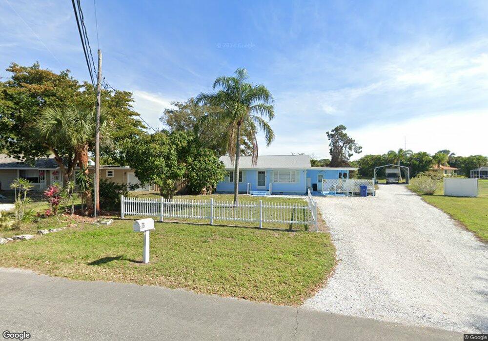
128 2nd Ave Nokomis, FL 34275
Estimated Value: $334,000 - $371,169
3
Beds
2
Baths
1,631
Sq Ft
$220/Sq Ft
Est. Value
About This Home
This home is located at 128 2nd Ave, Nokomis, FL 34275 and is currently estimated at $358,042, approximately $219 per square foot. 128 2nd Ave is a home located in Sarasota County with nearby schools including Laurel Nokomis School, Venice High School, and European Academy Of Early Education.
Ownership History
Date
Name
Owned For
Owner Type
Purchase Details
Closed on
Jul 22, 2014
Sold by
Deutsche Bank National Trust Company
Bought by
Boscia Gregory and Boscia Dominique L
Current Estimated Value
Purchase Details
Closed on
Dec 26, 2013
Sold by
Croom Charles M and Croom Mary H
Bought by
Deutsche Bank National Trust Company
Purchase Details
Closed on
May 11, 2009
Sold by
Croom Charles M and Croom Mary H
Bought by
Croom Charles M and Croom Mary H
Purchase Details
Closed on
Jan 27, 2003
Sold by
Croom Charles M and Croom Mary H
Bought by
Croom Charles M and Croom Mary H
Purchase Details
Closed on
Dec 23, 1994
Sold by
Beveridge Evon W and Beveridge Kathy A
Bought by
Croom Charles M and Croom Mary H
Home Financials for this Owner
Home Financials are based on the most recent Mortgage that was taken out on this home.
Original Mortgage
$91,600
Interest Rate
9.17%
Create a Home Valuation Report for This Property
The Home Valuation Report is an in-depth analysis detailing your home's value as well as a comparison with similar homes in the area
Home Values in the Area
Average Home Value in this Area
Purchase History
| Date | Buyer | Sale Price | Title Company |
|---|---|---|---|
| Boscia Gregory | $103,000 | Premium Title Services Inc | |
| Deutsche Bank National Trust Company | $81,301 | None Available | |
| Croom Charles M | -- | None Available | |
| Croom Charles M | $67,600 | -- | |
| Croom Charles M | $67,600 | -- | |
| Croom Charles M | $114,500 | -- |
Source: Public Records
Mortgage History
| Date | Status | Borrower | Loan Amount |
|---|---|---|---|
| Previous Owner | Croom Charles M | $91,600 |
Source: Public Records
Tax History
| Year | Tax Paid | Tax Assessment Tax Assessment Total Assessment is a certain percentage of the fair market value that is determined by local assessors to be the total taxable value of land and additions on the property. | Land | Improvement |
|---|---|---|---|---|
| 2025 | $1,654 | $151,157 | -- | -- |
| 2024 | $1,575 | $146,897 | -- | -- |
| 2023 | $1,575 | $142,618 | $0 | $0 |
| 2022 | $1,520 | $138,464 | $0 | $0 |
| 2021 | $1,580 | $134,431 | $0 | $0 |
| 2020 | $1,572 | $132,575 | $0 | $0 |
| 2019 | $1,499 | $129,594 | $0 | $0 |
| 2018 | $1,446 | $127,178 | $0 | $0 |
| 2017 | $1,435 | $124,562 | $0 | $0 |
| 2016 | $1,427 | $122,000 | $45,900 | $76,100 |
| 2015 | $1,820 | $113,800 | $43,600 | $70,200 |
| 2014 | $2,043 | $73,733 | $0 | $0 |
Source: Public Records
Map
Nearby Homes
- 124 Matisse Cir W
- 201 Chardin Dr
- 11 1st St E
- 216 Matisse Cir N
- 519 Rubens Dr Unit 519
- 511 Rubens Dr Unit 511
- 510 Villa Park Dr Unit 510
- 124 Da Vinci Dr
- 618 Rubens Dr Unit 618
- 625 Verrocchio Dr
- 120 Villa Dr Unit 120
- 430 Botticelli Dr Unit 430
- 447 Botticelli Dr
- 449 Botticelli Dr
- 107 Sorrento Dr
- 116 1st Ave
- 2251 Jessie Harbor Dr
- 120 Candyce Dr
- 306 Bayside Pkwy
- 304 Tortuga Dr
Your Personal Tour Guide
Ask me questions while you tour the home.