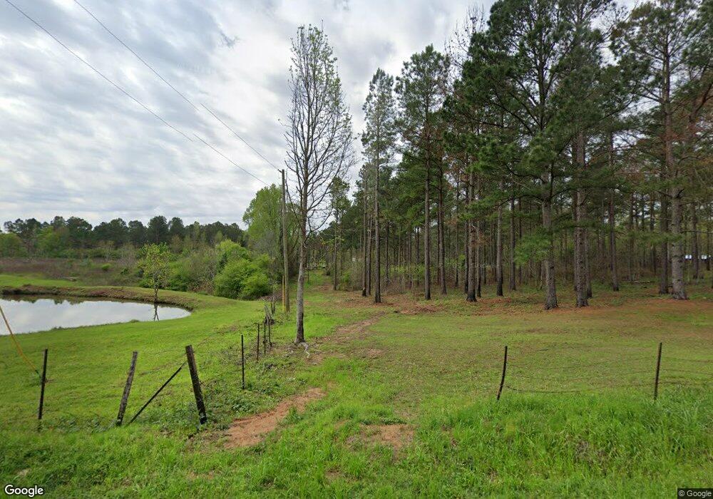
128 Atkisson Rd Newhebron, MS 39140
Estimated Value: $66,000 - $103,000
Studio
--
Bath
1,001
Sq Ft
$85/Sq Ft
Est. Value
About This Home
This home is located at 128 Atkisson Rd, Newhebron, MS 39140 and is currently estimated at $85,107, approximately $85 per square foot. 128 Atkisson Rd is a home with nearby schools including J.E. Johnson Elementary School and Prentiss Senior High School.
Create a Home Valuation Report for This Property
The Home Valuation Report is an in-depth analysis detailing your home's value as well as a comparison with similar homes in the area
Tax History
| Year | Tax Paid | Tax Assessment Tax Assessment Total Assessment is a certain percentage of the fair market value that is determined by local assessors to be the total taxable value of land and additions on the property. | Land | Improvement |
|---|---|---|---|---|
| 2025 | $760 | $5,287 | $0 | $0 |
| 2024 | $760 | $5,270 | $0 | $0 |
| 2023 | $579 | $4,197 | $0 | $0 |
| 2022 | $545 | $3,954 | $0 | $0 |
| 2021 | $523 | $3,992 | $0 | $0 |
| 2020 | $528 | $4,032 | $0 | $0 |
| 2019 | $482 | $3,769 | $0 | $0 |
| 2018 | $502 | $3,769 | $0 | $0 |
| 2017 | $488 | $3,731 | $0 | $0 |
| 2016 | $477 | $3,649 | $0 | $0 |
| 2015 | -- | $1,151 | $0 | $0 |
| 2014 | -- | $806 | $0 | $0 |
| 2013 | -- | $806 | $0 | $0 |
Source: Public Records
Map
Nearby Homes
- 633 Jefferson St
- 174 Hardy Williams Rd
- 0000 Mississippi 43
- 46 Matilda Ln
- 404 Main Ave
- 172 Cherry Ave
- 132 Ferguson Mill Rd
- 0 Shivers Rd Unit 140580
- 0 Heddie Ben Rd
- 540-578 Sol Grubbs Rd
- 1092 Mississippi 43
- 1237 Crooked Creek Rd
- 159 Ward Sullivan Rd
- 119 Spruce Dr
- 0 Zion Hill Church Rd
- 1106 Shivers Rd
- 205 Jake Barnes Rd
- + - 183 Acres Unit Simpson County MS
- + - 130 Acres Unit Simpson County MS
- 7758 Mississippi 13
Your Personal Tour Guide
Ask me questions while you tour the home.