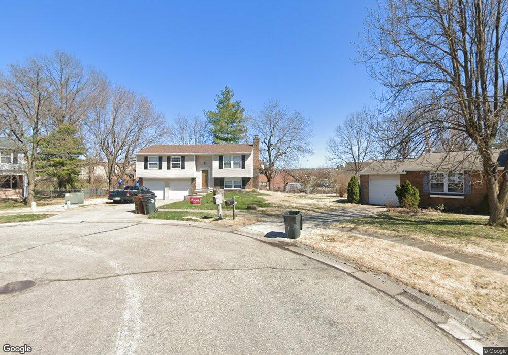
128 Burk Ln Harrison, OH 45030
Estimated Value: $238,000 - $281,000
3
Beds
1
Bath
1,532
Sq Ft
$171/Sq Ft
Est. Value
About This Home
This home is located at 128 Burk Ln, Harrison, OH 45030 and is currently estimated at $262,406, approximately $171 per square foot. 128 Burk Ln is a home located in Hamilton County with nearby schools including William Henry Harrison High School, St. John The Baptist School, and Summit Academy of Southwest Ohio.
Ownership History
Date
Name
Owned For
Owner Type
Purchase Details
Closed on
Apr 25, 2005
Sold by
Macmurdo Barbara and Macmurdo John
Bought by
Macmurdo Brian R and Macmurdo Rebecca L
Current Estimated Value
Home Financials for this Owner
Home Financials are based on the most recent Mortgage that was taken out on this home.
Original Mortgage
$129,290
Outstanding Balance
$67,928
Interest Rate
6.06%
Mortgage Type
FHA
Estimated Equity
$194,478
Purchase Details
Closed on
May 31, 2001
Sold by
Getha Bruce T and Getha Jeannie M
Bought by
Macmurdo Barbara
Create a Home Valuation Report for This Property
The Home Valuation Report is an in-depth analysis detailing your home's value as well as a comparison with similar homes in the area
Home Values in the Area
Average Home Value in this Area
Purchase History
| Date | Buyer | Sale Price | Title Company |
|---|---|---|---|
| Macmurdo Brian R | $131,500 | Superior Title Agency Inc | |
| Macmurdo Barbara | $115,000 | -- |
Source: Public Records
Mortgage History
| Date | Status | Borrower | Loan Amount |
|---|---|---|---|
| Open | Macmurdo Brian R | $129,290 |
Source: Public Records
Tax History
| Year | Tax Paid | Tax Assessment Tax Assessment Total Assessment is a certain percentage of the fair market value that is determined by local assessors to be the total taxable value of land and additions on the property. | Land | Improvement |
|---|---|---|---|---|
| 2025 | $2,938 | $65,737 | $13,650 | $52,087 |
| 2024 | $2,921 | $65,737 | $13,650 | $52,087 |
| 2023 | $2,947 | $65,737 | $13,650 | $52,087 |
| 2022 | $2,469 | $48,220 | $11,970 | $36,250 |
| 2021 | $2,441 | $48,220 | $11,970 | $36,250 |
| 2020 | $2,469 | $48,220 | $11,970 | $36,250 |
| 2019 | $2,265 | $42,298 | $10,500 | $31,798 |
| 2018 | $2,277 | $42,298 | $10,500 | $31,798 |
| 2017 | $2,148 | $42,298 | $10,500 | $31,798 |
| 2016 | $1,830 | $39,005 | $9,433 | $29,572 |
| 2015 | $1,852 | $39,005 | $9,433 | $29,572 |
| 2014 | $1,765 | $39,005 | $9,433 | $29,572 |
| 2013 | $1,814 | $39,799 | $9,625 | $30,174 |
Source: Public Records
Map
Nearby Homes
- 119 Mackie Ln
- 10502 West Rd
- 449 Lyness Ave
- 125 Hopping Ct
- 10740 Stone Ridge Way
- 10803 Stone Ridge Way Unit 15
- 10630 Campbell Rd
- 398 Legacy Way
- 483 Heritage Square
- 130 Country View Dr
- 10701 Campbell Rd
- 207 Biddle Ave
- 120 Hickory Flats Dr
- 0 Carolina Trace Rd Unit 1840792
- 0 New Haven Rd Unit 1867315
- 143 Flintstone Dr
- 155 Turner Ridge Dr
- 120 Westfield Dr
- 157 Turner Ridge Dr
- 117 Westfield Dr
- 126 Burk Ln
- 10520 West Rd Unit 17
- 10520 West Rd Unit 20
- 10520 West Rd Unit 18
- 10520 West Rd Unit 19
- 10520 West Rd
- 127 Burk Ln
- 10518 West Rd
- 10518 West Rd Unit 22
- 10518 West Rd Unit 21
- 10518 West Rd Unit 24
- 10518 West Rd Unit 19
- 10518 West Rd Unit 23
- 124 Burk Ln
- 125 Burk Ln
- 122 Burk Ln
- 10522 West Rd Unit 16
- 10522 West Rd Unit 14
- 10522 West Rd Unit 15
- 10522 West Rd Unit 13
Your Personal Tour Guide
Ask me questions while you tour the home.