Estimated Value: $612,000 - $658,000
4
Beds
2
Baths
2,372
Sq Ft
$270/Sq Ft
Est. Value
About This Home
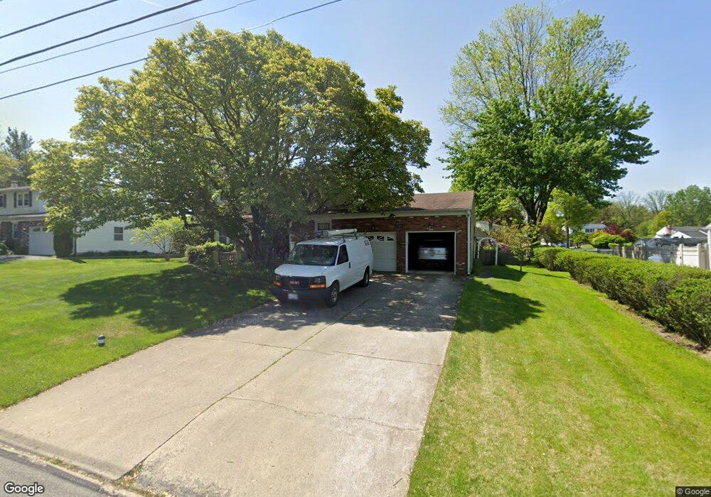
This home is located at 128 Crump Rd, Exton, PA 19341 and is currently estimated at $640,772, approximately $270 per square foot. 128 Crump Rd is a home located in Chester County with nearby schools including Lionville Elementary School, Lionville Middle School, and Downingtown High School East.
Ownership History
Date
Name
Owned For
Owner Type
Purchase Details
Closed on
Aug 1, 2011
Sold by
Robinson Barbara J and Robinson Elizabeth F
Bought by
Robinson Barbara J and Robinson Elizabeth F
Current Estimated Value
Home Financials for this Owner
Home Financials are based on the most recent Mortgage that was taken out on this home.
Original Mortgage
$87,000
Interest Rate
4.53%
Mortgage Type
New Conventional
Purchase Details
Closed on
Apr 16, 2001
Sold by
Robinson Barbara J
Bought by
Robinson Barbara J and Robinson Elizabeth F
Create a Home Valuation Report for This Property
The Home Valuation Report is an in-depth analysis detailing your home's value as well as a comparison with similar homes in the area
Home Values in the Area
Average Home Value in this Area
Purchase History
| Date | Buyer | Sale Price | Title Company |
|---|---|---|---|
| Robinson Barbara J | -- | None Available | |
| Robinson Barbara J | -- | -- |
Source: Public Records
Mortgage History
| Date | Status | Borrower | Loan Amount |
|---|---|---|---|
| Closed | Robinson Barbara J | $87,000 |
Source: Public Records
Tax History
| Year | Tax Paid | Tax Assessment Tax Assessment Total Assessment is a certain percentage of the fair market value that is determined by local assessors to be the total taxable value of land and additions on the property. | Land | Improvement |
|---|---|---|---|---|
| 2025 | $5,522 | $161,320 | $37,940 | $123,380 |
| 2024 | $5,522 | $161,320 | $37,940 | $123,380 |
| 2023 | $5,361 | $161,320 | $37,940 | $123,380 |
| 2022 | $5,226 | $161,320 | $37,940 | $123,380 |
| 2021 | $5,139 | $161,320 | $37,940 | $123,380 |
| 2020 | $5,109 | $161,320 | $37,940 | $123,380 |
| 2019 | $5,109 | $161,320 | $37,940 | $123,380 |
| 2018 | $5,109 | $161,320 | $37,940 | $123,380 |
| 2017 | $5,109 | $161,320 | $37,940 | $123,380 |
| 2016 | $4,748 | $161,320 | $37,940 | $123,380 |
| 2015 | $4,748 | $161,320 | $37,940 | $123,380 |
| 2014 | $4,748 | $161,320 | $37,940 | $123,380 |
Source: Public Records
Map
Nearby Homes
- 305 Concord Ave
- 411 Forge Ln
- 301 Worthington Dr Unit 301
- 510 Woodview Dr
- 119 Conway Ct
- 261 Watch Hill Rd
- 51 Oakland Dr
- 207 Lucy Cir
- 431 Carmarthen Ct
- 233 Lucy Cir
- 2303 Bridgewater Ct
- 417 Windsong Ln
- 447 Wharton Blvd Unit 34
- 525 Pickering Station Dr
- 447 Lee Place
- 524 E Saxony Dr Unit 524
- 506 Langford Dr
- 720 Brainerd Rd
- 609 Thomas Rd
- 300 Bell Ct
Your Personal Tour Guide
Ask me questions while you tour the home.