128 Dexter Ave Kannapolis, NC 28081
Estimated Value: $843,000 - $1,990,000
--
Bed
1
Bath
3,675
Sq Ft
$358/Sq Ft
Est. Value
About This Home
This home is located at 128 Dexter Ave, Kannapolis, NC 28081 and is currently estimated at $1,317,233, approximately $358 per square foot. 128 Dexter Ave is a home located in Rowan County with nearby schools including Landis Elementary School, Corriher Lipe Middle School, and South Rowan High School.
Ownership History
Date
Name
Owned For
Owner Type
Purchase Details
Closed on
Mar 14, 2016
Sold by
Atkinson Jimmie Lee and Atkinson Sheena Linda
Bought by
Flentke George and Smith Susan
Current Estimated Value
Purchase Details
Closed on
Aug 4, 2015
Sold by
144 Family Llc
Bought by
Atkinson Jimmie Lee and Atkinson Sheena Linda
Home Financials for this Owner
Home Financials are based on the most recent Mortgage that was taken out on this home.
Original Mortgage
$100,000
Interest Rate
4.04%
Mortgage Type
Future Advance Clause Open End Mortgage
Create a Home Valuation Report for This Property
The Home Valuation Report is an in-depth analysis detailing your home's value as well as a comparison with similar homes in the area
Home Values in the Area
Average Home Value in this Area
Purchase History
| Date | Buyer | Sale Price | Title Company |
|---|---|---|---|
| Flentke George | $130,000 | None Available | |
| Atkinson Jimmie Lee | $100,000 | None Available |
Source: Public Records
Mortgage History
| Date | Status | Borrower | Loan Amount |
|---|---|---|---|
| Previous Owner | Atkinson Jimmie Lee | $100,000 |
Source: Public Records
Tax History Compared to Growth
Tax History
| Year | Tax Paid | Tax Assessment Tax Assessment Total Assessment is a certain percentage of the fair market value that is determined by local assessors to be the total taxable value of land and additions on the property. | Land | Improvement |
|---|---|---|---|---|
| 2025 | $5,799 | $878,609 | $133,450 | $745,159 |
| 2024 | $5,799 | $878,609 | $133,450 | $745,159 |
| 2023 | $5,799 | $878,609 | $133,450 | $745,159 |
| 2022 | $4,998 | $677,700 | $117,750 | $559,950 |
| 2021 | $4,998 | $677,700 | $117,750 | $559,950 |
| 2020 | $4,998 | $677,700 | $117,750 | $559,950 |
| 2019 | $4,998 | $677,700 | $117,750 | $559,950 |
| 2018 | $4,313 | $589,698 | $117,750 | $471,948 |
| 2017 | $641 | $87,645 | $87,645 | $0 |
| 2016 | $632 | $87,645 | $87,645 | $0 |
| 2015 | $642 | $87,645 | $87,645 | $0 |
| 2014 | $631 | $87,645 | $87,645 | $0 |
Source: Public Records
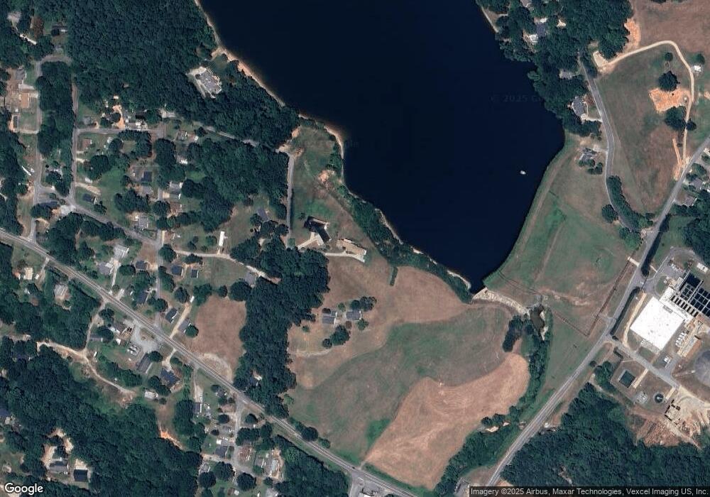
Map
Nearby Homes
- 113 Hilton Ave
- 122 Andrew St
- 1530 Buffalo St
- 0 W C St Unit 2 CAR4255761
- 0 W C St Unit CAR4255556
- 0 Pump Station Rd
- 110 White Ave
- 1895 Normandy Rd
- 1734 Shadowbrook Dr
- 4648 Nob Hill Dr
- 202 Glenn Ave
- 1022 W C St
- 206 Winona Ave
- 1017 W C St
- 1006 Orangewood St
- 0 Winona Ave
- 2218 Woodcrest Dr
- 1408 Westwinds Ct
- 1001 Hoke St
- 2307 Pritchard St