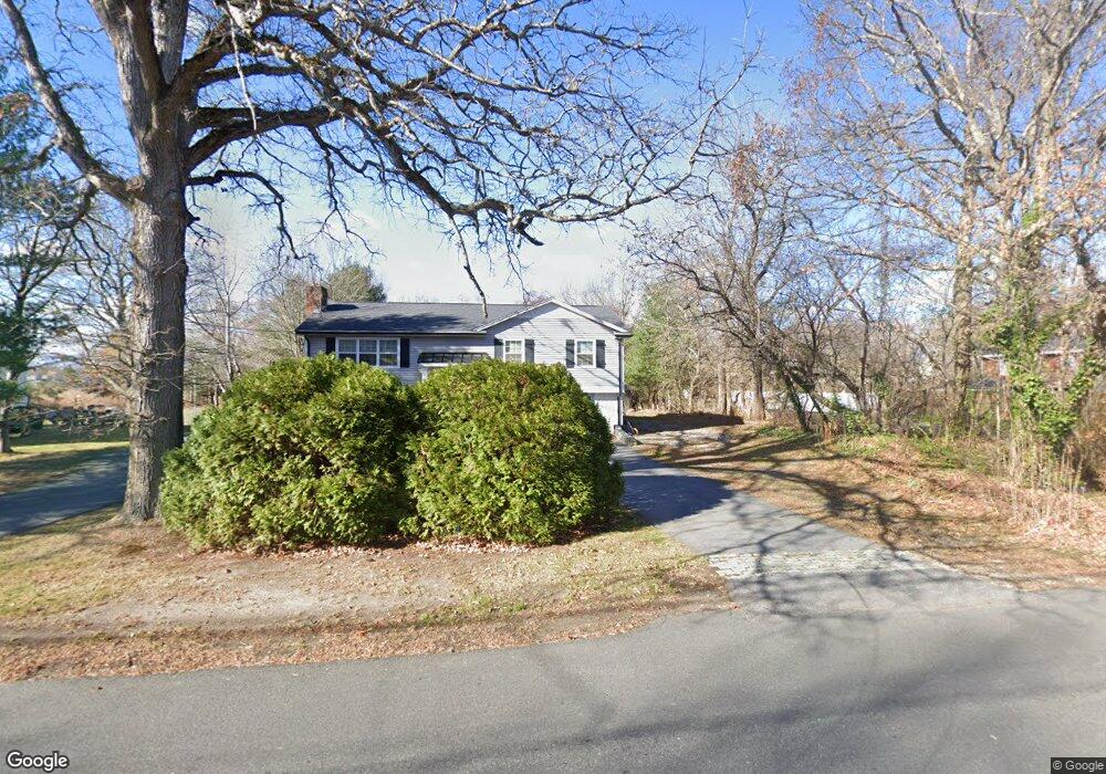
128 Ferry Rd Unit B Salisbury, MA 01952
Estimated Value: $760,000 - $949,000
1
Bed
1
Bath
850
Sq Ft
$1,019/Sq Ft
Est. Value
About This Home
This home is located at 128 Ferry Rd Unit B, Salisbury, MA 01952 and is currently estimated at $866,133, approximately $1,018 per square foot. 128 Ferry Rd Unit B is a home located in Essex County with nearby schools including Triton Regional High School, River Valley Charter School, and Immaculate Conception School.
Ownership History
Date
Name
Owned For
Owner Type
Purchase Details
Closed on
Jun 14, 2023
Sold by
Travers Victoria A
Bought by
Bucciarelli Judith
Current Estimated Value
Home Financials for this Owner
Home Financials are based on the most recent Mortgage that was taken out on this home.
Original Mortgage
$430,000
Outstanding Balance
$416,654
Interest Rate
6.39%
Mortgage Type
Purchase Money Mortgage
Estimated Equity
$449,479
Purchase Details
Closed on
Aug 28, 2020
Sold by
Grundy Erin and Legare Benjamin
Bought by
Travers Victoria A and Travers Virginia
Home Financials for this Owner
Home Financials are based on the most recent Mortgage that was taken out on this home.
Original Mortgage
$514,855
Interest Rate
2.9%
Mortgage Type
FHA
Purchase Details
Closed on
Aug 18, 2015
Sold by
Lewis Thomas
Bought by
Legare Benjamin and Grundy Erin
Home Financials for this Owner
Home Financials are based on the most recent Mortgage that was taken out on this home.
Original Mortgage
$416,958
Interest Rate
4.08%
Mortgage Type
FHA
Purchase Details
Closed on
Jun 27, 2008
Sold by
Deutsche Bank Natl T C
Bought by
Lewis Thomas E
Purchase Details
Closed on
Apr 2, 2008
Sold by
Johnson David A and Deutsche Bank Natl T C
Bought by
Deutsche Bank Natl T C
Purchase Details
Closed on
Jun 2, 2006
Sold by
Johnson Cheryl and Johnson Robert G
Bought by
Johnson David A and Johnson Jessica
Purchase Details
Closed on
Dec 16, 1994
Sold by
Furtek Edward J and Furtek Margaret
Bought by
Johnson Robert G and Johnson Jennifer
Create a Home Valuation Report for This Property
The Home Valuation Report is an in-depth analysis detailing your home's value as well as a comparison with similar homes in the area
Home Values in the Area
Average Home Value in this Area
Purchase History
| Date | Buyer | Sale Price | Title Company |
|---|---|---|---|
| Bucciarelli Judith | $680,000 | None Available | |
| Travers Victoria A | $550,000 | None Available | |
| Legare Benjamin | $316,000 | -- | |
| Lewis Thomas E | $295,000 | -- | |
| Deutsche Bank Natl T C | $319,500 | -- | |
| Johnson David A | $365,000 | -- | |
| Johnson Robert G | $127,500 | -- |
Source: Public Records
Mortgage History
| Date | Status | Borrower | Loan Amount |
|---|---|---|---|
| Open | Bucciarelli Judith | $430,000 | |
| Previous Owner | Travers Victoria A | $514,855 | |
| Previous Owner | Legare Benjamin | $416,958 | |
| Previous Owner | Johnson Robert G | $294,916 | |
| Previous Owner | Johnson Robert G | $294,556 |
Source: Public Records
Tax History
| Year | Tax Paid | Tax Assessment Tax Assessment Total Assessment is a certain percentage of the fair market value that is determined by local assessors to be the total taxable value of land and additions on the property. | Land | Improvement |
|---|---|---|---|---|
| 2025 | $7,636 | $757,500 | $205,200 | $552,300 |
| 2024 | $6,919 | $662,100 | $194,400 | $467,700 |
| 2023 | $6,588 | $610,000 | $194,400 | $415,600 |
| 2022 | $6,362 | $571,100 | $172,800 | $398,300 |
| 2021 | $6,008 | $533,600 | $172,800 | $360,800 |
| 2020 | $4,884 | $426,200 | $181,500 | $244,700 |
| 2019 | $4,757 | $401,100 | $172,800 | $228,300 |
| 2018 | $4,494 | $381,500 | $162,000 | $219,500 |
| 2017 | $3,750 | $314,600 | $143,000 | $171,600 |
| 2016 | $3,549 | $304,100 | $133,900 | $170,200 |
| 2015 | $3,353 | $285,400 | $130,100 | $155,300 |
Source: Public Records
Map
Nearby Homes
- 14 Partridge Ln Unit C
- 157 Bridge Rd
- 86 Ferry Rd
- 175 Bridge Rd
- 2 Elbow Ln Unit A
- 10 10th St
- 182 Merrimac St Unit 1
- 158 Merrimac St Unit 3
- 102 Pleasant St Unit 102
- 7 Summer St Unit 7
- 14-18 Market St
- 11 Charter St
- 129 Merrimac St Unit 9
- 1 Salem St Unit 2
- 215 Merrimac St Unit 2
- 52 Fair St Unit 2D
- 1 Oakland St Unit 2
- 58 Lime St Unit 5
- 103 State St Unit 6
- 45 Boardman St Unit 1
- 128 Ferry Rd
- 128 Ferry Rd Unit 1&2
- 130 Ferry Rd
- 126 Ferry Rd
- 132 Ferry Rd
- 2 Island Way
- 124 Ferry Rd
- 134 Ferry Rd
- 131 Ferry Rd
- 122 Ferry Rd
- 136 Ferry Rd
- 120 Ferry Rd
- 16 Partridge Ln Unit D
- 16 Partridge Ln Unit C
- 16 Partridge Ln Unit B
- 16 Partridge Ln Unit A
- 138 Ferry Rd
- 10 Partidge Ln Unit 10
- 3 Sandpiper Way Unit 16
- 14 Partridge Ln Unit B
Your Personal Tour Guide
Ask me questions while you tour the home.