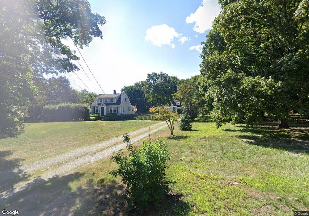
128 Grove St Scituate, MA 02066
Estimated Value: $593,000 - $953,000
3
Beds
2
Baths
1,224
Sq Ft
$673/Sq Ft
Est. Value
About This Home
This home is located at 128 Grove St, Scituate, MA 02066 and is currently estimated at $824,231, approximately $673 per square foot. 128 Grove St is a home located in Plymouth County with nearby schools including Cushing Elementary School, Lester J. Gates Middle School, and Scituate High School.
Ownership History
Date
Name
Owned For
Owner Type
Purchase Details
Closed on
Feb 24, 2020
Sold by
Reardon Scott T and Donnellan-Reardon Laura M
Bought by
Reardon Laura D and Reardon Scott T
Current Estimated Value
Home Financials for this Owner
Home Financials are based on the most recent Mortgage that was taken out on this home.
Original Mortgage
$241,000
Outstanding Balance
$161,146
Interest Rate
3%
Mortgage Type
New Conventional
Estimated Equity
$663,085
Purchase Details
Closed on
Jun 30, 1998
Sold by
Durante Gary F and Durante Tamara L
Bought by
Reardon Scott T and Reardon Laura
Purchase Details
Closed on
Feb 3, 1992
Sold by
Babbitt Cecil and Babbitt Lois H
Bought by
Durante Gary F and Durante Tamara
Create a Home Valuation Report for This Property
The Home Valuation Report is an in-depth analysis detailing your home's value as well as a comparison with similar homes in the area
Home Values in the Area
Average Home Value in this Area
Purchase History
| Date | Buyer | Sale Price | Title Company |
|---|---|---|---|
| Reardon Laura D | -- | None Available | |
| Reardon Scott T | $228,000 | -- | |
| Durante Gary F | $140,000 | -- | |
| Durante Gary F | $140,000 | -- |
Source: Public Records
Mortgage History
| Date | Status | Borrower | Loan Amount |
|---|---|---|---|
| Open | Reardon Laura D | $241,000 | |
| Previous Owner | Durante Gary F | $60,000 | |
| Previous Owner | Durante Gary F | $248,000 |
Source: Public Records
Tax History
| Year | Tax Paid | Tax Assessment Tax Assessment Total Assessment is a certain percentage of the fair market value that is determined by local assessors to be the total taxable value of land and additions on the property. | Land | Improvement |
|---|---|---|---|---|
| 2025 | $8,376 | $838,400 | $380,200 | $458,200 |
| 2024 | $8,352 | $806,200 | $345,700 | $460,500 |
| 2023 | $8,171 | $734,100 | $314,300 | $419,800 |
| 2022 | $8,028 | $636,100 | $275,800 | $360,300 |
| 2021 | $7,685 | $576,500 | $262,600 | $313,900 |
| 2020 | $7,537 | $558,300 | $252,500 | $305,800 |
| 2019 | $7,457 | $542,700 | $247,600 | $295,100 |
| 2018 | $7,437 | $533,100 | $264,500 | $268,600 |
| 2017 | $7,099 | $503,800 | $240,400 | $263,400 |
| 2016 | $6,902 | $488,100 | $228,400 | $259,700 |
| 2015 | $6,237 | $476,100 | $216,400 | $259,700 |
Source: Public Records
Map
Nearby Homes
- 627 First Parish Rd
- 575 First Parish Rd
- 2 Webster Farm Way
- 293 Cross St
- 327 Country Way
- 43 Summer St
- 25 Webster Farm Way
- 23 Webster Farm Way
- 3 Webster Farm Way
- 5 Webster Farm Way
- 11 Forest Ln
- 9 Forest Ln Unit 9
- 453 Clapp Rd
- 449 Clapp Rd
- 451 Clapp Rd
- 453 - 455 Clapp Rd
- 34 Cudworth Rd
- 0 Mt Blue Unit 73374335
- 94 Old Oaken Bucket Rd
- 0 Bates Ln (Lot E Kevin's Way) Unit 73419598
- 120 Grove St
- 136 Grove St
- 125 Grove St
- 112 Grove St
- 115 Grove St
- 611 First Parish Rd
- 141 Grove St
- 119 Grove St
- 577R First Parish Rd
- 607 First Parish Rd
- 605 First Parish Rd
- 647 First Parish Rd
- 643 First Parish Rd
- 153 Grove St
- 612 First Parish Rd
- 639 First Parish Rd
- 601 First Parish Rd
- 635 First Parish Rd
- 159 Grove St
- 604 First Parish Rd
Your Personal Tour Guide
Ask me questions while you tour the home.