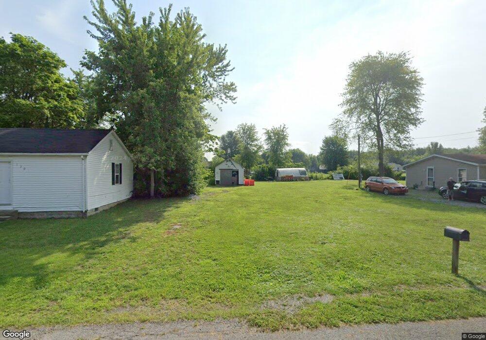
128 N High St Midland, OH 45148
Estimated Value: $175,000
--
Bed
--
Bath
--
Sq Ft
10,019
Sq Ft Lot
About This Home
This home is located at 128 N High St, Midland, OH 45148 and is currently estimated at $175,000. 128 N High St is a home located in Clinton County with nearby schools including Putman Elementary School, Blanchester Middle School, and Blanchester Intermediate School.
Ownership History
Date
Name
Owned For
Owner Type
Purchase Details
Closed on
Feb 24, 2023
Sold by
Hawkins Rebecca L
Bought by
Baker Tiffany M
Current Estimated Value
Purchase Details
Closed on
Mar 21, 2005
Sold by
Federal Home Loan Mortgage Corporation
Bought by
Baker Allen
Purchase Details
Closed on
Mar 1, 2005
Sold by
Federal Home Loan Mortgage Corporation
Bought by
Baker Allan
Purchase Details
Closed on
Jan 26, 2005
Sold by
Younker Lester L and Younker Charlotte G
Bought by
Federal Home Loan Mortgage Corporation
Purchase Details
Closed on
Jan 1, 1990
Bought by
Younker Lester L
Create a Home Valuation Report for This Property
The Home Valuation Report is an in-depth analysis detailing your home's value as well as a comparison with similar homes in the area
Home Values in the Area
Average Home Value in this Area
Purchase History
| Date | Buyer | Sale Price | Title Company |
|---|---|---|---|
| Baker Tiffany M | -- | -- | |
| Baker Allen | -- | -- | |
| Baker Allan | -- | -- | |
| Federal Home Loan Mortgage Corporation | $23,000 | -- | |
| Younker Lester L | -- | -- |
Source: Public Records
Tax History Compared to Growth
Tax History
| Year | Tax Paid | Tax Assessment Tax Assessment Total Assessment is a certain percentage of the fair market value that is determined by local assessors to be the total taxable value of land and additions on the property. | Land | Improvement |
|---|---|---|---|---|
| 2024 | $91 | $2,460 | $2,210 | $250 |
| 2023 | $91 | $2,460 | $2,210 | $250 |
| 2022 | $86 | $2,080 | $1,870 | $210 |
| 2021 | $90 | $2,080 | $1,870 | $210 |
| 2020 | $90 | $2,080 | $1,870 | $210 |
| 2019 | $205 | $2,080 | $1,870 | $210 |
| 2018 | $322 | $2,080 | $1,870 | $210 |
| 2017 | $188 | $2,080 | $1,870 | $210 |
| 2016 | $95 | $2,140 | $1,960 | $180 |
| 2015 | $205 | $2,140 | $1,960 | $180 |
| 2013 | $859 | $2,140 | $1,960 | $180 |
Source: Public Records
Map
Nearby Homes
- 147 Broadway St S
- 187 Mitchell Ave
- 1192 Frazier Rd
- 1339 Hales Branch Rd
- 1295 Hales Branch Rd
- 13593 U S 68
- 945 Lazenby Rd
- 1 Dudley Rd
- 14456 U S 68
- 2211 Reeder Rd
- 1896 Reeder Rd
- 1623 Reeder Rd
- C Cherry St
- 963 Pratt Rd
- 1211 Pratt Rd
- 3991 Westboro Rd
- 510 Cherry St
- 508 Cherry St
- D Cherry St
- 506 Cherry St