Estimated Value: $136,856
3
Beds
1
Bath
896
Sq Ft
$153/Sq Ft
Est. Value
About This Home
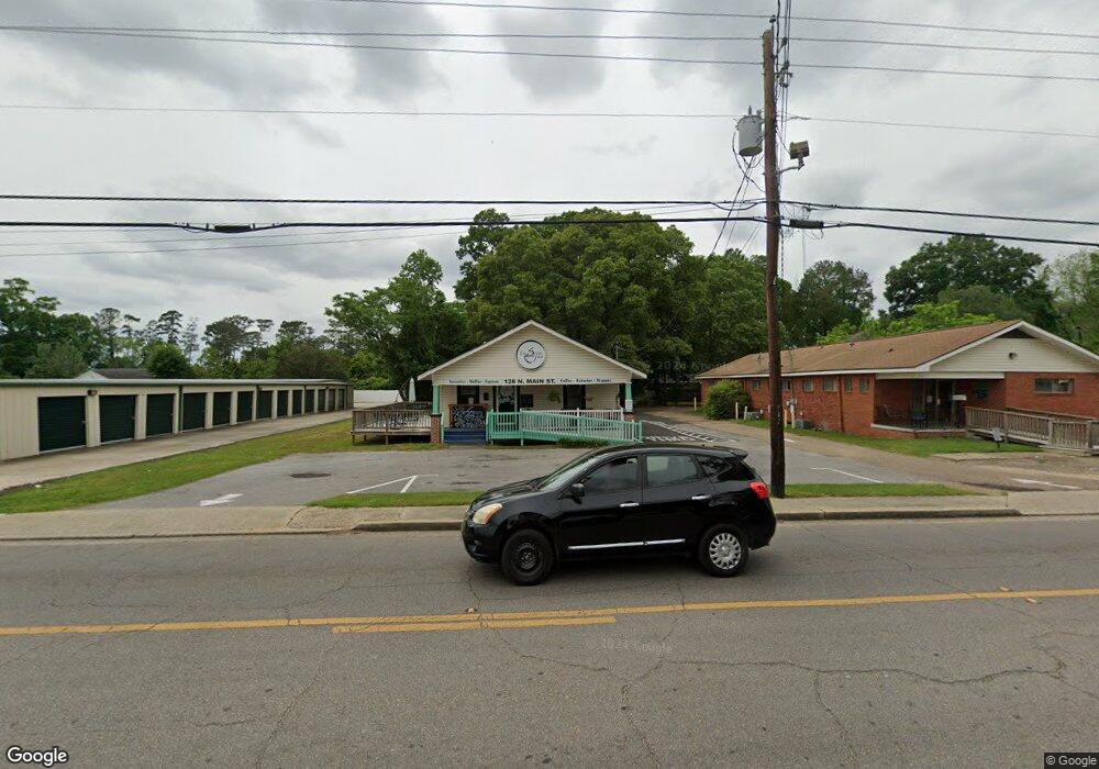
This home is located at 128 N Main St, Petal, MS 39465 and is currently priced at $136,856, approximately $152 per square foot. 128 N Main St is a home located in Forrest County with nearby schools including Petal Primary School, Petal Elementary School, and Petal Middle School.
Ownership History
Date
Name
Owned For
Owner Type
Purchase Details
Closed on
Jun 16, 2025
Sold by
Clark Business Properties Llc
Bought by
Magnolia On Main Salon Llc
Current Estimated Value
Home Financials for this Owner
Home Financials are based on the most recent Mortgage that was taken out on this home.
Original Mortgage
$151,093
Outstanding Balance
$144,686
Interest Rate
6.76%
Mortgage Type
New Conventional
Purchase Details
Closed on
Apr 15, 2019
Sold by
Puckett Christopher James
Bought by
The Sslpp Cafe Llc
Create a Home Valuation Report for This Property
The Home Valuation Report is an in-depth analysis detailing your home's value as well as a comparison with similar homes in the area
Home Values in the Area
Average Home Value in this Area
Purchase History
| Date | Buyer | Sale Price | Title Company |
|---|---|---|---|
| Magnolia On Main Salon Llc | -- | None Listed On Document | |
| Magnolia On Main Salon Llc | -- | None Listed On Document | |
| The Sslpp Cafe Llc | -- | -- |
Source: Public Records
Mortgage History
| Date | Status | Borrower | Loan Amount |
|---|---|---|---|
| Open | Magnolia On Main Salon Llc | $151,093 | |
| Closed | Magnolia On Main Salon Llc | $151,093 |
Source: Public Records
Tax History Compared to Growth
Tax History
| Year | Tax Paid | Tax Assessment Tax Assessment Total Assessment is a certain percentage of the fair market value that is determined by local assessors to be the total taxable value of land and additions on the property. | Land | Improvement |
|---|---|---|---|---|
| 2024 | $1,009 | $5,717 | $0 | $0 |
| 2023 | $1,009 | $38,110 | $0 | $0 |
| 2022 | $980 | $5,717 | $0 | $0 |
| 2021 | $984 | $5,717 | $0 | $0 |
| 2020 | $960 | $5,609 | $0 | $0 |
| 2019 | $970 | $5,609 | $0 | $0 |
| 2018 | $960 | $5,545 | $0 | $0 |
| 2017 | $970 | $5,545 | $0 | $0 |
| 2016 | $921 | $5,311 | $0 | $0 |
| 2015 | $907 | $5,311 | $0 | $0 |
| 2014 | $900 | $5,311 | $0 | $0 |
Source: Public Records
Map
Nearby Homes
- 221 N Main St
- 128 W Cherry Dr
- 0000 N Main St
- 399 N George St
- 112 E 1st Ave
- 420 Old Richton Rd
- 00 W 5th Ave
- 211 Waller St
- 303 Petal Dr
- Lot 254 Petal Dr
- 302 Williams St
- 308 Barron St
- 110 Lewis Ave
- 00 Mcinnis St
- 113 Green St
- 201 Herrod St
- 5.5 +/- Evelyn Gandy Pkwy
- 1123 Evelyn Gandy Pkwy
- 300 Napoleon St
- 000 Crossroads Place