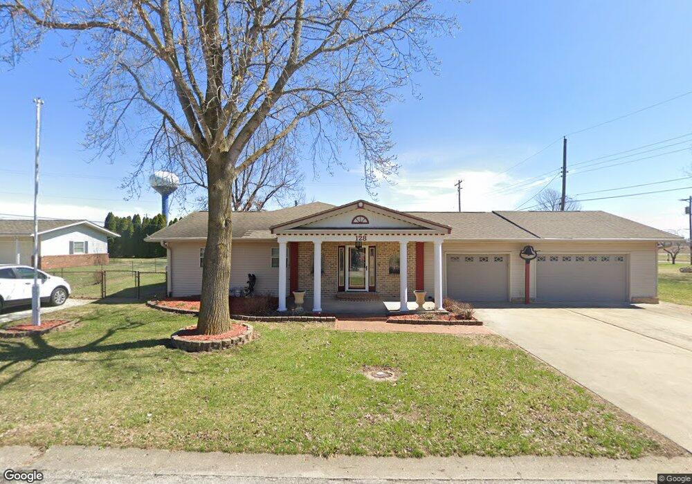
128 N Moore St Unit 1 Illiopolis, IL 62539
Estimated Value: $125,000 - $157,874
--
Bed
--
Bath
--
Sq Ft
0.32
Acres
About This Home
This home is located at 128 N Moore St Unit 1, Illiopolis, IL 62539 and is currently estimated at $147,469. 128 N Moore St Unit 1 is a home located in Sangamon County.
Ownership History
Date
Name
Owned For
Owner Type
Purchase Details
Closed on
Aug 28, 2024
Sold by
Saulsbery Franklin D and Saulsbery Michelle R
Bought by
Saulsbery Franklin D
Current Estimated Value
Home Financials for this Owner
Home Financials are based on the most recent Mortgage that was taken out on this home.
Original Mortgage
$32,470
Outstanding Balance
$31,252
Interest Rate
7.5%
Mortgage Type
New Conventional
Estimated Equity
$116,217
Purchase Details
Closed on
Aug 15, 2007
Create a Home Valuation Report for This Property
The Home Valuation Report is an in-depth analysis detailing your home's value as well as a comparison with similar homes in the area
Home Values in the Area
Average Home Value in this Area
Purchase History
| Date | Buyer | Sale Price | Title Company |
|---|---|---|---|
| Saulsbery Franklin D | -- | None Listed On Document | |
| -- | -- | -- |
Source: Public Records
Mortgage History
| Date | Status | Borrower | Loan Amount |
|---|---|---|---|
| Open | Saulsbery Franklin D | $32,470 |
Source: Public Records
Tax History Compared to Growth
Tax History
| Year | Tax Paid | Tax Assessment Tax Assessment Total Assessment is a certain percentage of the fair market value that is determined by local assessors to be the total taxable value of land and additions on the property. | Land | Improvement |
|---|---|---|---|---|
| 2024 | $3,026 | $47,086 | $5,721 | $41,365 |
| 2023 | $2,765 | $43,465 | $5,281 | $38,184 |
| 2022 | $2,437 | $38,947 | $4,732 | $34,215 |
| 2021 | $2,369 | $37,331 | $4,536 | $32,795 |
| 2020 | $2,283 | $36,149 | $4,392 | $31,757 |
| 2019 | $2,224 | $35,531 | $4,317 | $31,214 |
| 2018 | $2,150 | $34,462 | $4,187 | $30,275 |
| 2017 | $2,115 | $33,654 | $4,089 | $29,565 |
| 2016 | $2,101 | $33,520 | $4,073 | $29,447 |
| 2015 | $2,058 | $32,930 | $4,001 | $28,929 |
| 2014 | $1,989 | $32,367 | $3,933 | $28,434 |
| 2013 | $1,914 | $31,303 | $3,804 | $27,499 |
Source: Public Records
Map
Nearby Homes
- 116 N Moore St Unit 1
- 20961 Center Staff Rd Unit 1
- 414 5th St
- 420 6th St
- 709 Louisa St
- 120 8th St Unit 1
- 13505 W Long Point Rd
- 168 W Lockhart St
- 144 E Lewis St
- 0 Bill Wall Dr
- 1359 S Bridge Rd
- 116 E Center St
- 207 N Church St
- 203 W Railroad St
- Lot 5th Cross St
- 1955 E 2700 Rd N
- 275 N Camp St
- 11951 Mechanicsburg Blacktop
- 495 S Griffith Creek Rd
- 2650 Roby Rd
- 136 N Moore St Unit 1
- 129 N Moore St
- 115 N Moore St Unit 1
- 100 Beaman Dr Unit 1
- 116 Lawrence St
- 210 Lawrence St Unit 1
- 216 Lawrence St Unit 1
- 131 Beaman Dr
- 114 S Moore St
- 234 Lawrence St
- 115 S Moore St Unit 1
- 248 Lawrence St Unit 1
- 105 Prairie Run
- 264 Lawrence St Unit 1
- 109 Prairie Run No Street Suffix
- 109 Prairie Run
- 280 Lawrence St Unit 1
- 113 Prairie Run
- 29 Lawrence St
- 117 Cherry St Unit 1