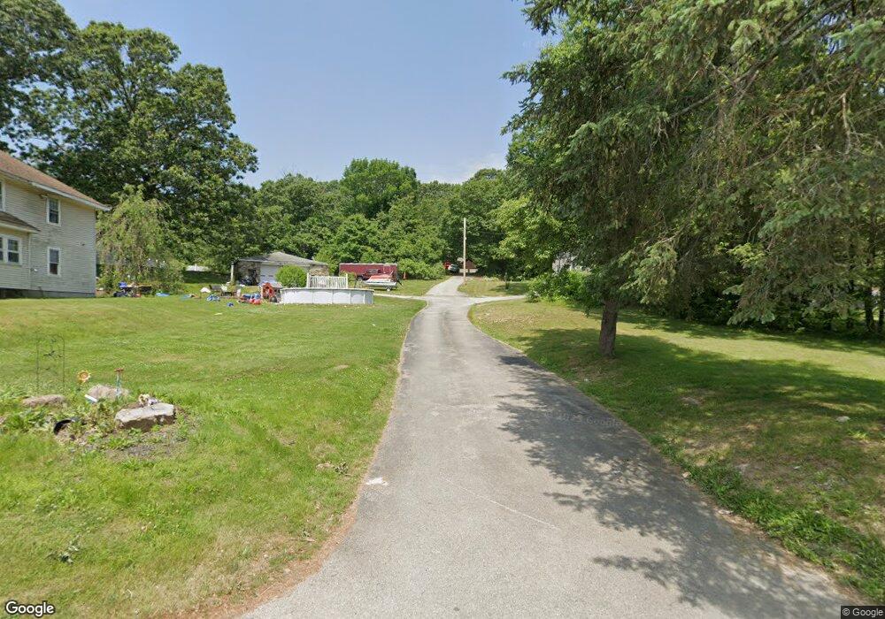
128 Rochdale St Auburn, MA 01501
Stoneville NeighborhoodEstimated Value: $705,000 - $774,000
3
Beds
3
Baths
2,474
Sq Ft
$296/Sq Ft
Est. Value
About This Home
This home is located at 128 Rochdale St, Auburn, MA 01501 and is currently estimated at $732,862, approximately $296 per square foot. 128 Rochdale St is a home located in Worcester County with nearby schools including Auburn Senior High School and Shrewsbury Montessori School - Auburn Campus.
Ownership History
Date
Name
Owned For
Owner Type
Purchase Details
Closed on
May 28, 2021
Sold by
Berube Kenneth B and Berube Margarite A
Bought by
Derosier Walter A and Derosier Ashley C
Current Estimated Value
Home Financials for this Owner
Home Financials are based on the most recent Mortgage that was taken out on this home.
Original Mortgage
$310,000
Outstanding Balance
$281,102
Interest Rate
3%
Mortgage Type
Purchase Money Mortgage
Estimated Equity
$451,760
Purchase Details
Closed on
Jul 2, 1998
Sold by
Newgem Bldrs Inc
Bought by
Berube Kenneth B and Berube Margarite A
Home Financials for this Owner
Home Financials are based on the most recent Mortgage that was taken out on this home.
Original Mortgage
$140,000
Interest Rate
7.04%
Mortgage Type
Purchase Money Mortgage
Create a Home Valuation Report for This Property
The Home Valuation Report is an in-depth analysis detailing your home's value as well as a comparison with similar homes in the area
Home Values in the Area
Average Home Value in this Area
Purchase History
| Date | Buyer | Sale Price | Title Company |
|---|---|---|---|
| Derosier Walter A | $560,000 | Metropolitan Title Agency | |
| Berube Kenneth B | $232,500 | -- |
Source: Public Records
Mortgage History
| Date | Status | Borrower | Loan Amount |
|---|---|---|---|
| Open | Derosier Walter A | $310,000 | |
| Previous Owner | Berube Kenneth B | $25,000 | |
| Previous Owner | Berube Kenneth B | $140,000 |
Source: Public Records
Tax History Compared to Growth
Tax History
| Year | Tax Paid | Tax Assessment Tax Assessment Total Assessment is a certain percentage of the fair market value that is determined by local assessors to be the total taxable value of land and additions on the property. | Land | Improvement |
|---|---|---|---|---|
| 2025 | $89 | $625,600 | $163,200 | $462,400 |
| 2024 | $9,022 | $604,300 | $159,600 | $444,700 |
| 2023 | $8,702 | $548,000 | $145,200 | $402,800 |
| 2022 | $8,262 | $491,200 | $145,200 | $346,000 |
| 2021 | $8,201 | $452,100 | $131,400 | $320,700 |
| 2020 | $7,962 | $442,800 | $131,400 | $311,400 |
| 2019 | $7,873 | $427,400 | $130,200 | $297,200 |
| 2018 | $3,752 | $424,300 | $123,600 | $300,700 |
| 2017 | $7,406 | $403,800 | $115,200 | $288,600 |
| 2016 | $7,202 | $398,100 | $117,600 | $280,500 |
| 2015 | $6,749 | $391,000 | $117,600 | $273,400 |
| 2014 | $6,086 | $352,000 | $113,400 | $238,600 |
Source: Public Records
Map
Nearby Homes