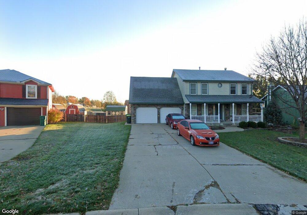
128 S Brookridge St Lansing, KS 66043
Estimated Value: $312,000 - $395,000
5
Beds
4
Baths
2,057
Sq Ft
$176/Sq Ft
Est. Value
About This Home
This home is located at 128 S Brookridge St, Lansing, KS 66043 and is currently estimated at $361,696, approximately $175 per square foot. 128 S Brookridge St is a home located in Leavenworth County with nearby schools including Lansing Elementary School, Lansing Middle 6-8, and Lansing High 9-12.
Ownership History
Date
Name
Owned For
Owner Type
Purchase Details
Closed on
Jul 1, 2004
Bought by
Gibson Thomas S and Gibson Nancy L
Current Estimated Value
Home Financials for this Owner
Home Financials are based on the most recent Mortgage that was taken out on this home.
Original Mortgage
$172,601
Outstanding Balance
$136,362
Interest Rate
6.21%
Mortgage Type
VA
Estimated Equity
$225,334
Create a Home Valuation Report for This Property
The Home Valuation Report is an in-depth analysis detailing your home's value as well as a comparison with similar homes in the area
Home Values in the Area
Average Home Value in this Area
Purchase History
| Date | Buyer | Sale Price | Title Company |
|---|---|---|---|
| Gibson Thomas S | $170,000 | -- |
Source: Public Records
Mortgage History
| Date | Status | Borrower | Loan Amount |
|---|---|---|---|
| Open | Gibson Thomas S | $172,601 | |
| Closed | Gibson Thomas S | $195,000 |
Source: Public Records
Tax History Compared to Growth
Tax History
| Year | Tax Paid | Tax Assessment Tax Assessment Total Assessment is a certain percentage of the fair market value that is determined by local assessors to be the total taxable value of land and additions on the property. | Land | Improvement |
|---|---|---|---|---|
| 2025 | $5,098 | $38,985 | $4,897 | $34,088 |
| 2024 | $4,731 | $37,877 | $3,885 | $33,992 |
| 2023 | $4,731 | $36,420 | $3,885 | $32,535 |
| 2022 | $4,549 | $33,108 | $3,031 | $30,077 |
| 2021 | $4,161 | $28,911 | $3,031 | $25,880 |
| 2020 | $3,861 | $26,415 | $3,031 | $23,384 |
| 2019 | $3,662 | $25,035 | $3,031 | $22,004 |
| 2018 | $3,422 | $23,428 | $2,521 | $20,907 |
| 2017 | $3,266 | $22,325 | $2,521 | $19,804 |
| 2016 | $3,152 | $21,541 | $2,521 | $19,020 |
| 2015 | $2,959 | $20,305 | $2,521 | $17,784 |
| 2014 | $2,869 | $20,103 | $2,521 | $17,582 |
Source: Public Records
Map
Nearby Homes
- 20958 Ida St
- 218 Oak Hill St
- 129 Crestview Ct
- 415 Fairlane St
- 124 S Main St
- 202 S Main St
- 129 Brookwood St
- 268 Holiday Dr
- 542 Creekside Ct
- 527 S Valley Dr
- 104 Olive St
- 218 E Kay St
- 310 E Kansas Ave
- 306 E Kay St
- 000 4-H Rd
- 811 4-H Rd
- 922 Southfork St
- 522 Forestglen Ln
- 546 Hithergreen Dr
- 1102 N Main St
- 132 S Brookridge St
- 124 S Brookridge St
- 613 Meadowlark Rd
- 120 S Brookridge St
- 117 S Brookridge St
- 138 S Brookridge St
- 615 Meadowlark Rd
- 121 S Brookridge St
- 604 Meadowlark Rd
- 125 Brookridge St
- 125 S Brookridge St
- 126 S Meadow Ct
- 218 S Brookridge St
- 619 Meadowlark Rd
- 627 Ida St
- 203 S Brookridge St
- 128 S Meadow Ct
- 124 S Meadow Ct
- 600 Ida St
- 614 Meadowlark Rd