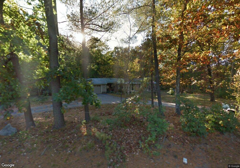
128 West River Rd Hooksett, NH 03106
Estimated Value: $423,000 - $459,000
3
Beds
1
Bath
1,056
Sq Ft
$412/Sq Ft
Est. Value
About This Home
This home is located at 128 West River Rd, Hooksett, NH 03106 and is currently estimated at $435,366, approximately $412 per square foot. 128 West River Rd is a home located in Merrimack County with nearby schools including Fred C. Underhill School, Hooksett Memorial School, and David R. Cawley Middle School.
Ownership History
Date
Name
Owned For
Owner Type
Purchase Details
Closed on
Aug 31, 1998
Sold by
Durost Doris L
Bought by
Piroso Martin J and Piroso Donna L
Current Estimated Value
Home Financials for this Owner
Home Financials are based on the most recent Mortgage that was taken out on this home.
Original Mortgage
$88,400
Outstanding Balance
$18,883
Interest Rate
6.9%
Estimated Equity
$416,483
Create a Home Valuation Report for This Property
The Home Valuation Report is an in-depth analysis detailing your home's value as well as a comparison with similar homes in the area
Home Values in the Area
Average Home Value in this Area
Purchase History
| Date | Buyer | Sale Price | Title Company |
|---|---|---|---|
| Piroso Martin J | $110,500 | -- |
Source: Public Records
Mortgage History
| Date | Status | Borrower | Loan Amount |
|---|---|---|---|
| Open | Piroso Martin J | $88,400 |
Source: Public Records
Tax History
| Year | Tax Paid | Tax Assessment Tax Assessment Total Assessment is a certain percentage of the fair market value that is determined by local assessors to be the total taxable value of land and additions on the property. | Land | Improvement |
|---|---|---|---|---|
| 2024 | $6,094 | $359,300 | $124,000 | $235,300 |
| 2023 | $5,742 | $359,300 | $122,800 | $236,500 |
| 2022 | $5,378 | $223,600 | $84,000 | $139,600 |
| 2021 | $4,968 | $223,600 | $84,000 | $139,600 |
| 2020 | $5,033 | $223,600 | $84,000 | $139,600 |
| 2019 | $4,819 | $223,600 | $84,000 | $139,600 |
| 2018 | $4,946 | $223,600 | $84,000 | $139,600 |
| 2017 | $4,859 | $181,700 | $74,000 | $107,700 |
| 2016 | $4,795 | $181,700 | $74,000 | $107,700 |
| 2015 | $4,492 | $181,700 | $74,000 | $107,700 |
| 2014 | $4,512 | $181,700 | $74,000 | $107,700 |
| 2013 | $4,266 | $181,700 | $74,000 | $107,700 |
Source: Public Records
Map
Nearby Homes
- 245 W River Rd
- 5 Cross Rd
- 9 Lancelot Dr
- 620 Hackett Hill Rd Unit B007
- 190 Chase Way
- 32 Lindsay Rd
- 141 Chase Way
- 315 Hackett Hill Rd
- 90 Golfview Dr
- 1465 Hooksett Rd Unit 418
- 1465 Hooksett Rd Unit 183
- 1465 Hooksett Rd Unit 390
- 1465 Hooksett Rd Unit 41
- 286B Londonderry Turnpike Unit A
- 62 Harold St
- 15 Northbrook Dr Unit 1512
- 278 Exchange Ave
- 9 Berry Hill Rd
- 14 Northbrook Dr Unit 1410
- 14 Northbrook Dr Unit 1408
- 124 West River Rd
- 122 W River Rd
- 122 West River Rd
- 123 West River Rd
- 135 West River Rd
- 134 West River Rd
- 135 West River Rd
- 120 West River Rd
- 120 W River Rd
- 121 West River Rd
- 137 West River Rd
- 137 West River Rd
- 15 Gosselin Ave
- 118 W River Rd
- 116 W River Rd Unit D6
- 116 W River Rd Unit D5
- 116 W River Rd
- 116 W River Rd Unit D6A
- 138 West River Rd
- 143 W River Rd
Your Personal Tour Guide
Ask me questions while you tour the home.