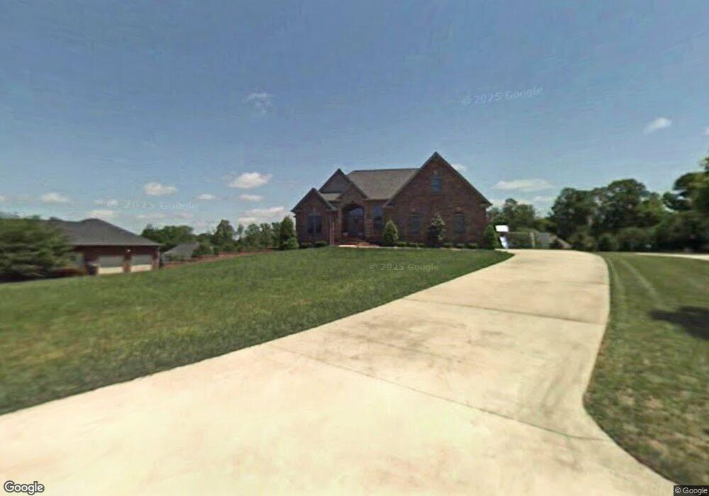
128 Whites Point Dr Cookeville, TN 38506
Estimated Value: $468,890 - $601,000
--
Bed
4
Baths
2,697
Sq Ft
$203/Sq Ft
Est. Value
About This Home
This home is located at 128 Whites Point Dr, Cookeville, TN 38506 and is currently estimated at $546,973, approximately $202 per square foot. 128 Whites Point Dr is a home located in Putnam County with nearby schools including Capshaw Elementary School, Cookeville High School, and Avery Trace Middle School.
Ownership History
Date
Name
Owned For
Owner Type
Purchase Details
Closed on
Sep 19, 2001
Sold by
Donald Tinch and Donald Gail
Bought by
Langford John E and Langford Leslie M
Current Estimated Value
Purchase Details
Closed on
Apr 5, 2000
Sold by
Hall Aaron D
Bought by
Donald Tinch and Donald Gail
Purchase Details
Closed on
Nov 19, 1993
Bought by
Copeland Harold E and Hall Aaron D
Purchase Details
Closed on
Jun 29, 1990
Bought by
Point Development Company
Create a Home Valuation Report for This Property
The Home Valuation Report is an in-depth analysis detailing your home's value as well as a comparison with similar homes in the area
Home Values in the Area
Average Home Value in this Area
Purchase History
| Date | Buyer | Sale Price | Title Company |
|---|---|---|---|
| Langford John E | $260,000 | -- | |
| Donald Tinch | $23,500 | -- | |
| Copeland Harold E | $152,400 | -- | |
| Point Development Company | -- | -- |
Source: Public Records
Tax History Compared to Growth
Tax History
| Year | Tax Paid | Tax Assessment Tax Assessment Total Assessment is a certain percentage of the fair market value that is determined by local assessors to be the total taxable value of land and additions on the property. | Land | Improvement |
|---|---|---|---|---|
| 2024 | $2,465 | $92,675 | $7,075 | $85,600 |
| 2023 | $2,465 | $92,675 | $7,075 | $85,600 |
| 2022 | $2,277 | $92,125 | $7,075 | $85,050 |
| 2021 | $2,277 | $92,125 | $7,075 | $85,050 |
| 2020 | $2,218 | $92,125 | $7,075 | $85,050 |
| 2019 | $2,218 | $75,800 | $7,075 | $68,725 |
| 2018 | $2,069 | $75,800 | $7,075 | $68,725 |
| 2017 | $1,748 | $75,800 | $7,075 | $68,725 |
| 2016 | $1,748 | $64,025 | $7,075 | $56,950 |
| 2015 | $1,796 | $64,025 | $7,075 | $56,950 |
| 2014 | $1,830 | $65,254 | $0 | $0 |
Source: Public Records
Map
Nearby Homes
- 0 Whites Point Dr Unit 239313
- 2100 Pinnacle View
- 0 Mountain Top Ln
- 546 Geeseway Dr
- 461 S Plantation Dr
- 488 S Plantation Dr
- 484 S Plantation Dr
- 0 S Plantation Dr
- 143 Old Qualls Rd
- 333 New Heritage Dr
- 3447 Shenandoah Ln
- 322 New Heritage Dr
- 3524 Heritage Green Way
- 3516 Heritage Green Way
- 0 Burton Cove Rd
- 167 Parragon Rd
- 1500 N Plantation Dr
- 1566 N Plantation Dr
- 124 Whites Point Dr
- 124 White's Point Dr
- 132 White's Point Dr
- 132 Whites Point Dr
- 131 Mountain Top Ln
- 127 Mountain Top Ln
- 136 Whites Point Dr
- 120 Whites Point Dr
- 141 Whites Point Dr
- 141 White's Point Dr
- 135 Mountain Top Ln
- 123 Mountain Top Ln
- 133 White's Point Dr
- 133 Whites Pointe
- 133 Whites Point Dr
- 116 Whites Point Dr
- 149 White's Point Dr
- 149 Whites Point Dr
- 119 Mountain Top Ln
- 125 Whites Point Dr
