128 Wt Agnew Cir Anderson, SC 29621
Estimated Value: $445,000 - $756,840
5
Beds
4
Baths
3,500
Sq Ft
$164/Sq Ft
Est. Value
About This Home
This home is located at 128 Wt Agnew Cir, Anderson, SC 29621 and is currently estimated at $574,710, approximately $164 per square foot. 128 Wt Agnew Cir is a home with nearby schools including Belton Honea Path High School.
Ownership History
Date
Name
Owned For
Owner Type
Purchase Details
Closed on
Oct 31, 2006
Sold by
Vonbergen Kenneth R and Vonbergen Pamela L
Bought by
Agnew Maxie O
Current Estimated Value
Home Financials for this Owner
Home Financials are based on the most recent Mortgage that was taken out on this home.
Original Mortgage
$290,000
Outstanding Balance
$204,638
Interest Rate
9.96%
Mortgage Type
Purchase Money Mortgage
Estimated Equity
$370,072
Purchase Details
Closed on
Apr 27, 2005
Sold by
Interbay Funding Llc
Bought by
Vonbergen Kenneth R and Vonbergen Pamela L
Home Financials for this Owner
Home Financials are based on the most recent Mortgage that was taken out on this home.
Original Mortgage
$107,500
Interest Rate
5.27%
Mortgage Type
New Conventional
Purchase Details
Closed on
Sep 23, 2003
Sold by
Master In Equity
Bought by
Interbay Funding Llc
Create a Home Valuation Report for This Property
The Home Valuation Report is an in-depth analysis detailing your home's value as well as a comparison with similar homes in the area
Home Values in the Area
Average Home Value in this Area
Purchase History
| Date | Buyer | Sale Price | Title Company |
|---|---|---|---|
| Agnew Maxie O | $290,000 | None Available | |
| Vonbergen Kenneth R | $190,000 | -- | |
| Interbay Funding Llc | $25,000 | -- |
Source: Public Records
Mortgage History
| Date | Status | Borrower | Loan Amount |
|---|---|---|---|
| Open | Agnew Maxie O | $290,000 | |
| Previous Owner | Vonbergen Kenneth R | $107,500 |
Source: Public Records
Tax History Compared to Growth
Tax History
| Year | Tax Paid | Tax Assessment Tax Assessment Total Assessment is a certain percentage of the fair market value that is determined by local assessors to be the total taxable value of land and additions on the property. | Land | Improvement |
|---|---|---|---|---|
| 2024 | $1,646 | $13,190 | $260 | $12,930 |
| 2023 | $1,646 | $13,190 | $260 | $12,930 |
| 2022 | $1,626 | $13,190 | $260 | $12,930 |
| 2021 | $1,471 | $11,290 | $220 | $11,070 |
| 2020 | $1,459 | $11,290 | $220 | $11,070 |
| 2019 | $1,459 | $11,290 | $220 | $11,070 |
| 2018 | $1,494 | $11,290 | $220 | $11,070 |
| 2017 | -- | $11,290 | $220 | $11,070 |
| 2016 | $1,477 | $11,220 | $110 | $11,110 |
| 2015 | $1,600 | $11,220 | $110 | $11,110 |
| 2014 | $1,617 | $11,220 | $110 | $11,110 |
Source: Public Records
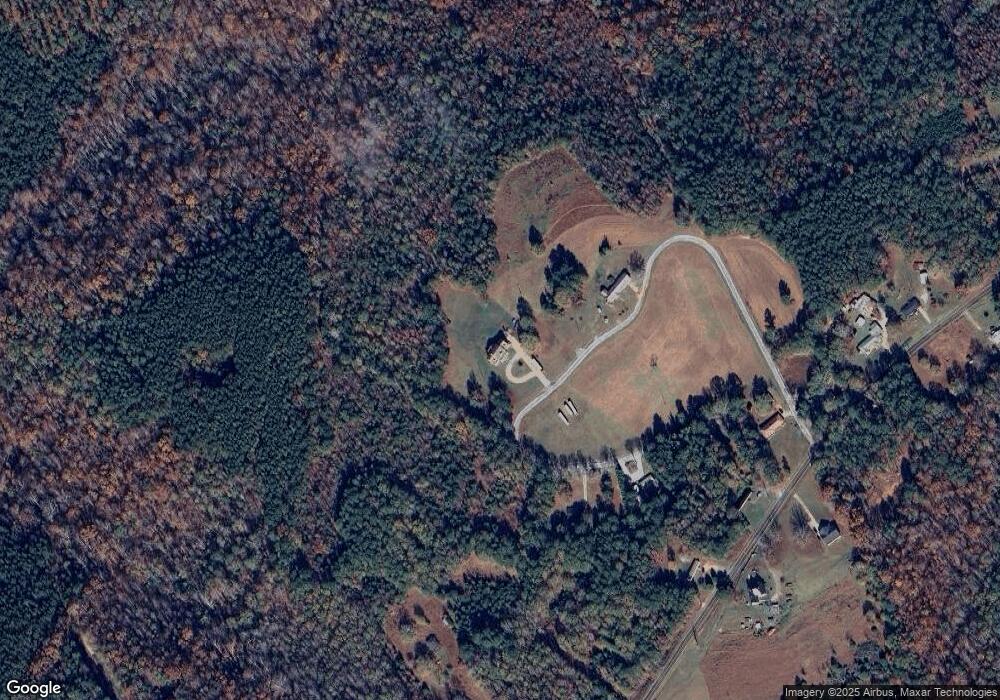
Map
Nearby Homes
- 101 Rocky Top Rd
- 00 Robertson Rd
- 2213 Broadway Lake Rd
- 0 Broadway Lake Rd Unit 23383777
- 2604 Broadway Lake Rd
- 1905 Broadway Lake Rd
- 1111 Shirley Dr
- 450 Johnson Ave
- 00 Shirley Dr
- 329 McFalls Landing
- 113 P-14-64
- Lot 8 and Lot 9 High Shoals Rd
- Lot 10 High Shoals Rd
- Lot 9 High Shoals Rd
- Lot 7 High Shoals Rd
- Lot 8 High Shoals Rd
- 00 High Shoals Rd
- 3115 Highway 28 S
- 104 Hart Rd
- 218 Hammond Cir