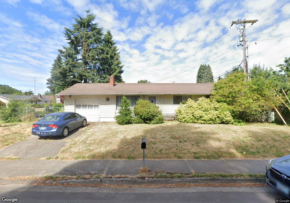
1280 Aspen St Springfield, OR 97477
West Springfield NeighborhoodEstimated Value: $309,000 - $384,000
3
Beds
1
Bath
1,025
Sq Ft
$351/Sq Ft
Est. Value
About This Home
This home is located at 1280 Aspen St, Springfield, OR 97477 and is currently estimated at $359,631, approximately $350 per square foot. 1280 Aspen St is a home located in Lane County with nearby schools including Centennial Elementary School, Hamlin Middle School, and Springfield High School.
Ownership History
Date
Name
Owned For
Owner Type
Purchase Details
Closed on
Dec 29, 2004
Sold by
Goodey Darwin J
Bought by
Williamson Michael D
Current Estimated Value
Home Financials for this Owner
Home Financials are based on the most recent Mortgage that was taken out on this home.
Original Mortgage
$94,800
Outstanding Balance
$47,056
Interest Rate
5.7%
Mortgage Type
Purchase Money Mortgage
Estimated Equity
$312,575
Create a Home Valuation Report for This Property
The Home Valuation Report is an in-depth analysis detailing your home's value as well as a comparison with similar homes in the area
Home Values in the Area
Average Home Value in this Area
Purchase History
| Date | Buyer | Sale Price | Title Company |
|---|---|---|---|
| Williamson Michael D | $118,500 | Evergreen Land Title Company |
Source: Public Records
Mortgage History
| Date | Status | Borrower | Loan Amount |
|---|---|---|---|
| Open | Williamson Michael D | $94,800 | |
| Closed | Williamson Michael D | $23,700 |
Source: Public Records
Tax History Compared to Growth
Tax History
| Year | Tax Paid | Tax Assessment Tax Assessment Total Assessment is a certain percentage of the fair market value that is determined by local assessors to be the total taxable value of land and additions on the property. | Land | Improvement |
|---|---|---|---|---|
| 2025 | $2,403 | $164,066 | -- | -- |
| 2024 | $2,338 | $159,288 | -- | -- |
| 2023 | $2,338 | $154,649 | $0 | $0 |
| 2022 | $2,223 | $150,145 | $0 | $0 |
| 2021 | $2,175 | $145,772 | $0 | $0 |
| 2020 | $2,112 | $141,527 | $0 | $0 |
| 2019 | $2,038 | $137,405 | $0 | $0 |
| 2018 | $1,960 | $129,517 | $0 | $0 |
| 2017 | $1,901 | $129,517 | $0 | $0 |
| 2016 | $1,859 | $125,745 | $0 | $0 |
| 2015 | $1,814 | $122,083 | $0 | $0 |
| 2014 | $1,737 | $118,527 | $0 | $0 |
Source: Public Records
Map
Nearby Homes
- 1770 Brandy Way
- 1632 Dotie Dr
- 955 Oak Meadows Place
- 1130 Anderson Ln
- 1723 Dotie Dr
- 1120 W Fairview Dr Unit 3
- 1310 W Quinalt St
- 872 W N St
- 835 Anderson Ln
- 804 W N St
- 633 Rowan Ave
- 930 Prescott Ln
- 436 W M St
- 428 W Centennial Blvd
- 952 Summit Blvd
- 3515 Regent Ave
- 0 Summit Blvd Unit 6305 24210629
- 835 Willacade Ct
- 552 W D St
- 475 Riverview Blvd
- 1348 Sequoia Ave
- 1323 Cottonwood Ave
- 1341 Cottonwood Ave
- 1321 Sequoia Ave
- 1345 Sequoia Ave
- 1278 Sequoia Ave
- 1350 Sequoia Ave
- 1285 Aspen St
- 1379 Cottonwood Ave
- 1285 Sequoia Ave
- 1361 Sequoia Ct
- 1160 Aspen St
- 1364 Sequoia Ave
- 1371 Sequoia Ct
- 1266 Sequoia Ave
- 1393 Cottonwood Ave
- 1324 Cottonwood Ave
- 1279 Sequoia Ave
- 1155 Aspen St
- 1340 Cottonwood Ave