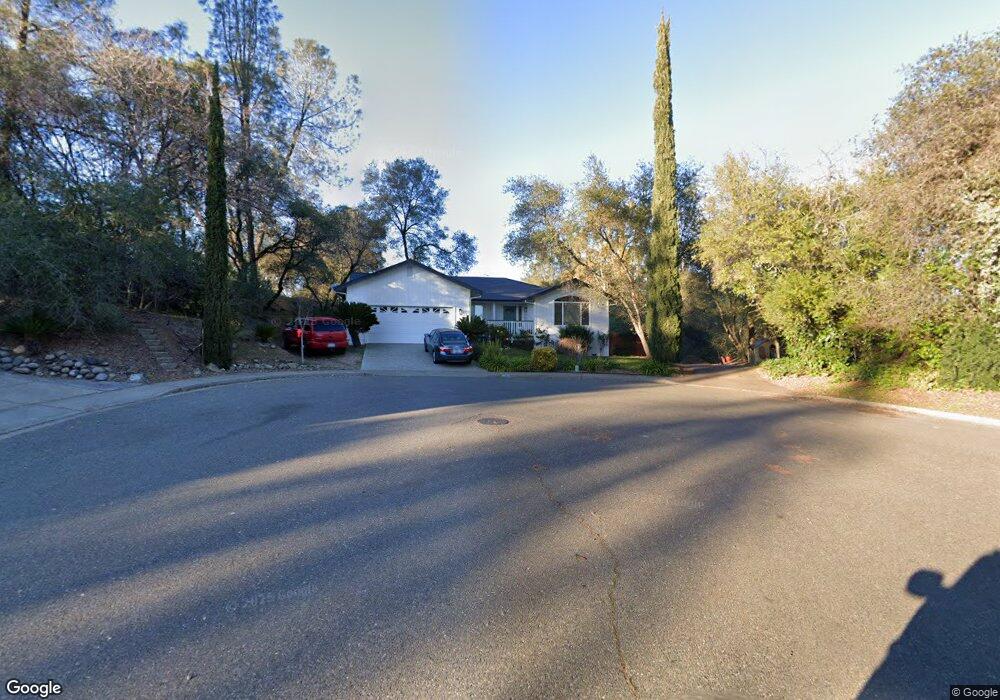
1280 Grove Ct Auburn, CA 95603
Estimated Value: $529,487 - $640,000
3
Beds
2
Baths
1,697
Sq Ft
$334/Sq Ft
Est. Value
About This Home
This home is located at 1280 Grove Ct, Auburn, CA 95603 and is currently estimated at $567,122, approximately $334 per square foot. 1280 Grove Ct is a home located in Placer County with nearby schools including Auburn Elementary School, Placer High School, and Alta Vista Community Charter.
Ownership History
Date
Name
Owned For
Owner Type
Purchase Details
Closed on
Jan 27, 2020
Sold by
Eisley Earle R
Bought by
Eisley Linda M
Current Estimated Value
Purchase Details
Closed on
Aug 10, 2011
Sold by
Eisley Linda M and Dejersey Linda
Bought by
Eisley Linda M
Purchase Details
Closed on
Jan 8, 2001
Sold by
Eisley Earle R
Bought by
Eisley Earle R
Purchase Details
Closed on
Jun 5, 1997
Sold by
Eisley Earle R and Eisley Linda De
Bought by
Eisley Earle and Eisley Linda
Create a Home Valuation Report for This Property
The Home Valuation Report is an in-depth analysis detailing your home's value as well as a comparison with similar homes in the area
Home Values in the Area
Average Home Value in this Area
Purchase History
| Date | Buyer | Sale Price | Title Company |
|---|---|---|---|
| Eisley Linda M | -- | None Available | |
| Eisley Earle R | -- | None Available | |
| Eisley Linda M | -- | None Available | |
| Eisley Earle R | -- | -- | |
| Eisley Earle | -- | -- |
Source: Public Records
Tax History Compared to Growth
Tax History
| Year | Tax Paid | Tax Assessment Tax Assessment Total Assessment is a certain percentage of the fair market value that is determined by local assessors to be the total taxable value of land and additions on the property. | Land | Improvement |
|---|---|---|---|---|
| 2025 | $3,802 | $274,755 | $171,334 | $103,421 |
| 2023 | $3,802 | $264,088 | $164,682 | $99,406 |
| 2022 | $3,757 | $258,910 | $161,453 | $97,457 |
| 2021 | $3,656 | $253,835 | $158,288 | $95,547 |
| 2020 | $3,637 | $251,233 | $156,665 | $94,568 |
| 2019 | $3,587 | $246,308 | $153,594 | $92,714 |
| 2018 | $3,444 | $241,480 | $150,583 | $90,897 |
| 2017 | $3,362 | $236,746 | $147,631 | $89,115 |
| 2016 | $3,275 | $232,105 | $144,737 | $87,368 |
| 2015 | $3,184 | $228,619 | $142,563 | $86,056 |
| 2014 | $3,115 | $224,142 | $139,771 | $84,371 |
Source: Public Records
Map
Nearby Homes
- 11853 Mount Vernon Rd
- 7035 Mount Vernon Rd
- 55 Neils
- 0 Atwood Rd Unit 225057955
- 34-35 Grass Valley Hwy
- 831 Auburn Ravine Rd
- 771 Auburn Ravine Rd
- 760 Dorothy Way Unit 11
- 266 Swenson Ct
- 280 Fulweiler Ave
- 278 Swenson Ct
- 1240 Live Oak Ln
- 63 Goldenrod Ave
- 1257 Live Oak Ln
- 287 Swenson Ct
- 258 Swenson Ct
- 110 Marigold Ave
- 99 Marigold Ave
- 23 Larkspur Ave
- 561 Silkwood Dr
- 1285 Grove Ct
- 1275 Grove Ct
- 1270 Grove Ct
- 1130 Merry Knoll Rd
- 1265 Grove Ct
- 1260 Grove Ct
- 1255 Grove Ct
- 1140 Merry Knoll Rd
- 11741 Mount Vernon Rd
- 1245 Grove Ct
- 1240 Grove Ct
- 1150 Merry Knoll Rd
- 1145 Merry Knoll Rd
- 1235 Grove Ct
- 1480 Merry Knoll Rd
- 1115 Merry Knoll Rd
- 1155 Merry Knoll Rd
- 11737 Mount Vernon Rd
- 1225 Grove Ct
- 1170 Merry Knoll Rd